Fifteen years later: Remembering a beloved crew member

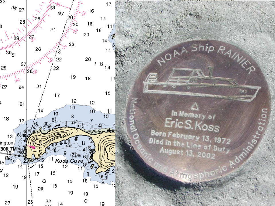
Koss Cove in Resurrection Bay as seen on chart 16702. Commemorative survey marker honoring Eric Koss (right).

The date, August 13, 2002, stands out in the memory of many Coast Survey employees, but most poignantly for the crew of NOAA Ship Rainier. It was this day in Prince William Sound, Alaska, when NOAA Ship Rainier’s survey launch capsized after being struck by high waves, killing Eric Koss, one of their beloved crewman and coxswain. The small launch was conducting nearshore surveys off Point Elrington in Prince William Sound. The seas were rough, but typical for the area. When the launch capsized, two of the crew members, David Fischman and NOAA Corps Ensign Jennifer Johnson, swam to safety, but Eric perished in the accident. Continue reading “Fifteen years later: Remembering a beloved crew member”

NOAA participates in the Boy Scouts of America National Jamboree

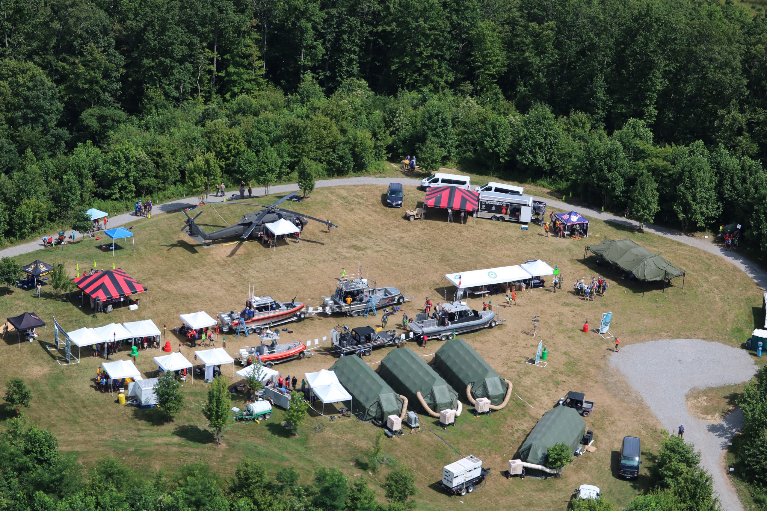
The U.S. Coast Guard (USCG) invited NOAA to participate in a joint task force at the Boy Scouts of America National Jamboree. Volunteer representatives from USCG active and reserve, USCG Auxiliary, USCG civilian workforce, and NOAA Corps created a large-scale exhibit to inform young men, young women, and adult leaders about the services that USCG and NOAA provide to the nation. Continue reading “NOAA participates in the Boy Scouts of America National Jamboree”

NOAA Ship Rainier holds change of command ceremony

by ENS Michelle Levano

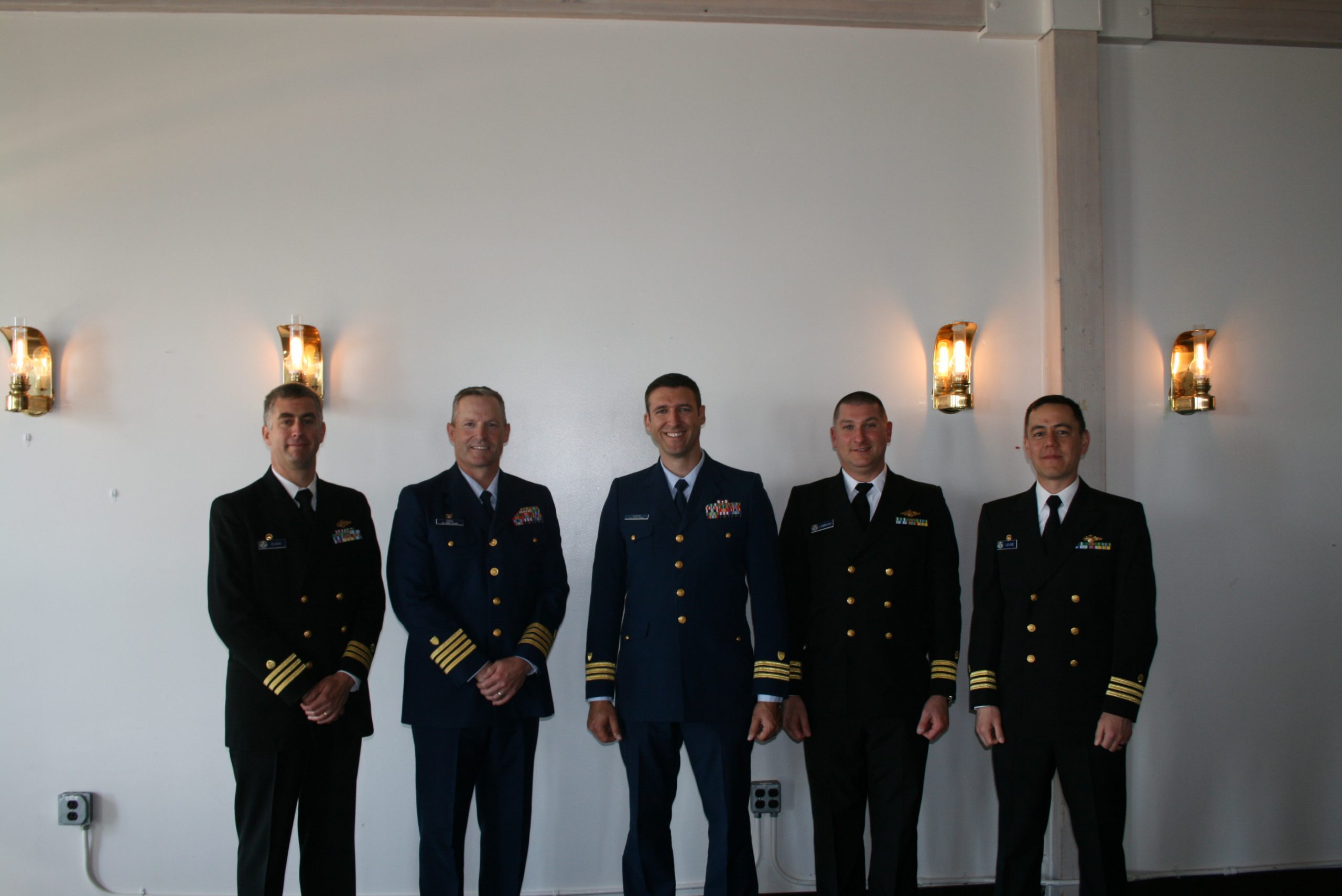
On July 22, 2017, the crew of NOAA Ship Rainier hosted a change of command while at United States Coast Guard Base Kodiak, Alaska.
Commander Benjamin Evans accepted command of Rainier, relieving Commander John Lomnicky in a ceremony led by Captain Keith Roberts, commanding officer of NOAA’s Office of Marine and Aviation Operations (OMAO) Marine Operations Center-Pacific. Distinguished guests included Captain Richard Brennan, chief of NOAA Office of Coast Survey’s Hydrographic Surveys Division, Mr. Greg Kaplan, Military and Veterans Affairs liaison for Senator Lisa Murkowski, Captain Jeffery Good, commanding officer United States Coast Guard (USCG) Base Kodiak, Commander Michael Levine, commanding officer of NOAA Ship Oscar Dyson, and Commander Daniel Rogers, executive officer of United States Coast Guard Base Kodiak. Continue reading “NOAA Ship Rainier holds change of command ceremony”

NOAA hosts third annual workshop on nautical chart adequacy

Nautical Chart Adequacy Workshop 2017 participants and instructors.

This week, NOAA’s Office of Coast Survey hosted its third annual workshop on nautical chart adequacy. Twelve students participated in the training and learned techniques to evaluate the suitability of nautical chart products using chart quality and publicly available information. This year’s workshop emphasized cartography and the ability to transfer NOAA procedures to the students’ charting products. The workshop provided a theoretical background on:

  • Chart production at NOAA
  • Review of NOAA charted symbols and abbreviations
  • Review of automatic identification systems (AIS) and satellite-derived bathymetry (SDB)
  • Overview of the chart adequacy procedure

Continue reading “NOAA hosts third annual workshop on nautical chart adequacy”

Rear Adm. Shepard M. Smith elected to chair the International Hydrographic Organization Council

RDML Smith (fifth from left) with the Arctic Regional Hydrographic Commission (October 2016, Iqaluit, Canada).

Rear Adm. Shepard M. Smith, director of NOAA’s Office of Coast Survey and the U.S. national representative to the International Hydrographic Organization (IHO), was elected as the chair of the newly established IHO Council.
The council was established in November 2016 as a result of the adoption of amendments to the Convention on the International Hydrographic Organization. It is composed of 30 leading hydrographic nations from the membership of the IHO, and functions much like a corporate board of directors, overseeing performance management and the business side of the IHO. Continue reading “Rear Adm. Shepard M. Smith elected to chair the International Hydrographic Organization Council”

NOAA hosts first open house on nautical cartography

Over 25 posters were displayed along with NOAA current and historical nautical charts, and NOAA Chart Tile Service in NOAA’s Science Center.

NOAA’s Office of Coast Survey hosted the first NOAA open house on nautical cartography on Friday, July 7th. The event featured posters, presentations, and tours focusing on nautical cartography, highlighting the field of charting and GIS. Industry partners such as ESRI, CARIS, Fugro Palegos, Inc., and IIC Technologies, international mapping groups such as Cartography and Geographic Information Society (CaGIS) and General Bathymetric Chart of the Oceans (GEBCO), government agencies such as U.S. Army Corps of Engineers and the Navy, and many international charting offices were in attendance. The open house welcomed a total of 200 visitors, representing 24 countries. Continue reading “NOAA hosts first open house on nautical cartography”

Surveying, rescue drills, and an open house—NOAA Ship Rainier has been busy!

by ENS Michelle Levano

NOAA Ship Rainier continues hydrographic survey operations in Chiniak Bay, near Kodiak, Alaska. As of June 1, 2017, Rainier and her survey launches have surveyed 2,025 nautical miles in the Spruce Island, Long Island, Middle Bay, Kalsin Bay, Isthmus Bay, and offshore Cape Chiniak areas. The total distance surveyed is about as long as the Mississippi River. Continue reading “Surveying, rescue drills, and an open house—NOAA Ship Rainier has been busy!”

NOAA Ship Fairweather uses new technology to improve survey efficiency

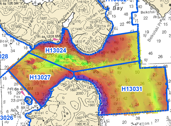
Area surveyed by Fairweather May 30- June 10, 2017.
By ENS Peter Siegenthaler

Following the scheduled winter repair period, Fairweather is kicking off the 2017 field season in Tlevak Strait; the waterway between Dall Island and Prince of Wales Island in Southeast Alaska. This area was last surveyed between 1900 and 1939, and the lead-lines used at the time to determine depths were susceptible to omission of rocks and other features in an area. Using the latest innovations in hydrographic technology, Fairweather will be resurveying these areas with complete coverage multibeam echo sounder bathymetry. This allows Fairweather to identify any rocks or shoal features missed in prior surveys, increasing the safety for local communities, whose economies and livelihoods are dependent on maritime transportation of goods. Continue reading “NOAA Ship Fairweather uses new technology to improve survey efficiency”