NOAA hosts third annual workshop on nautical chart adequacy

Nautical Chart Adequacy Workshop 2017 participants and instructors.

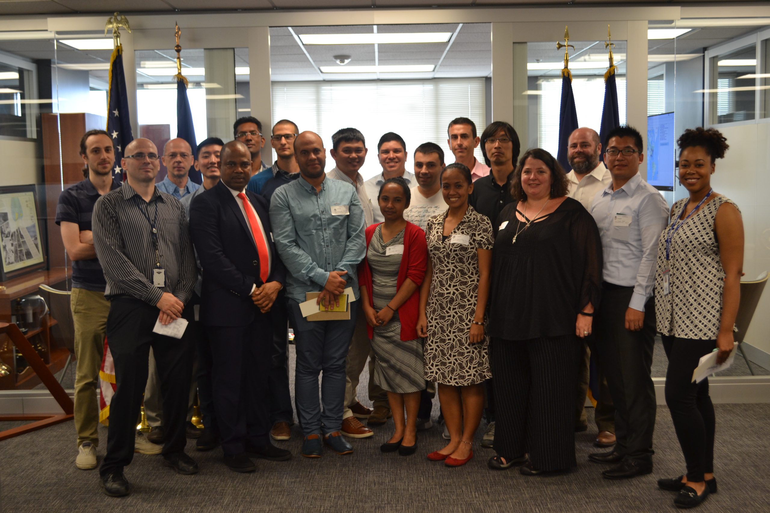
This week, NOAA’s Office of Coast Survey hosted its third annual workshop on nautical chart adequacy. Twelve students participated in the training and learned techniques to evaluate the suitability of nautical chart products using chart quality and publicly available information. This year’s workshop emphasized cartography and the ability to transfer NOAA procedures to the students’ charting products. The workshop provided a theoretical background on:

  • Chart production at NOAA
  • Review of NOAA charted symbols and abbreviations
  • Review of automatic identification systems (AIS) and satellite-derived bathymetry (SDB)
  • Overview of the chart adequacy procedure

Continue reading “NOAA hosts third annual workshop on nautical chart adequacy”

Rear Adm. Shepard M. Smith elected to chair the International Hydrographic Organization Council

RDML Smith (fifth from left) with the Arctic Regional Hydrographic Commission (October 2016, Iqaluit, Canada).

Rear Adm. Shepard M. Smith, director of NOAA’s Office of Coast Survey and the U.S. national representative to the International Hydrographic Organization (IHO), was elected as the chair of the newly established IHO Council.
The council was established in November 2016 as a result of the adoption of amendments to the Convention on the International Hydrographic Organization. It is composed of 30 leading hydrographic nations from the membership of the IHO, and functions much like a corporate board of directors, overseeing performance management and the business side of the IHO. Continue reading “Rear Adm. Shepard M. Smith elected to chair the International Hydrographic Organization Council”

NOAA hosts first open house on nautical cartography

Over 25 posters were displayed along with NOAA current and historical nautical charts, and NOAA Chart Tile Service in NOAA’s Science Center.

NOAA’s Office of Coast Survey hosted the first NOAA open house on nautical cartography on Friday, July 7th. The event featured posters, presentations, and tours focusing on nautical cartography, highlighting the field of charting and GIS. Industry partners such as ESRI, CARIS, Fugro Palegos, Inc., and IIC Technologies, international mapping groups such as Cartography and Geographic Information Society (CaGIS) and General Bathymetric Chart of the Oceans (GEBCO), government agencies such as U.S. Army Corps of Engineers and the Navy, and many international charting offices were in attendance. The open house welcomed a total of 200 visitors, representing 24 countries. Continue reading “NOAA hosts first open house on nautical cartography”

Surveying, rescue drills, and an open house—NOAA Ship Rainier has been busy!

by ENS Michelle Levano

NOAA Ship Rainier continues hydrographic survey operations in Chiniak Bay, near Kodiak, Alaska. As of June 1, 2017, Rainier and her survey launches have surveyed 2,025 nautical miles in the Spruce Island, Long Island, Middle Bay, Kalsin Bay, Isthmus Bay, and offshore Cape Chiniak areas. The total distance surveyed is about as long as the Mississippi River. Continue reading “Surveying, rescue drills, and an open house—NOAA Ship Rainier has been busy!”

NOAA Ship Fairweather uses new technology to improve survey efficiency

Area surveyed by Fairweather May 30- June 10, 2017.
By ENS Peter Siegenthaler

Following the scheduled winter repair period, Fairweather is kicking off the 2017 field season in Tlevak Strait; the waterway between Dall Island and Prince of Wales Island in Southeast Alaska. This area was last surveyed between 1900 and 1939, and the lead-lines used at the time to determine depths were susceptible to omission of rocks and other features in an area. Using the latest innovations in hydrographic technology, Fairweather will be resurveying these areas with complete coverage multibeam echo sounder bathymetry. This allows Fairweather to identify any rocks or shoal features missed in prior surveys, increasing the safety for local communities, whose economies and livelihoods are dependent on maritime transportation of goods. Continue reading “NOAA Ship Fairweather uses new technology to improve survey efficiency”

New commemorative chart marks the Battle of Midway’s 75th anniversary

NOAA’s Office of Coast Survey and Office of National Marine Sanctuaries created a commemorative nautical chart for the Battle of Midway’s 75th anniversary. This nautical chart was first published in 1943, and the commemorative chart includes the original depth soundings surrounding the islands overlaid with historical photos from the battle.
Continue reading “New commemorative chart marks the Battle of Midway’s 75th anniversary”

NOAA clarifies National Charting Plan vision for production of NOAA paper charts and RNCs

Whether navigating an oil tanker, cruise ship, fishing vessel, sailboat, or any craft, the mariner requires a suite of navigation charts that are consistent and easy to use. The public feedback we received to the National Charting Plan regarding the “sunset of paper” charts (p. 26) highlights two navigation products in particular, NOAA paper nautical charts and raster navigational chart (RNC).
Continue reading “NOAA clarifies National Charting Plan vision for production of NOAA paper charts and RNCs”

NOAA announces open house on nautical cartography

NOAA’s Office of Coast Survey is pleased to announce its first one-day open house in conjunction with the International Cartographic Conference (held this year in Washington, DC, at Marriott Wardman Park). This one-day event will focus on nautical cartography, highlighting the field of charting and GIS. It will offer nautical cartography-themed posters, presentations, tours, and exhibits. Participants will include industry partners, government agencies, and charting offices from around the world. This event is open to the public. Continue reading “NOAA announces open house on nautical cartography”

NOAA Ship Rainier surveys the waters around Kodiak Island

by ENS Michelle Levano

Kodiak Island is the 2nd largest island in the United States; it is part of the Kodiak Island Archipelago, a group of islands roughly the size of Connecticut. Due to the island’s location in the Gulf of Alaska and North Pacific Ocean, Kodiak is ranked as third in commercial fishing ports in the U.S. in terms of value of seafood landed. In 2015, the Port of Kodiak was responsible for 514 million pounds of fish and $138 million of product. More than one-third of the jobs in Kodiak are related to the fishing industry.
The Port of Kodiak is home to more than 700 commercial fishing vessels, and has more than 650 boat slips and three commercial piers that can dock vessels up to 1,000 feet. In addition to fishing, Kodiak is the hub of the Gulf of Alaska container logistics system, serving the southwest Alaskan communities with consumer goods and outbound access to the world’s fish markets. Continue reading “NOAA Ship Rainier surveys the waters around Kodiak Island”

Coast Survey hurricane prep starts now

Official hurricane season doesn’t start until June 1, but Coast Survey’s navigation managers are heavily involved throughout April and May in training exercises with the U.S. Coast Guard, ports authorities and NOAA’s National Weather Service.
Why is Coast Survey involved? With our expertise in underwater detection, NOAA navigation response teams and survey ships are often the first ones in the water after a hurricane, looking to make sure that no hidden debris or shoaling poses a danger to navigation. The faster we can advise “all clear” to the Captain of the Port, the faster the U.S. Coast Guard can re-open sea lanes for the resumption of shipping or homeland security and defense operations. So our East Coast and Gulf Coast navigation managers – who are NOAA’s “ambassadors” to the maritime public – engage with response partners during hurricane exercises. Their reports of NOAA survey capabilities and assets are an important factor in testing federal response options. Continue reading “Coast Survey hurricane prep starts now”