NOAA’s Office of Coast Survey is reflecting on a successful and remarkable 2023! We completed many significant activities with meaningful impacts. As we look ahead to more progress in 2024, we are proud to share some highlights of the past year in our Coast Survey Year in Review ArcGIS StoryMap.
Continue reading “A look back at 2023 and the Office of Coast Survey’s significant activities throughout the year”Historical Hydrography on the St. Mary’s River
By Riley O’Connor
In November 1633, the Ark and the Dove set sail from the Isle of Wight—an island off the south coast of England—carrying English and Irish settlers bound for the new colony of Maryland. By January 1634, both vessels arrived at the Island of Barbados and began heading for the colony of Maryland. These settlers sailed into the Chesapeake Bay, the Potomac River, and eventually, the St. Mary’s River. They stopped roughly 12 miles (19 km) northwest from Point Lookout, where the Potomac River enters the Chesapeake Bay. This group of settlers would go on to found Maryland’s first European settlement and future provincial capital, St. Mary’s City.
Continue reading “Historical Hydrography on the St. Mary’s River”Research vessel Bay Hydro II makes history on Mayland’s Elk River
By Lt.j.g. Carly Robbins, junior officer in charge R/V Bay Hydro II
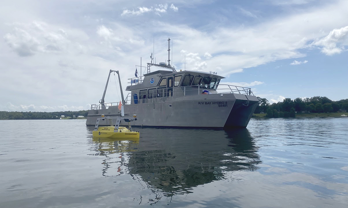
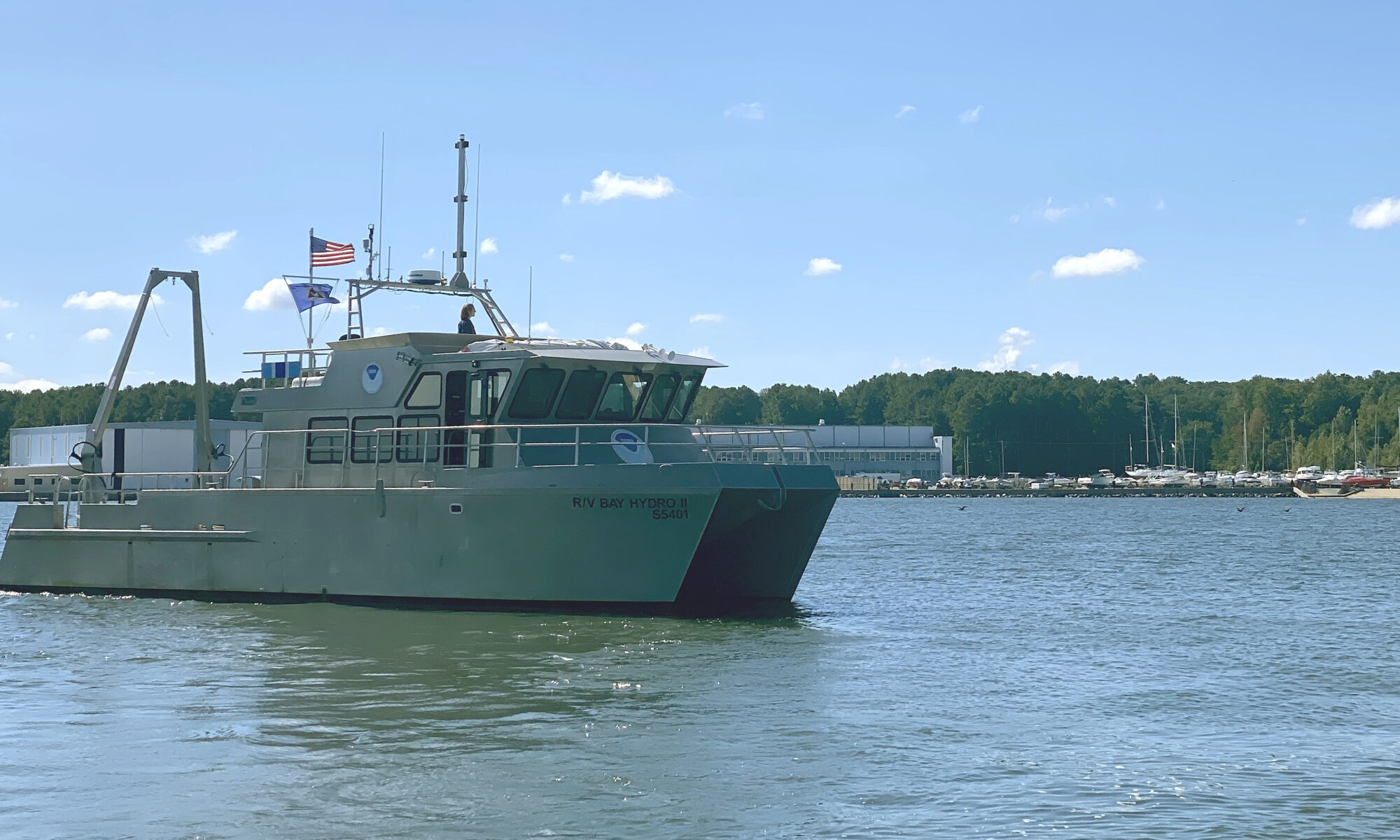
Situated on the east side of the Chesapeake Bay, 162 nautical miles above the Virginia Capes, Elk River is the western approach to the Chesapeake and Delaware Canal. The canal is one of the busiest waterways in the country. It connects the Chesapeake and Delaware Bays, servicing the ports of Baltimore, Wilmington, and Philadelphia. The U.S. Army Corps of Engineers regularly surveys the dredged channels in the approaches and in the canal, but they are not responsible for the remaining waters of the Elk River. The Elk River was last surveyed in the early 1900s, making depths on the nautical chart close to 100 years old! As a result, NOAA R/V Bay Hydro II was tasked to conduct a modern hydrographic survey of Elk River in Spring 2023.
Continue reading “Research vessel Bay Hydro II makes history on Mayland’s Elk River”NOAA completes hydrographic surveys following Hurricane Barry
By Lt. j.g. Michelle Levano
Seven tropical cyclones in the Atlantic Ocean have been named Barry, with the first storm making landfall in 1983. In 2019, Hurricane Barry reached Category 1 status on July 13, becoming the first hurricane of the 2019 season.
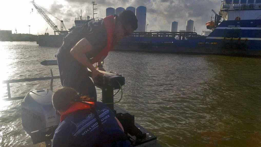
On July 11, Office of Coast Survey’s Gulf Coast Navigation Manager, Tim Osborn, received requests from U.S. Coast Guard, U.S. Army Corps of Engineers, and local ports for resources to confirm navigational depths in Louisiana waters. Once a navigation manager receives requests for hydrographic surveys, Coast Survey formulates logistics to complete these requests. In the case of Hurricane Barry, Coast Survey’s navigation response team (NRT)- Stennis mobilized to respond to Port Fourchon, Louisiana’s southernmost port. Port Fourchon supports significant petroleum industry traffic coming in from the Gulf of Mexico, furnishing about 18% of the U.S. oil supply.
Continue reading “NOAA completes hydrographic surveys following Hurricane Barry”NOAA detects navigation hazards following Hurricane Michael
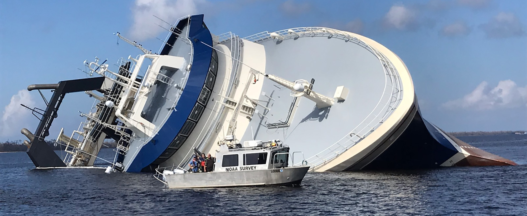
After quickly gaining the strength of a Category 4 storm, Hurricane Michael reached the panhandle of Florida on Wednesday, October 10. With maximum sustained winds of 155 mph and storm surge reaching 15 feet, this storm wiped out coastal communities and closed ports to all traffic in the area. Dangerous winds and storm surge can shift sands and pull large objects beneath the waves, creating hazards to navigation. Before ports can reopen and safely resume vessel traffic, the U.S. Coast Guard must be aware of any underwater dangers so they can either be properly charted or removed. Continue reading “NOAA detects navigation hazards following Hurricane Michael”
NOAA and Coast Guard survey shallow channels in eastern Chesapeake Bay to update aids to navigation
By Lt j.g. Patrick Debroisse
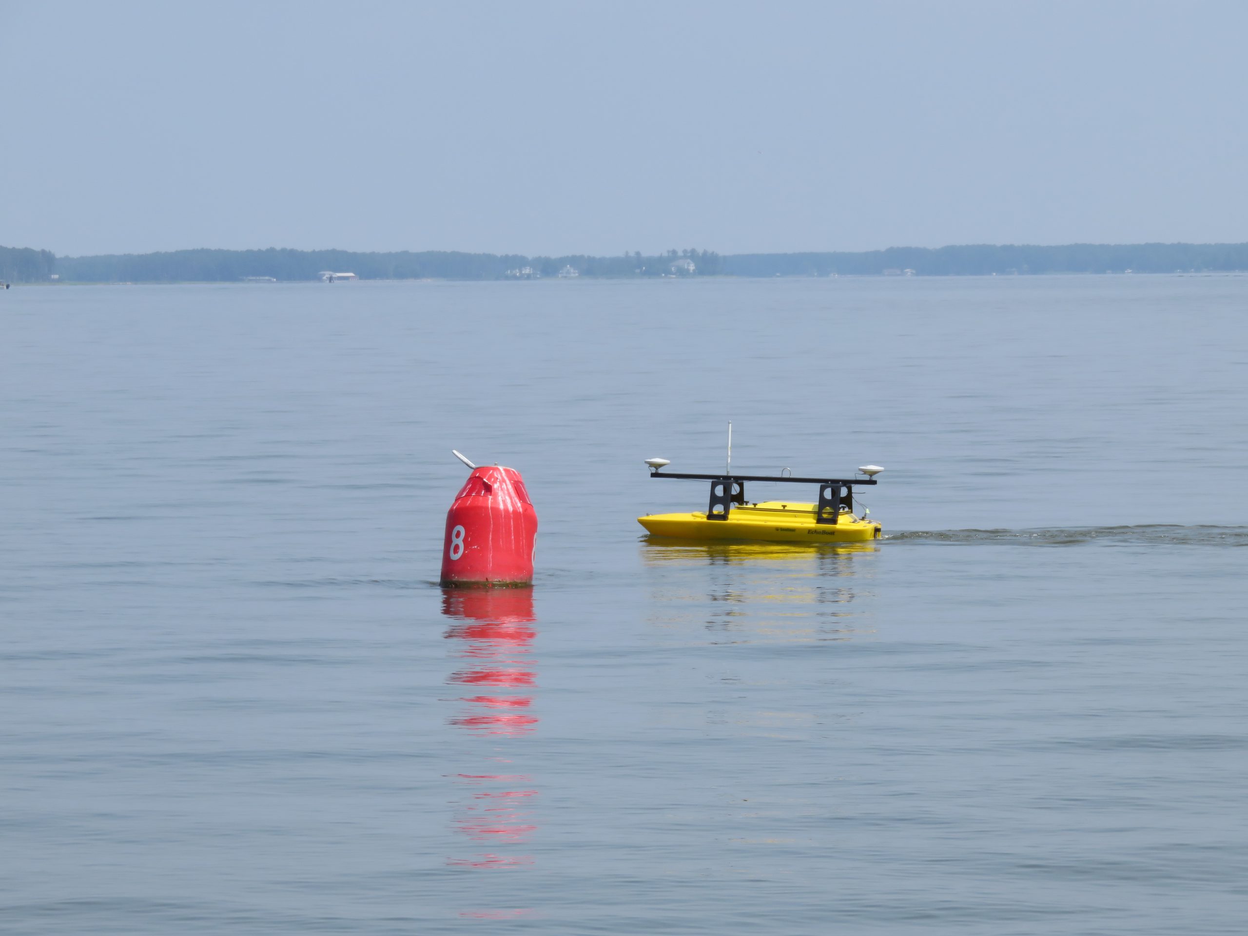
The area of the Chesapeake Bay along the Eastern Shore of Maryland is one of our nation’s treasures. Home to unique underwater grasses, fish, and shellfish, this complex transition from river to sea is also home to millions of tons of sediment delivered annually from eroding land and streams. Recreational boaters, fisherman, and cruising vessels are keenly aware of the shifting sands and sediment deposits in these shallow waters and rely on aids to navigation (ATON) — a system of beacons and buoys — to travel safely to and from the harbors and docks along the shoreline.
Continue reading “NOAA and Coast Guard survey shallow channels in eastern Chesapeake Bay to update aids to navigation”
NOAA Office of Coast Survey wraps up a busy 2017 hurricane season
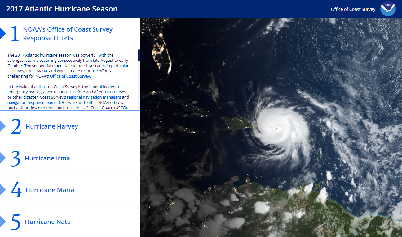
The 2017 Atlantic hurricane season was powerful, with the strongest storms occurring consecutively from late August to early October. The sequential magnitude of four hurricanes in particular—Harvey, Irma, Maria, and Nate—made response efforts challenging for NOAA’s Office of Coast Survey. Coast Survey summarized this season’s response efforts along with the efforts of NOAA Ship Thomas Jefferson (operated by NOAA’s Office of Marine and Aviation Operations) in the following story map. Continue reading “NOAA Office of Coast Survey wraps up a busy 2017 hurricane season”
Coast Survey research vessel helps Coast Guard re-establish normal ship traffic in the Chesapeake
Coast Survey’s research vessel, Bay Hydro II, was diverted from its regular hydrographic mission this week to help the U.S. Coast Guard determine if there was a new danger to navigation in the Chesapeake Bay.
On June 13, 2016, U.S. Coast Guard Sector Hampton Roads was notified that the barge WEEKS 179 lost a large portion of its cargo near the Virginia-Maryland line, in a charted traffic scheme area that takes ships around Smith Point in the Chesapeake Bay. The WEEKS 179, carrying construction materials to New Jersey, lost approximately 25 concrete beams and bridge deck pieces, ranging from 10 ft. to 15 ft. long. While the Coast Guard diverted ship traffic around the area, Bay Hydro II deployed to the site, to establish the cargo’s exact position and determine if it posed a hazard to navigation.
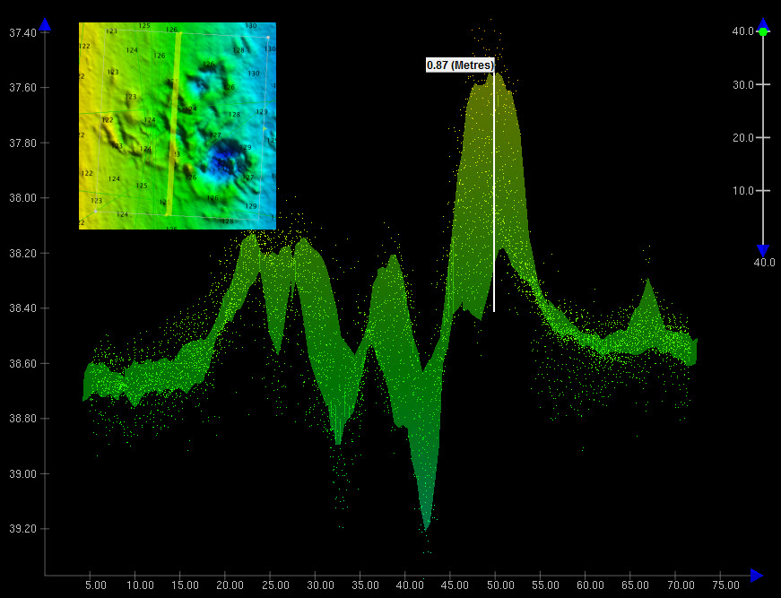
By early the next morning, Bay Hydro II was conducting the search. The survey technicians used side scan sonar to locate the sunken cargo, and then followed it up with their multibeam echo sounder to collect bathymetric data over the field of debris. (While the side scan sonar is typically a better search tool for locating objects in large areas, the multibeam is best for obtaining precise position and depths over the items so the hydrographers can determine if dangers to navigation exist.)
Continue reading “Coast Survey research vessel helps Coast Guard re-establish normal ship traffic in the Chesapeake”
NOAA R/V Bay Hydro II has a ball meeting the public in Baltimore!
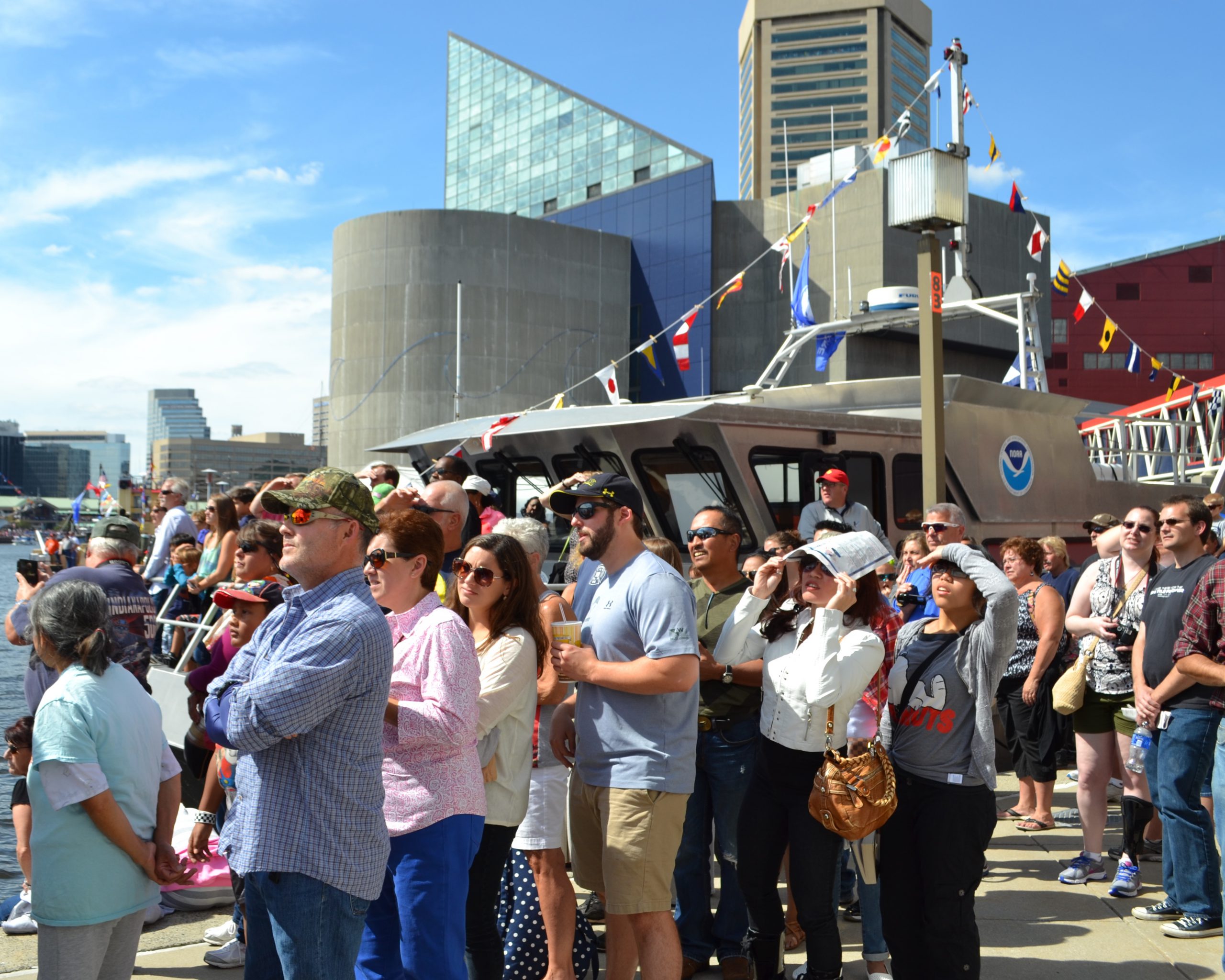
Last week we blogged about Coast Survey’s research vessel Bay Hydro II, a small hydro research vessel that delivers big results. The vessel was heading into Baltimore Harbor for five days of public tours at Star Spangled Spectacular.
The Bay Hydro II crew and headquarters personnel had a great time with everyone — from the kids who learned about charts from an admiral, to the map geeks who enjoyed a discussion down in the hydro weeds. More than 4,000 people toured the Bay Hydro II during the celebration, and we hope they all learned at least a little about hydrographic surveying and nautical charts.
Continue reading “NOAA R/V Bay Hydro II has a ball meeting the public in Baltimore!”
A small hydro research vessel delivers big results
by Dawn Forsythe, Coast Survey communications
Remember when your mom told you, “The best things come in small packages”? It turns out that is true for more than diamonds, puppies, and kids who think they are too short.
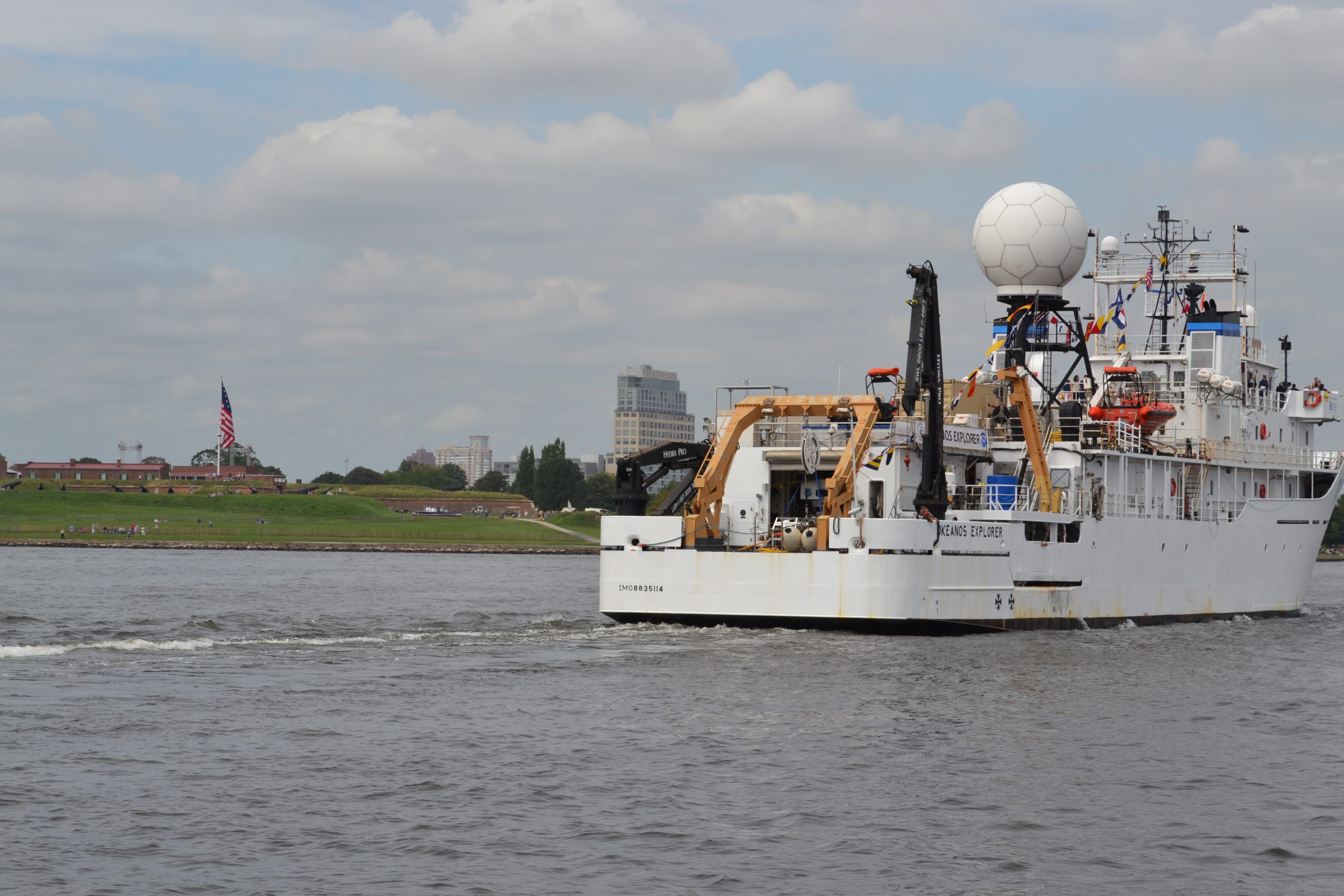
Today it was my privilege to ride with the 57-foot Bay Hydro II, one of NOAA’s smallest research vessels, as she came into Baltimore Harbor for the Star Spangled Spectacular, a festival that celebrates the 200th anniversary of our National Anthem. As we sailed alongside the impressive NOAA Ship Okeanos Explorer, past historic Fort McHenry, a 19th century cannon boomed ‒ probably sounding much as it did 200 years ago during the War of 1812, when the British attack was turned back at Baltimore. With that historic reminder, I was struck by how the Bay Hydro II represents Coast Survey’s two-century commitment to the Chesapeake Bay, starting with our surveys in 1843.
Continue reading “A small hydro research vessel delivers big results”

