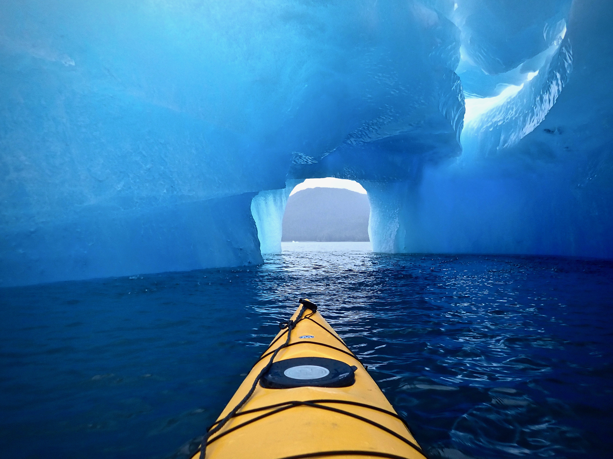
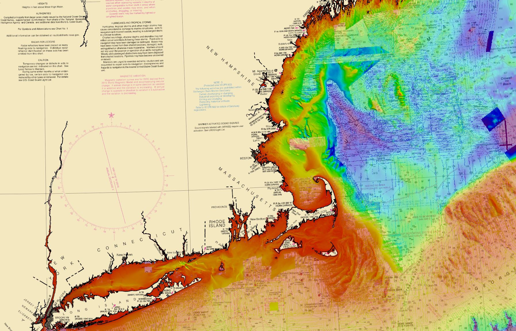
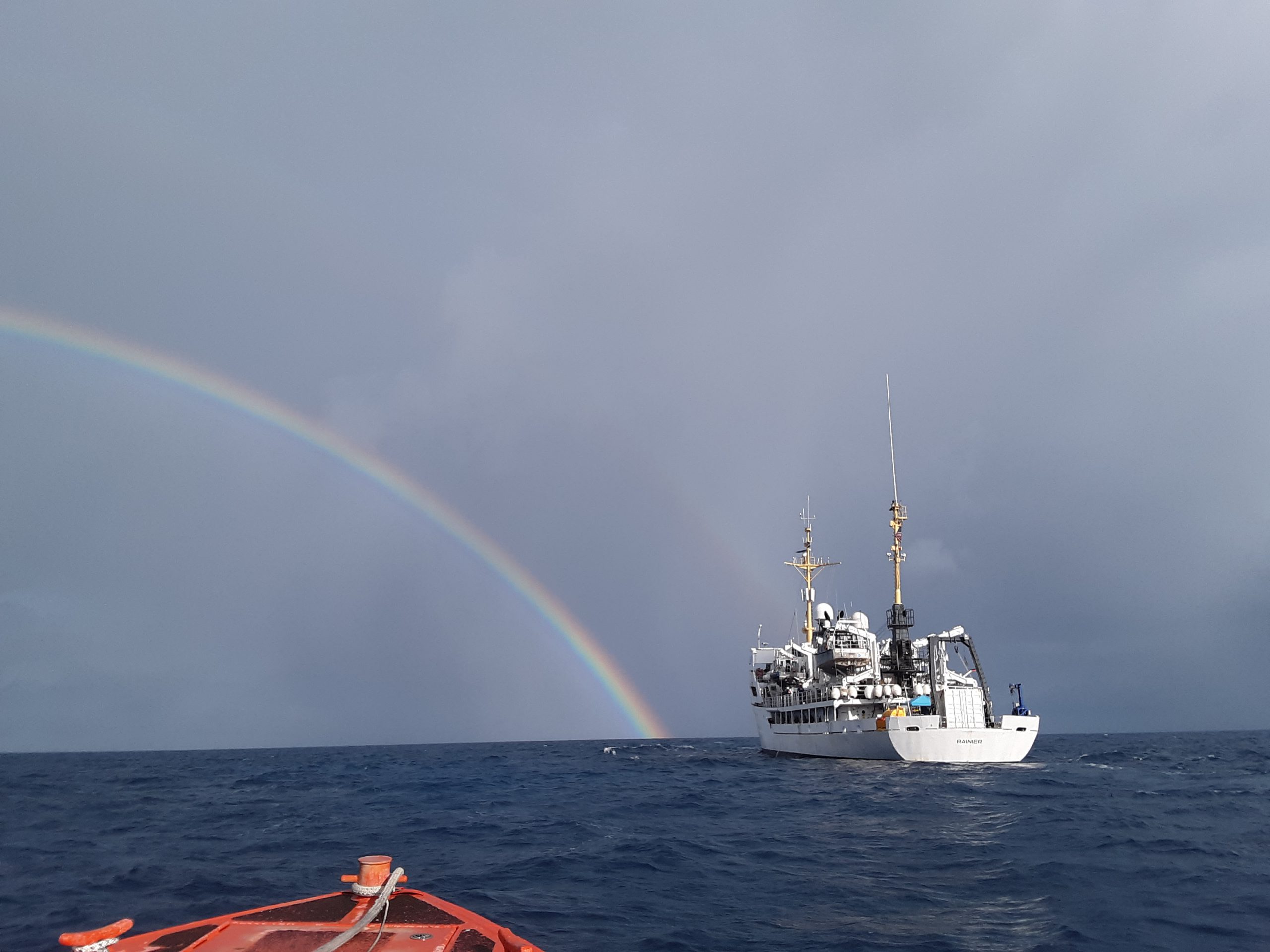
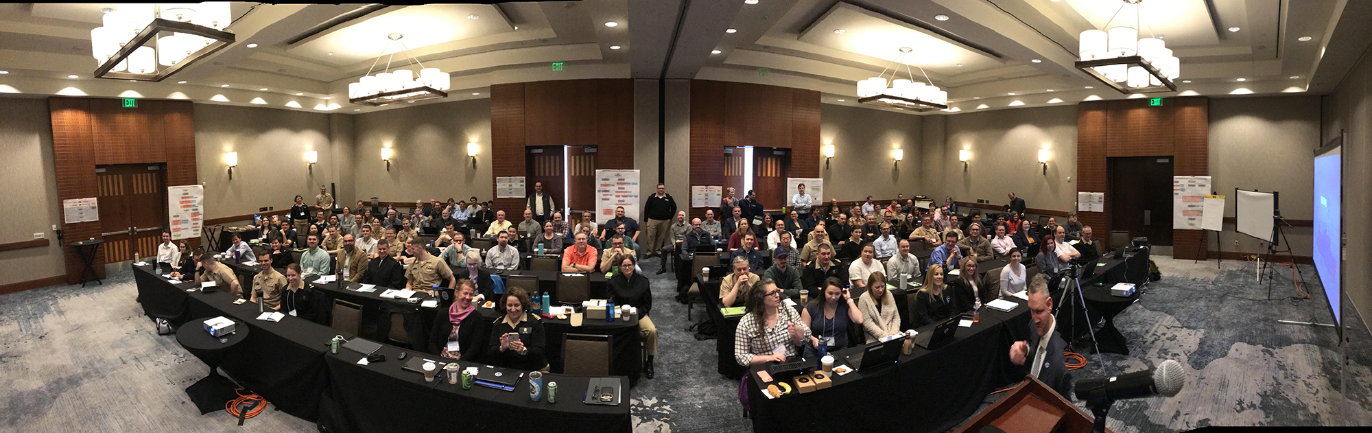
The field of hydrography, like most sciences, is comprised of experts honing their craft, improving their tools, building upon the successes of previous years, and learning from their mistakes. Hydrographers typically accomplish this iterative process in the field, publishing papers, presenting at industry conferences, and often through discussions over the phone or via email. However, once a year, the NOAA hydrographic community — those who measure and describe the features of the seafloor to update nautical charts and support a variety of sciences — meets at the Field Procedures Workshop to not only share information, but have frank discussions about their challenges and the path forward in preparation for the upcoming hydrographic field season.
Continue reading “NOAA hydrographic community prepares for field season at annual workshop”NOAA releases 2020 hydrographic survey season plans
NOAA hydrographic survey ships and contractors are preparing for the 2020 hydrographic survey season. The ships collect bathymetric data (i.e. map the seafloor) to support nautical charting, modeling, and research, but also collect other environmental data to support a variety of ecosystem sciences. NOAA considers hydrographic survey requests from stakeholders such as marine pilots, local port authorities, the Coast Guard, and the boating community, and also consider other hydrographic and NOAA science priorities in determining where to survey and when. Visit our “living” story map to find out more about our mapping projects and if a hydrographic vessel will be in your area this year!
Continue reading “NOAA releases 2020 hydrographic survey season plans”NOAA in the Great Lakes supports inter-agency search for WWII aircraft
Did you know that there are about 120 World War II era aircraft lying at the bottom of Lake Michigan? The Navy used these aircraft to train and certify pilots to take off and land from aircraft carriers during World War II. U.S. Naval operations along Lake Michigan, one of the Great Lakes, began in 1923. Between 1923 and 1942, operations expanded as the Navy built hangars, airfields, and landing strips across the village of Glenview, Illinois. By 1942, the Navy had a robust presence on the shores of Lake Michigan. With the U.S. entrance into World War II, the Navy needed a location to train carrier pilots. The growing threat of enemy vessels and mines along the Pacific and Atlantic coastlines and an already strong Naval presence in the area made Lake Michigan the safest location for carrier training.
Continue reading “NOAA in the Great Lakes supports inter-agency search for WWII aircraft”Change of command for NOAA Ship Rainier
On November 15, 2019, the crew of NOAA Ship Rainier hosted a change of command in Valejo, California. Cmdr. Sam Greenaway accepted command of Rainier, relieving Capt. Ben Evans in a ceremony led by Capt. Michael Hopkins, commanding officer of NOAA’s Office of Marine and Aviation Operations (OMAO) Marine Operations Center-Pacific.
Continue reading “Change of command for NOAA Ship Rainier”One year later – Coast Survey’s response to the Anchorage earthquake
By Lt. Cmdr. Bart Buesseler
At 8:29, on the morning of Friday, November 30, 2018, a magnitude 7.1 earthquake shook Anchorage, Alaska, for thirty stressful seconds. It was the largest earthquake in Anchorage since the Good Friday Quake of 1964, and brought Alaska’s most populated city to a standstill as residents evacuated buildings and came to terms with what they had just experienced.
Continue reading “One year later – Coast Survey’s response to the Anchorage earthquake”NOAA Ship Rainier returns to survey the Hawaiian coast, provides update on lava flow development
By Ens. Harper Umfress
NOAA Ship Rainier’s four-decade tropical sonar silence is over and Hawaiian hydrography is back! The 2019 field season was productive, challenging, and geographically diverse. After starting the season with traditional hydrographic surveys in Alaska, Rainier was re-tasked to support science diving operations in the Papahānaumokuākea Marine National Monument that surrounds the Northwestern Hawaiian Islands. Though the primary purpose of this dispatch was to support coral reef research, the world’s most productive coastal hydrographic survey platform would have been remiss to forego this opportunity to ping new waters.
Continue reading “NOAA Ship Rainier returns to survey the Hawaiian coast, provides update on lava flow development”NOAA Ship Thomas Jefferson tests innovative DriX unmanned surface vehicle
By Ens. Taylor Krabiel
During the month of October, NOAA Ship Thomas Jefferson integrated and operated a DriX, an Unmanned Surface Vessel (USV) created by the French technology company iXblue. The primary goal of the project was to test iXblue’s unique deployment and recovery solution specifically designed for Thomas Jefferson’s on board survey launch davit. Survey launches are limited to daylight operations and deployment and recovery are the most challenging operations the ship undertakes. Utilizing a DriX for continuous survey operations without having to recover and/or service it for up to four days straight would significantly increase the ship’s efficiency.
Continue reading “NOAA Ship Thomas Jefferson tests innovative DriX unmanned surface vehicle”NOAA responds to bridge damage near Houston following Tropical Depression Imelda
While many are aware that hurricanes can inflict costly damage when they make landfall, tropical storms and depressions are not to be underestimated. Tropical Depression Imelda moved over the Texas coast in mid-September producing heavy rain and causing extensive flooding. Nine barges broke free from their mooring on the San Jacinto River and two of these barges hit the Interstate 10 bridge in Lynchburg, Texas. At the request of the U.S. Coast Guard Captain of the Port Houston-Galveston, NOAA’s Navigation Response Team (NRT)- Stennis was called in for rapid hydrographic survey response.
Continue reading “NOAA responds to bridge damage near Houston following Tropical Depression Imelda”NOAA Ship Nancy Foster performs full-coverage mapping survey of Northern Blake Plateau
By Julia Wallace and Lt. j.g. Michelle Levano
NOAA Ship Nancy Foster conducted survey operations offshore of coastal South Carolina from August 12-30, 2019, as a joint effort between NOAA’s Office of Coast Survey and Office of Ocean Exploration and Research. This survey encompassed portions of the Blake Plateau, and was particularly special because this region has never been mapped using contemporary sonar systems. The project served Coast Survey’s mission of providing contemporary data to update nautical charting products and supported the U.S. contribution to Seabed 2030, a multi-national initiative to map the world ocean by 2030. NOAA’s contribution to this project includes providing continuous multibeam survey coverage within the U.S. Exclusive Economic Zone.
Continue reading “NOAA Ship Nancy Foster performs full-coverage mapping survey of Northern Blake Plateau”NOAA supports safe ferry transit in Puget Sound
By Lt. j.g. Michelle Levano
If you have spent time on the water in Puget Sound, you have probably seen the large, distinct green and white vessels. These vessels move passengers, vehicles, and cargo across Puget Sound to the San Juan Islands and to Victoria, Canada, year round. They are a part of the Washington State Department of Transportation ferry system. The state has been operating ferries since 1951, and intended to run the ferry service until cross Sound bridges could be built. These bridges were never built, and the state continues to operate the ferries to this day. As of last July, there are 22 state-operated ferries on Puget Sound, with the largest vessel able to carry 2500 passengers and 202 vehicles.
Continue reading “NOAA supports safe ferry transit in Puget Sound”