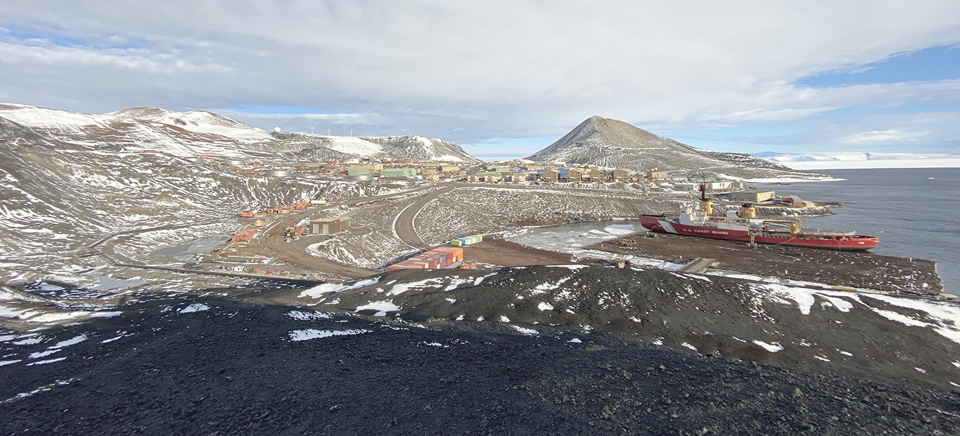
Alaska’s Kuskokwim River is both unpredictable and essential. Shifting sandbars, variable tides, and seasonal ice dramatically reshape the waterway, requiring frequent updates to the navigational channel. It remains a lifeline for communities like Bethel, Alaska. NOAA’s Coast Pilot describes the waterway as a “maze of shifting sandbars…and blind channels” with navigation conditions that can change daily.
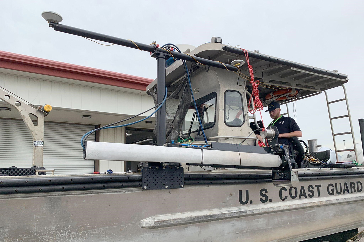
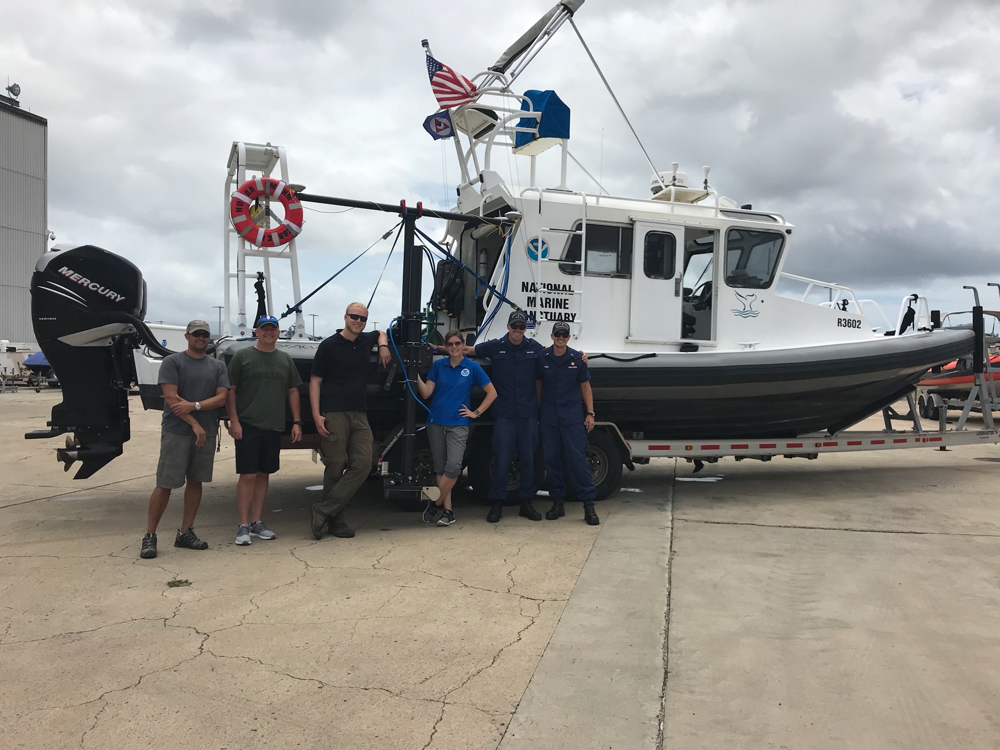
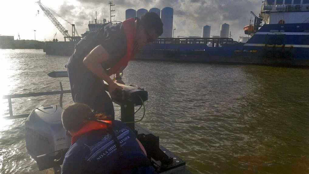
Currently, the U.S. Coast Guard maintains over 50 aids to navigation, or ATONs, along the river to guide vessels. Mariners use these ATONs to travel safely through the channels. The Coast Guard Cutter Aspen requested support from NOAA to provide updated bathymetric data to help them to validate and adjust ATONs–a mission critical function to ensure safe navigation for vessels traversing one of the state’s most dynamic and economically vital waterways.
Continue reading “Surveying the Kuskokwim River, Alaska’s Most Dynamic Waterway”