Ever wonder what it’s like to be a member of the NOAA Coast Survey team? We use the Coast Survey spotlight blog series as a way to periodically share the experiences of Coast Survey employees as they discuss their work, background, and advice.
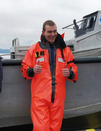
Lt. Bart Buesseler, navigation manager
Continue reading “Coast Survey spotlight: Meet Lt. Bart Buesseler”“It is extremely rewarding to interact with our users and see how important our products are to their livelihoods. I’ve always known our work was “important”, but to actually get that feedback on a daily basis from the users motivates me to come to work every day.”