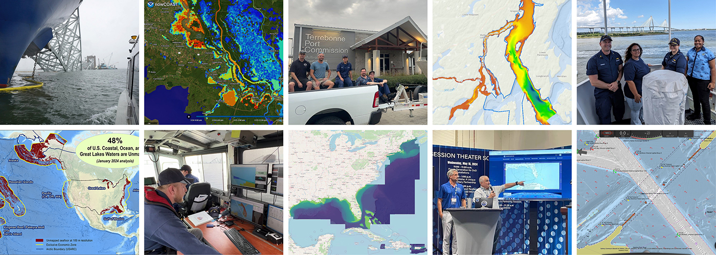
As we look ahead to continued progress in 2025, NOAA’s Office of Coast Survey is proud to share some highlights of the past year with you. We mounted successful emergency responses to reopen ports quickly and safely after hurricanes and a bridge collapse; completed a five-year process to transition to fully electronic navigational chart production; provided hands-on learning experiences for students aboard NOAA Ship Nancy Foster; and much more, all in service of delivering authoritative ocean and lakebed mapping information as the nation’s chartmaker.
Continue reading “Office of Coast Survey 2024 Year in Review”Data dissemination web interface supports navigation
Imagine navigating a vessel along the coast and planning the approach to your destination, whether that be a local marina or large vessel berth in a harbor. What factors affecting the movement of the vessel should you be aware of once underway and in transit through the entrance and into the port? These may include observations on the present and forecasted weather, water current speed and direction, water depths and tidal direction, and any anomalies or warnings that may exist. Knowing what these factors are will assist you in preparing your vessel for safe passage to the destination.
Continue reading “Data dissemination web interface supports navigation”
A look back at 2023 and the Office of Coast Survey’s significant activities throughout the year
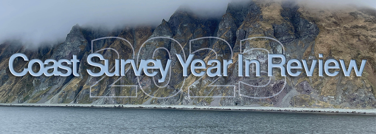
NOAA’s Office of Coast Survey is reflecting on a successful and remarkable 2023! We completed many significant activities with meaningful impacts. As we look ahead to more progress in 2024, we are proud to share some highlights of the past year in our Coast Survey Year in Review ArcGIS StoryMap.
Continue reading “A look back at 2023 and the Office of Coast Survey’s significant activities throughout the year”Model Upgrade: Global Extratropical Surge and Tide Operational Forecast System Upgraded to Version Two
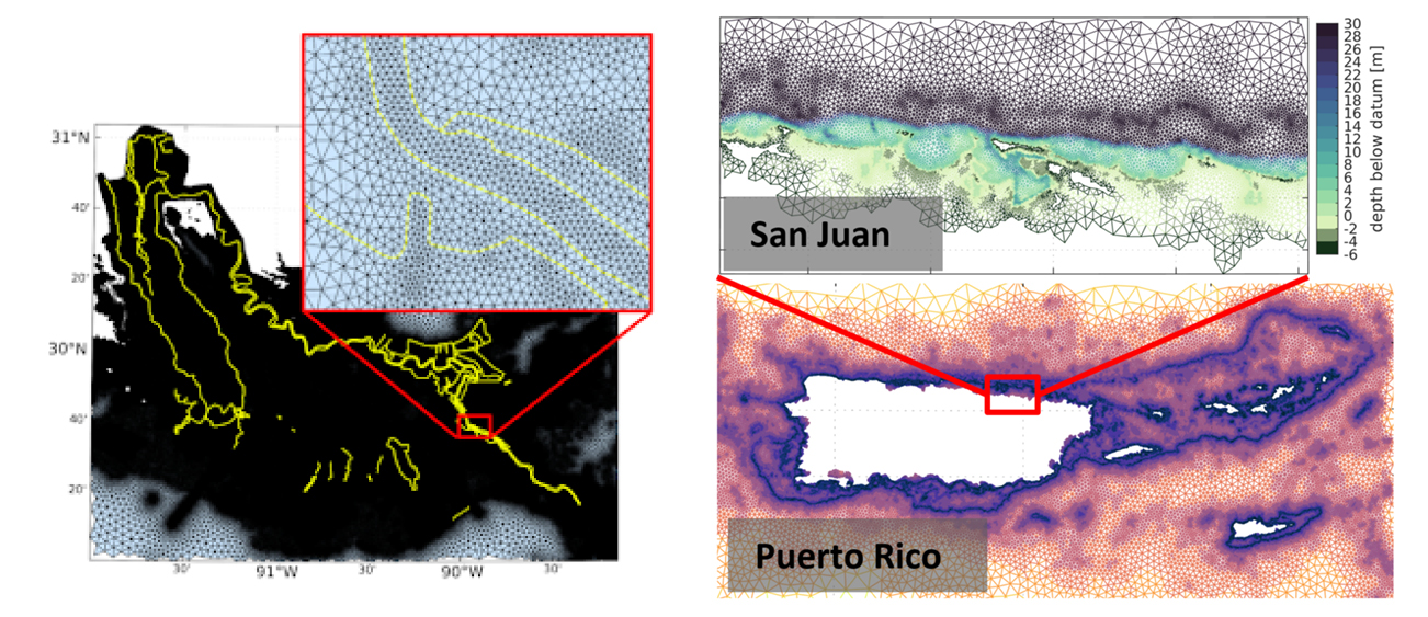
In late July 2021, the Global Extratropical Surge and Tide Operational Forecast System (Global ESTOFS) upgrade to version two was implemented into operations on the National Weather Service’s (NWS) Weather and Climate Operational Supercomputing System (WCOSS). The modeling system provides forecast guidance for combined water levels caused by storm surge and tides globally, and is to our knowledge the highest resolution global operational storm surge modeling system available today. The forecast guidance from the model is used by forecasters at NWS Weather Forecast Offices (WFO) and the Ocean Prediction Center to generate their storm surge and flood forecasts during storms, including Nor’easters along the U.S. East Coast.
Continue reading “Model Upgrade: Global Extratropical Surge and Tide Operational Forecast System Upgraded to Version Two”By the Numbers: Coast Survey’s 2020 Atlantic Hurricane Season
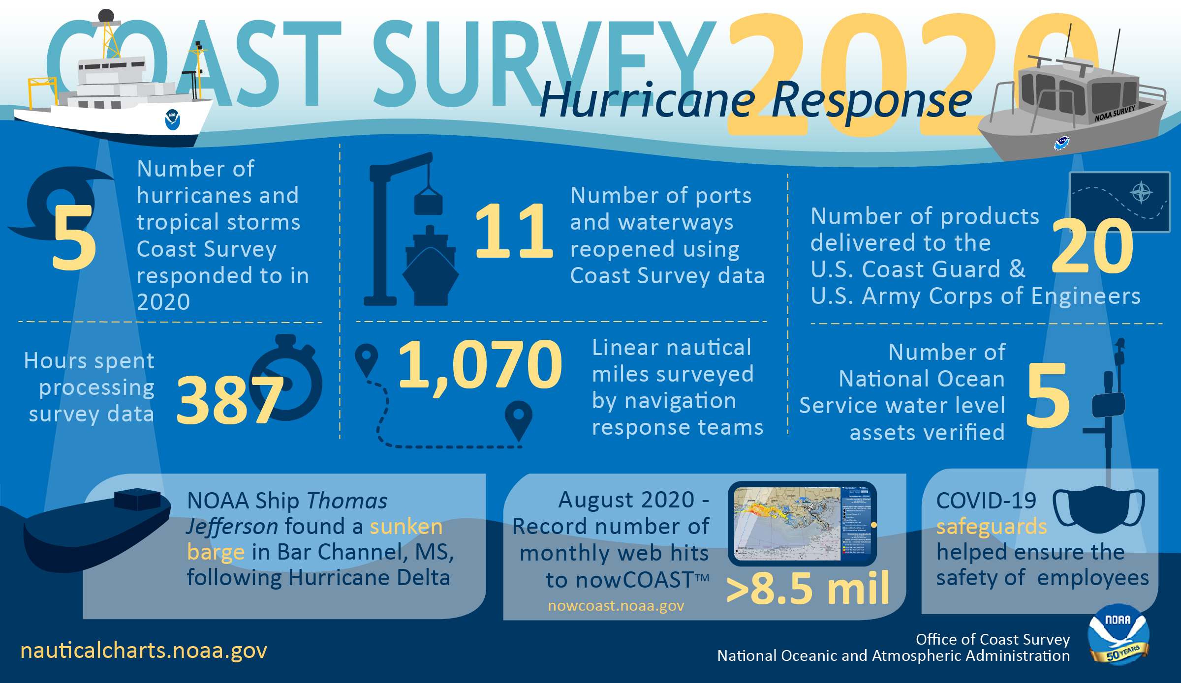
As the 2020 Atlantic hurricane season came to a close on November 30, NOAA’s Office of Coast Survey tallied a few numbers to see what the combined response effort of the navigation response teams, NOAA Ship Thomas Jefferson, and hydrographic survey contractor David Evans & Associates, Inc., looked like.
Continue reading “By the Numbers: Coast Survey’s 2020 Atlantic Hurricane Season”Register for NOAA Nav-cast webinar: NOAA’s nowCOAST
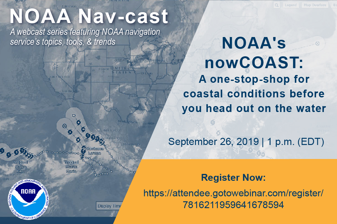
UPDATE: The Nav-cast scheduled for 9/26 at 1 p.m. (EDT) is cancelled and will be rescheduled at a later date. We apologize for the inconvenience.
Join us for our next NOAA Nav-cast, a quarterly webinar series that highlights the tools and trends of NOAA navigation services.
NOAA’s nowCOAST: A one-stop-shop for coastal conditions before you head out on the water
NOAA’s nowCOAST (nowcoast.noaa.gov) — a free online interactive map viewer —provides situational awareness on present and future weather and oceanographic conditions for mariners and other coastal users by integrating data from across NOAA and regional observing systems. Users can assess present conditions by creating maps of the latest in-situ weather/marine weather observations, weather radar mosaics, cloud images from GOES weather satellites, and surface wind and sea-surface temperature analyses for the last few hours. Users can also obtain maps of critical weather/marine weather advisories, watches, and warnings, weather forecasts, tropical cyclone track and intensity forecasts, and forecast guidance of water levels, water temperature, salinity, and currents from NOAA oceanographic forecast models. Users can display these maps using the nowCOAST map viewer or by connecting to its map services. nowCOAST operates in a high-availability hosting facility and is monitored 24 x 7.
Continue reading “Register for NOAA Nav-cast webinar: NOAA’s nowCOAST”nowCOAST® offers new Gulf of Maine, Chesapeake Bay forecast services
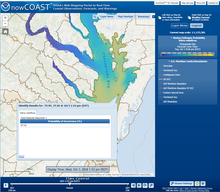
NOAA’s nowCOAST®, a GIS-based online web mapping service that provides frequently updated weather and ocean observations, analyses, imagery, and ocean model forecast guidance, along with weather watches and warnings and forecasts, now provides maps of oceanographic forecast guidance from the National Ocean Service (NOS) 3-D operational forecast modeling system for the Gulf of Maine (GoMOFS) and NOS forecast guidance of the marine pathogen, Vibrio Vulnificus (Vv), for the Chesapeake Bay via two new map services and map viewer. Continue reading “nowCOAST® offers new Gulf of Maine, Chesapeake Bay forecast services”

