By Ensign Max P. Andersen
Formed by retreating ice sheets over 14,000 years ago, the Great Lakes have long represented one of the most valuable fresh water resources in North America. They contain more than one-fifth of the world’s supply of fresh surface water, and the vast size is easily visible from space. From Native American hunting routes to French fur-trade exploration to influential battles in the War of 1812, the Lakes have proved a key platform for numerous historical events that shaped the development of the country.
Uniquely, these bodies of water served as the gateway to connect the booming production of an expanding population in the Midwest from 1825 to 1925. During this time, a broad range of wooden, sailing, and steam-powered ships trekked across the lakes, carrying coal, grain, and passengers. Due to unpredictable weather conditions, fire, ice, high-traffic areas, and an ever-increasing pressure to meet shipping quotas, hundreds of ships were lost in collisions and accidents. These incidents have earned this period the nickname “Shipwreck Century.” Today, the history of the “Shipwreck Century” is presented at Thunder Bay National Marine Sanctuary’s visitor’s center, the Great Lakes Maritime Heritage Center, in Alpena, Michigan.
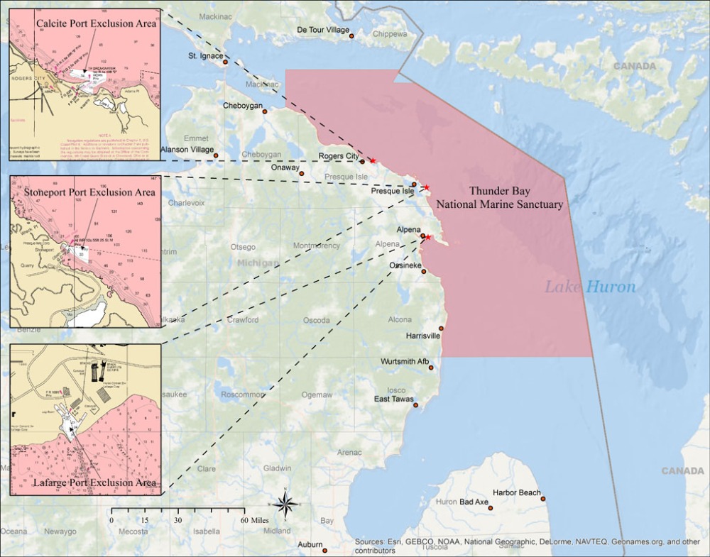
Thunder Bay is located in Lake Huron, near one of the most historically dangerous areas of navigation in the Great Lakes. The sanctuary covers 4,300 square miles. In this area, over 200 shipwrecks are known to exist, and 92 have been discovered and accurately charted. The staff provides continual archaeological monitoring to ensure the preservation of the sites.

Much of this archaeological work is completed aboard research vessel (RV) Storm. Storm is operated by the NOAA Great Lakes Environmental Research Laboratory (GLERL) and is dedicated to supporting Thunder Bay National Marine Sanctuary. Storm is suited for a diverse range of projects and is equipped with multibeam and side scan sonar for survey projects, compact crane for using remotely operated underwater vehicles, and drop-down transom for handling diving equipment. Additionally, her use of B100 fuel – engine and hydraulic oil manufactured from vegetable oils – and redesign with recycled materials qualify her as one of NOAA’s “green ships.”

Traditionally, the survey systems on Storm have been primarily used to provide accurate locations and high-resolution acoustic imagery of shipwrecks. Using these positions and contextual images, teams of Thunder Bay NMS archaeologists can complete dives to see the submerged cultural resources that lie beneath the surface. They share that information with the public at the Great Lakes Maritime Heritage Center.

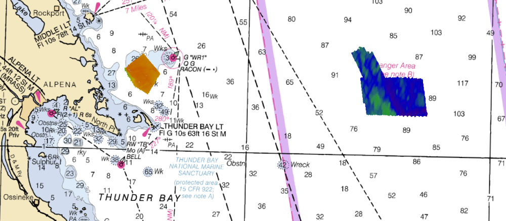
With recent increases in multibeam and side scan sonar proficiencies, the sanctuary has started a new collaboration with the Office of Coast Survey. This summer, Coast Survey physical scientist Tyanne Faulkes and Ensign Max Andersen assisted Capt. Travis Smith and maritime archaeologists John Bright and Phil Hartmeyer in a new project. The team was tasked with surveying two unique sites: an Air Force and Air National Guard live-fire testing range, and a high-traffic area that needed updated navigational charts. The teams used RV Storm as a “vessel of opportunity” (a vessel not normally used for charting surveys) to conduct surveys to charting specifications. As such, some of Storm’s survey equipment needed to be “tuned” to meet those stringent hydrographic requirements. After some trial and error, Storm’s Applanix POSMV, Reson 8101, Klein 3000, Castaway CTD, Hypack 2016 machine were operational and ready for data acquisition.

The survey operations were a tremendous success. Throughout the month of August, Storm completed a series of acquisition voyages – as weather permitted – including a 36-hour operation on August 17 and 18. They acquired charting data covering 28 square nautical miles, along 418 linear nautical miles.
Projects like this show the great gains for the scientific community when different partners collaborate. We are looking forward to using more vessels of opportunity to expand on nautical chart updates in the Great Lakes region.


News and Updates

Gee Whiz, summer boating on the Great Lakes plus you get paid for it! Sometimes I miss the “good ol’ days” of running endless miles of hydro. Science is fun.