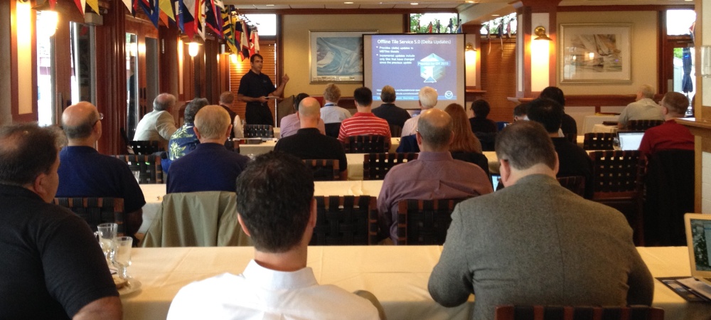
At the first NOAA Navigation Industry Day, held October 10 in conjunction with the Annapolis Boat Show, over two dozen of the world’s top maritime app and navigation system developers met with NOAA experts to learn more about the vast amounts of NOAA data that is available for free access and use.

The morning session consisted of program leaders who explained how NOAA data could add functionality to navigation systems and maritime apps. They demonstrated data sets and new formats that are not yet in widespread use, and solicited feedback on ways we can improve our products and services, particularly in distribution formats and protocols.
The afternoon was reserved for individual consultations with all of the experts.
While some (okay, a lot) of the discussions are technical, a quick rundown of the presentations gives a hint of some of the great potential for feeding more NOAA data into commercial navigation products…
THE AGENDA FOR NOAA NAVIGATION INDUSTRY DAY
NOAA CHARTS are available for free, in both raster (BSB) and vector (ENC) formats. Presenting the latest updates on metadata, XML chart catalog, and chart-based web services.
CHART TILE SERVICE: In response to the rapid change of web and mobile technology, NOAA will release its entire suite of nautical charts in pre-quilted tile sets for online use. They will also be available in regional geo-packages for use in disconnected applications. Like all NOAA charts, the tile sets will be updated with new information every week.
VALUE-ADDED CHART DISTRIBUTORS: With dynamic streams of NOAA data in a digital/mobile world, NOAA’s traditional re-distributor agreements need a second look. During this segment, NOAA asks for industry perspective on requirements for entering into navigation data delivery agreements.
HIGH RESOLUTION SEAFLOOR DATA: State-of-the-art surveys collect a wealth of detail that cannot be displayed on traditional charts. NOAA surveys produce high-resolution bathymetry models, in many cases at 1m resolution or finer. Many surveys also produce high-resolution backscatter maps and databases of seafloor features like rocks, wrecks, and obstructions. All of this data is freely available.
SEA SURFACE TEMPERATURE: NOAA satellites measure sea surface temperature in large ocean areas. Learn how to acquire data that can be used for a variety of activities, i.e., locating the Gulf Stream for efficient passage planning, or finding likely fishing spots for the boating community.
TIDES AND CURRENTS: Many applications use NOAA’s tide and current predictions and observations at specific stations. Discussion on how to get the latest observations and the harmonic constituents for tides and currents predictions.
HYDRODYNAMIC MODELS: NOAA makes continuous models of tides and currents in all coastal areas, updating three-day predictions every six hours. The presentation explains how NOAA is developing new methods of distributing these models for public use.
NOAA WEATHER DATA (observations, models, radar, and forecasts) is as critical for safety on the water as on land. National Weather Service experts describe available data and how to access it.
COASTAL HF RADAR: NOAA and partners maintain a network of current-measuring radars along many parts of the U.S. coastline. A NOAA oceanographer explains more about the system and available data.
BUOY DATA: NOAA’s network of buoys along U.S. coasts measure wind speed, wave height, and more. NOAA experts describe the system and explain how to access the data.
DATA VISUALIZATION: NOAA partners with the University of New Hampshire to develop “next generation” tools for collecting, processing, and visualizing ocean data. Experts will demonstrate some of those tools. (UNH also welcomes partnerships with private industry to bring new technology into widespread use.)
