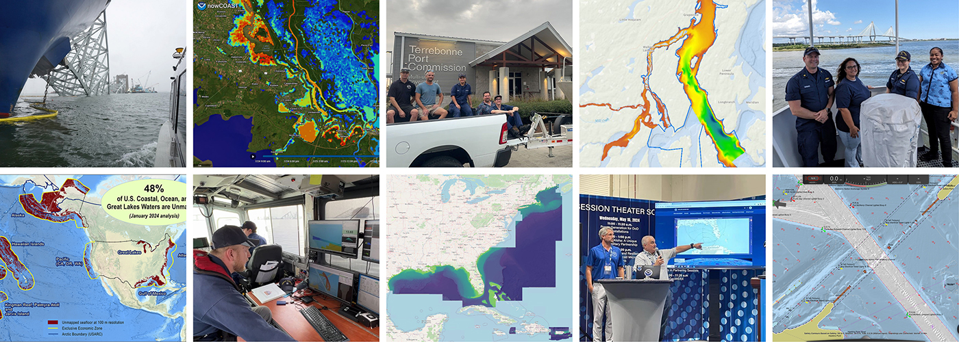
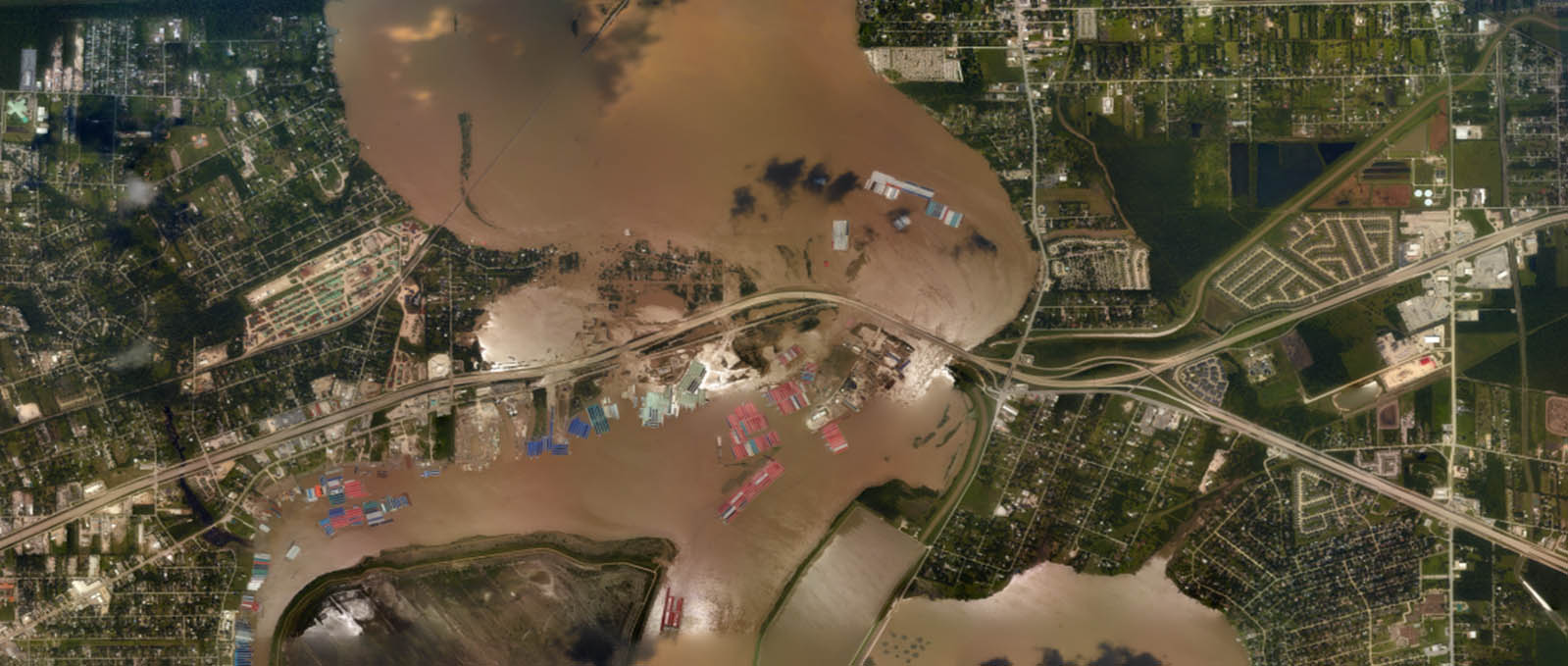
As we look ahead to continued progress in 2025, NOAA’s Office of Coast Survey is proud to share some highlights of the past year with you. We mounted successful emergency responses to reopen ports quickly and safely after hurricanes and a bridge collapse; completed a five-year process to transition to fully electronic navigational chart production; provided hands-on learning experiences for students aboard NOAA Ship Nancy Foster; and much more, all in service of delivering authoritative ocean and lakebed mapping information as the nation’s chartmaker.
Continue reading “Office of Coast Survey 2024 Year in Review”A look back at 2023 and the Office of Coast Survey’s significant activities throughout the year
NOAA’s Office of Coast Survey is reflecting on a successful and remarkable 2023! We completed many significant activities with meaningful impacts. As we look ahead to more progress in 2024, we are proud to share some highlights of the past year in our Coast Survey Year in Review ArcGIS StoryMap.
Continue reading “A look back at 2023 and the Office of Coast Survey’s significant activities throughout the year”Historical Hydrography on the St. Mary’s River
By Riley O’Connor
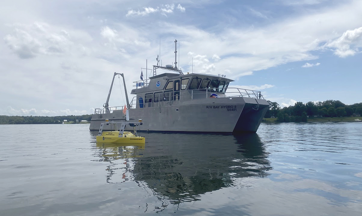
In November 1633, the Ark and the Dove set sail from the Isle of Wight—an island off the south coast of England—carrying English and Irish settlers bound for the new colony of Maryland. By January 1634, both vessels arrived at the Island of Barbados and began heading for the colony of Maryland. These settlers sailed into the Chesapeake Bay, the Potomac River, and eventually, the St. Mary’s River. They stopped roughly 12 miles (19 km) northwest from Point Lookout, where the Potomac River enters the Chesapeake Bay. This group of settlers would go on to found Maryland’s first European settlement and future provincial capital, St. Mary’s City.
Continue reading “Historical Hydrography on the St. Mary’s River”NOAA Announces 2024 Brennan Matching Fund Selection and Webinar for 2025 Funding Opportunity
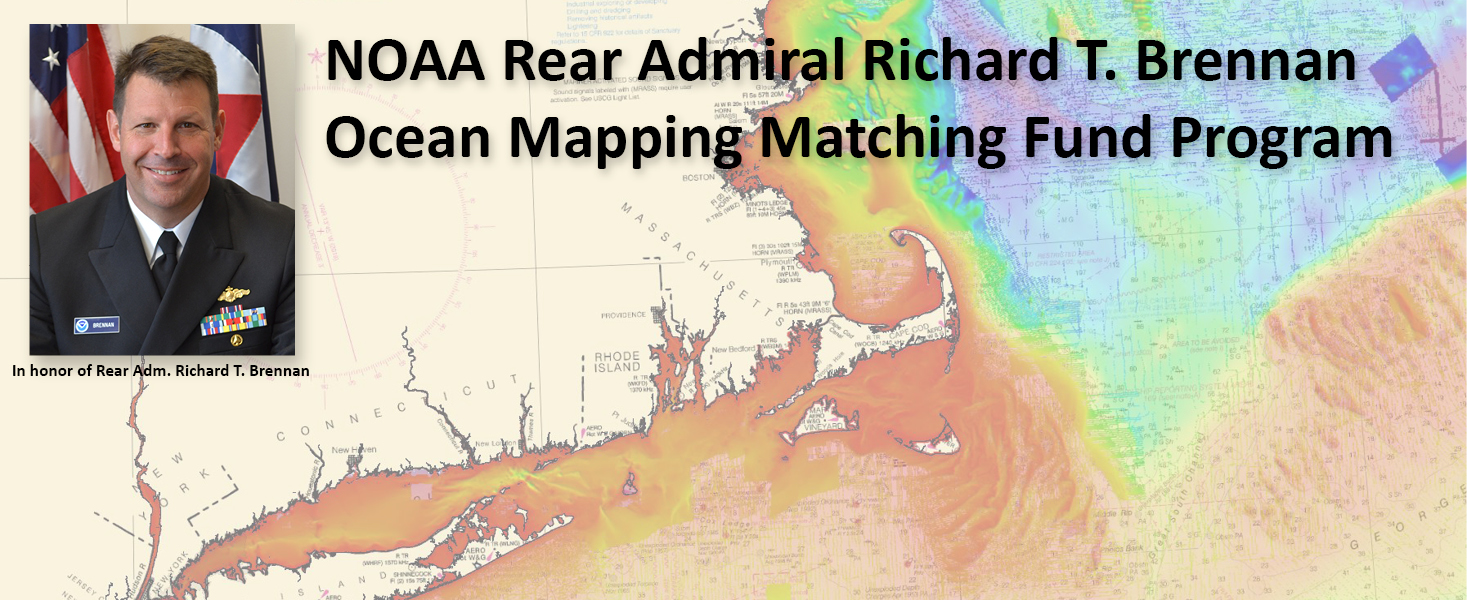
Meet our FY2024 Brennan Matching Fund partner at the upcoming August 10 webinar for the 2025 Rear Admiral Richard T. Brennan Ocean Mapping Fund program! The National Oceanic and Atmospheric Administration (NOAA) is pleased to announce our partnership with the State of Connecticut’s Department of Energy and Environmental Protection (CTDEEP) on behalf of the Steering Committee for the Long Island Sound Cable Fund (LISCF) for a hydrographic surveying project in Long Island Sound. The LISCF Steering Committee project was selected for the Brennan Matching Fund from last year’s round of applicants. Register for the August 10 informational webinar to learn about the new 2025 funding opportunity and to hear from a CTDEEP representative about their experience with the mapping matching fund process!
Continue reading “NOAA Announces 2024 Brennan Matching Fund Selection and Webinar for 2025 Funding Opportunity”3D Nation Study Hub Site now available!
The 3D Nation Elevation Requirements and Benefits Study focuses on 3D elevation data on land and underwater.
A new ArcGIS Hub Site sharing the results of the 3D Nation Elevation Requirements and Benefits Study, which was published in September 2022, is now available. The site currently features a tool which allows users to filter business use ranks by each state. The site will be updated with more immersive dashboards as they become available. This study was sponsored by the National Oceanic and Atmospheric Administration (NOAA) and the U.S. Geological Survey (USGS), and conducted by Dewberry. The study documents nationwide requirements and benefits of 3D elevation data both on land and underwater. The study also estimates the costs associated with meeting these requirements and evaluates multiple scenarios for enhancing national elevation mapping programs.
Continue reading “3D Nation Study Hub Site now available!”NOAA-NSF collaboration – evaluating coastal models utilizing Texas Advanced Computing Center services
The Unified Forecast System (UFS) is a proposed community-based earth modeling system that is designed to incorporate oceanographic forecast model core(s) into a simplified NOAA modeling suite. This simplification is intended to reduce the footprint of the number of NOAA models and thus reduce development, operations, and maintenance.
Continue reading “NOAA-NSF collaboration – evaluating coastal models utilizing Texas Advanced Computing Center services”Introducing the Inland-Coastal Flooding Operational Guidance System (ICOGS)
Where the river meets the sea can be both a turbulent and vulnerable space, particularly during strong storms when heavy precipitation and storm surge intersect. This intersection is known as “compound inland-coastal flooding,” and until now, had not been carefully studied and implemented in forecasting centers for public guidance due to its inherent complexity. NOAA’s Office of Coast Survey and the Virginia Institute of Marine Science recently developed the Inland-Coastal Flooding Operational Guidance System (ICOGS), the world’s first three-dimensional integrated compound inland-coastal flooding guidance system.
Continue reading “Introducing the Inland-Coastal Flooding Operational Guidance System (ICOGS)”
