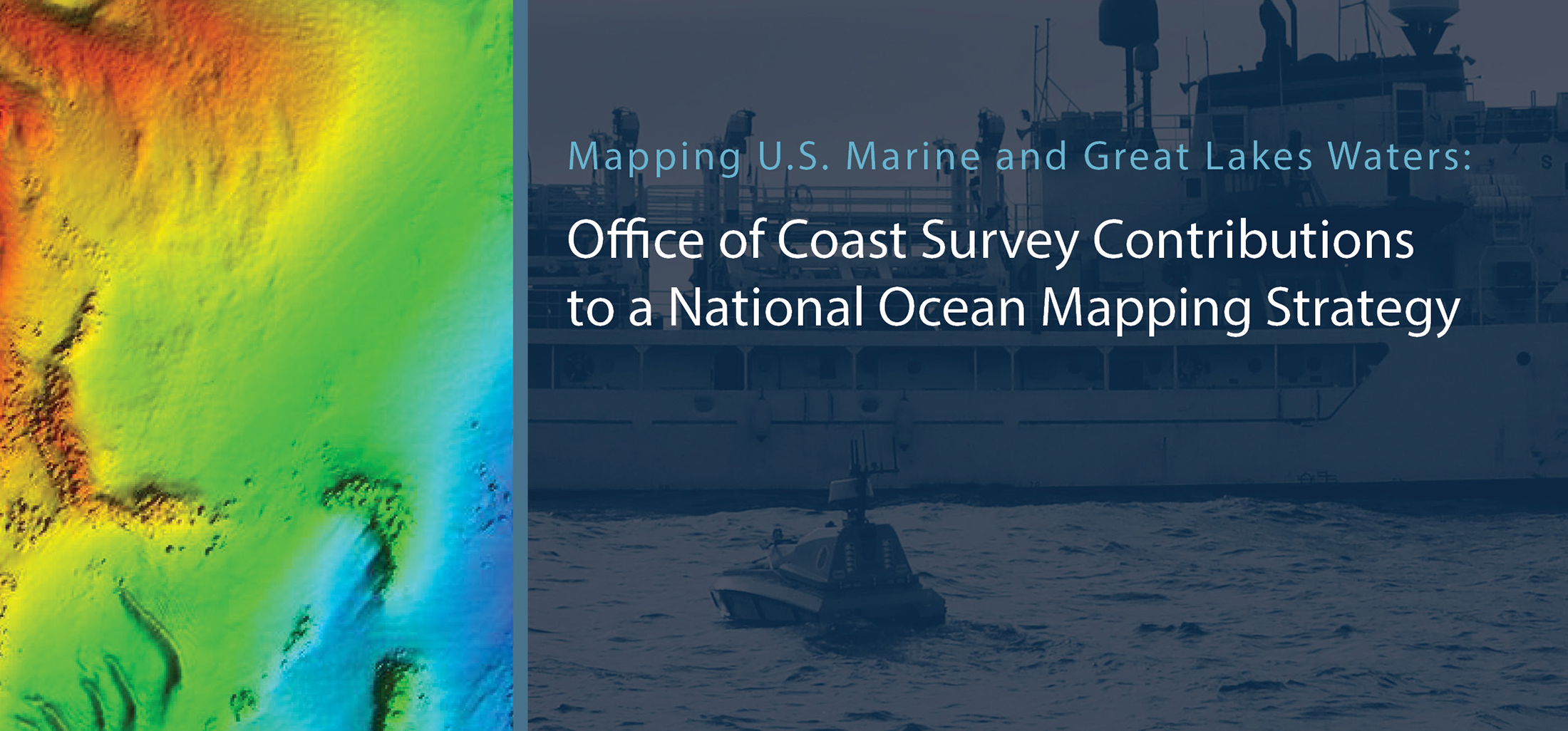
This week, NOAA’s Office of Coast Survey released the Mapping U.S. Marine and Great Lakes Waters: Office of Coast Survey Contributions to a National Ocean Mapping Strategy. This report is part of NOAA’s ongoing commitment to meet core surveying and nautical charting mandates while supporting broader needs to fill gaps in seafloor mapping and environmental sciences.
Continue reading “NOAA Coast Survey’s new strategy supports charting mandates and broader seafloor mapping”NOAA Ship Rainier returns to survey the Hawaiian coast, provides update on lava flow development
By Ens. Harper Umfress
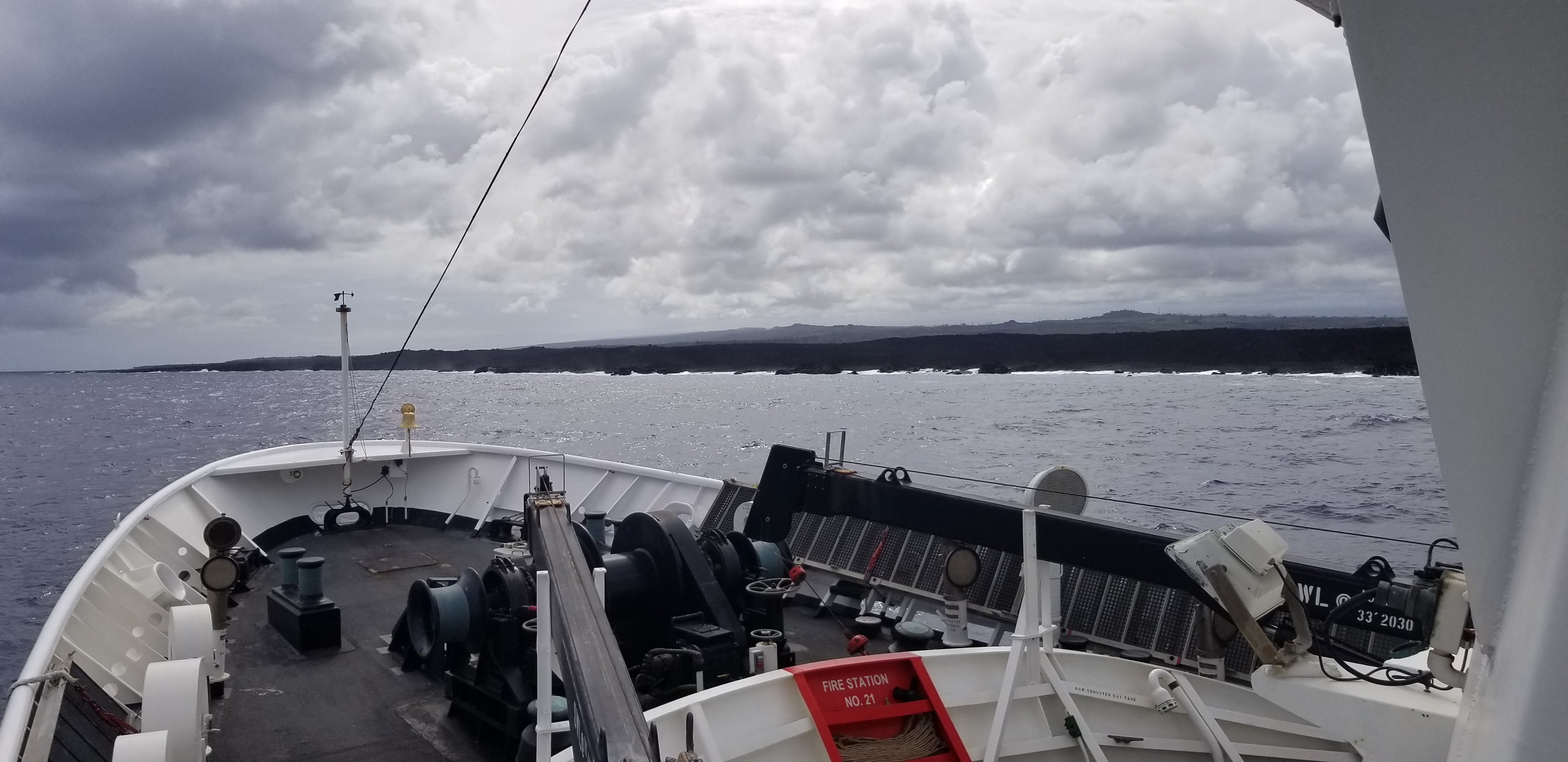
NOAA Ship Rainier’s four-decade tropical sonar silence is over and Hawaiian hydrography is back! The 2019 field season was productive, challenging, and geographically diverse. After starting the season with traditional hydrographic surveys in Alaska, Rainier was re-tasked to support science diving operations in the Papahānaumokuākea Marine National Monument that surrounds the Northwestern Hawaiian Islands. Though the primary purpose of this dispatch was to support coral reef research, the world’s most productive coastal hydrographic survey platform would have been remiss to forego this opportunity to ping new waters.
Continue reading “NOAA Ship Rainier returns to survey the Hawaiian coast, provides update on lava flow development”New NOAA precision navigation program increases safety, efficiency for maritime commerce
By Capt. Liz Kretovic, deputy hydrographer of the Office of Coast Survey
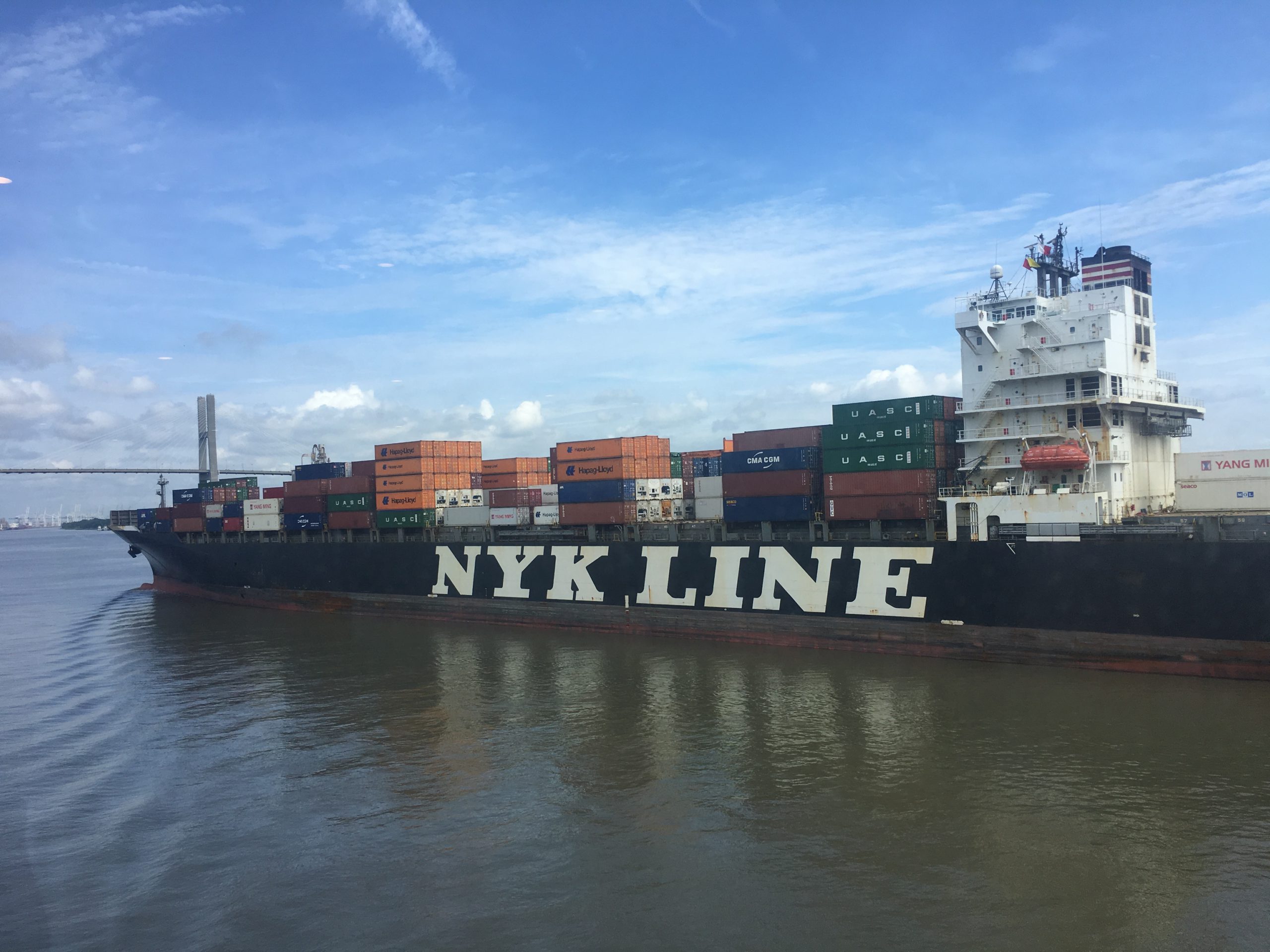
Nowadays, many cars have sensors, video cameras, and other technology installed to help drivers park in tight spaces. Now imagine you are trying to parallel park a tractor-trailer on an icy hill, against a strong crosswind, with millions of dollars of products that depend on your precise execution. Dynamic conditions, tight spaces, and high stakes are exactly the scenario that many commercial vessels face as they move 95 percent of the United States’ foreign trade in and out of U.S. ports and waterways. In a manner comparable to the way car technology supports drivers, NOAA has launched a new program to develop the next generation of marine navigation tools that provide mariners with the information they need to safely and efficiently transport maritime commerce. This next generation of products is referred to as precision navigation.
Continue reading “New NOAA precision navigation program increases safety, efficiency for maritime commerce”
NOAA announces launch of crowdsourced bathymetry database
By Lt. Cmdr. Adam Reed, Integrated Oceans and Coastal Mapping (IOCM) assistant coordinator
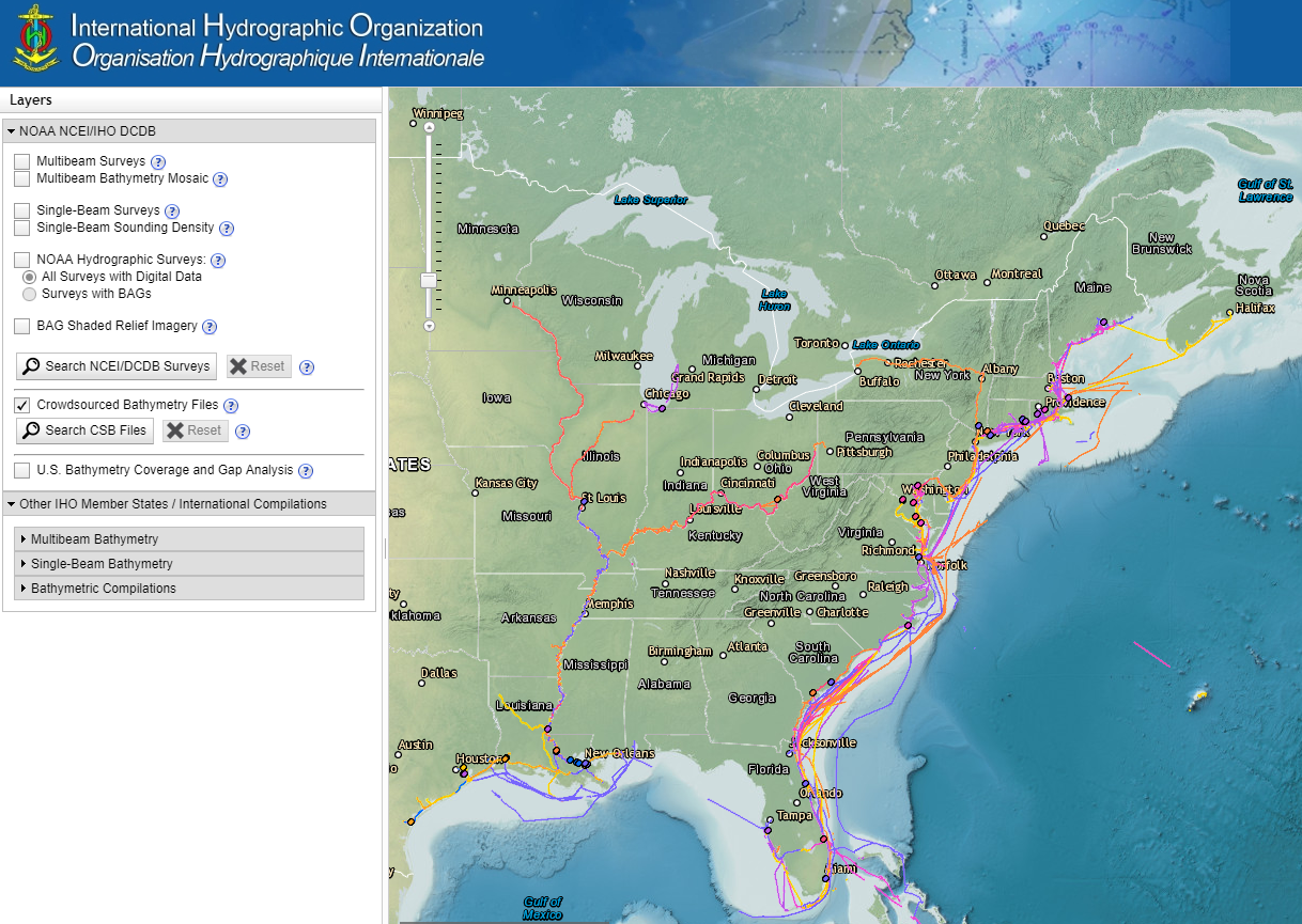
Today NOAA announces the end of a testing phase in the development of a new crowdsourced bathymetry database. Bathymetric observations and measurements from participants in citizen science and crowdsourced programs are now archived and made available to the public through the International Hydrographic Organization (IHO) Data Centre for Digital Bathymetry (DCDB) Data Viewer. The operationalized database allows free access to millions of ocean depth data points, and serves as a powerful source of information to improve navigational products.
Continue reading “NOAA announces launch of crowdsourced bathymetry database”
NOAA releases documentary on women’s service in the NOAA Corps
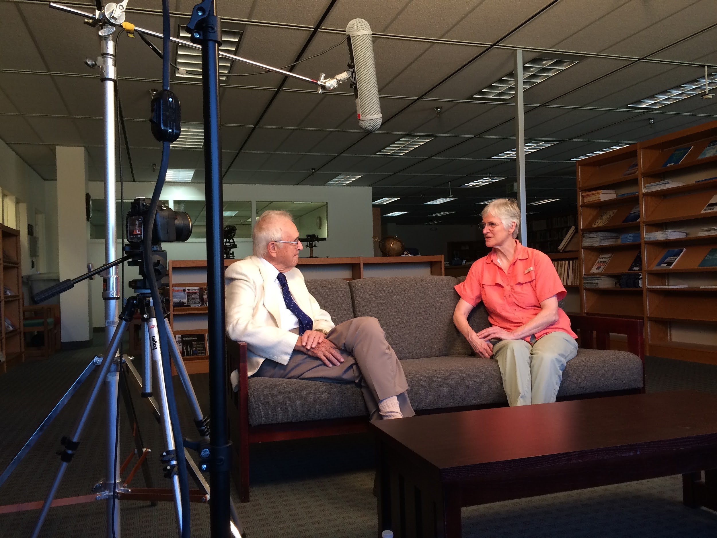
As Women’s History Month draws to a close, NOAA announces the release of Women of the NOAA Corps: Reflections from Sea and Sky, a documentary that highlights the important role women play in the NOAA Commissioned Officer Corps.
Continue reading “NOAA releases documentary on women’s service in the NOAA Corps”
Update: Fairweather reconnaissance survey finds differences from chart depictions around Point Hope; scientists assess biological and chemical trends in Chukchi Sea
by Ensign Hadley Owen, NOAA, Junior Officer, NOAA Ship Fairweather (S-220)
1200 hours, August 12, 2012: 70°38.7’N 162°06.6’W, approximately 22 miles north of Icy Cape, Alaska’s North Slope
In 1963, the town of Point Hope (68° 21’N 166°46’W) – a small, ancient, and archeologically-significant Inupiaq community on Alaska’s North Slope that remains at present a largely native village – narrowly avoided the creation of an artificial harbor by underwater hydrogen bombs. Part of “Project Plowshare,” the planned creation of a deepwater harbor by thermonuclear power was intended to demonstrate the peaceful use of nuclear power for construction purposes. It was opposed by Native American communities, scientists in the state, and the Episcopalian church across the United States. The protest has been credited as one of the first government projects successfully challenged on the grounds of its potential environmental impact.
Continue reading “Update: Fairweather reconnaissance survey finds differences from chart depictions around Point Hope; scientists assess biological and chemical trends in Chukchi Sea”

