
By Capt. Liz Kretovic, deputy hydrographer of the Office of Coast Survey
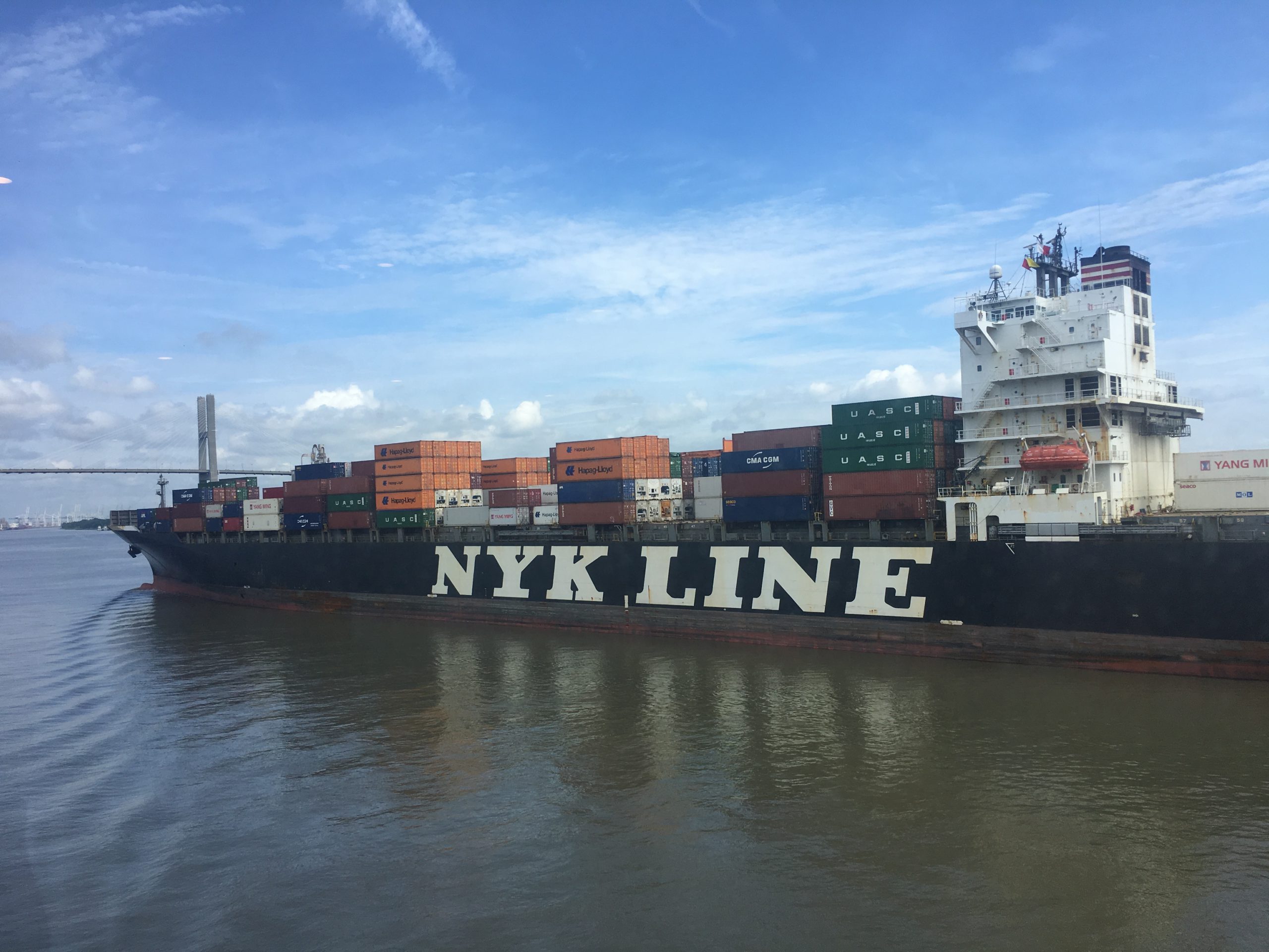
Nowadays, many cars have sensors, video cameras, and other technology installed to help drivers park in tight spaces. Now imagine you are trying to parallel park a tractor-trailer on an icy hill, against a strong crosswind, with millions of dollars of products that depend on your precise execution. Dynamic conditions, tight spaces, and high stakes are exactly the scenario that many commercial vessels face as they move 95 percent of the United States’ foreign trade in and out of U.S. ports and waterways. In a manner comparable to the way car technology supports drivers, NOAA has launched a new program to develop the next generation of marine navigation tools that provide mariners with the information they need to safely and efficiently transport maritime commerce. This next generation of products is referred to as precision navigation.

Precision navigation seamlessly integrates high-resolution bathymetry with real-time and forecast data—such as water levels, currents, salinity, temperature, and precipitation—to produce a stronger decision support tool. As a result, mariners are better equipped to make critical go/no-go decisions. Since precision navigation involves many types and sources of data, it is a well coordinated effort across several NOAA offices, including the Office of Coast Survey, the Center for Operational Oceanographic Products and Services, the National Geodetic Service, the U.S. Integrated Ocean Observing System, and the National Weather Service.
This year, NOAA offices involved with precision navigation were awarded additional funding to support foundational program management, and have established a dedicated team that will support the expansion of precision navigation to more ports throughout the country in the coming years. The precision navigation program team includes a program manager, requirements coordinator, and dissemination manager, as well as members from the other involved NOAA offices. In addition, the funding will support a socio-economic study that will look at the return on investment of the precision navigation program and fund a developer to work on the dissemination of NOAA’s data with private industries. Plans are underway to implement precision navigation in the Lower Mississippi River Port Complex as well as in the Port of New York/New Jersey. The program is currently developing a stakeholder engagement strategy to determine needs that can be addressed by precision navigation in these ports.
These new initiatives build on the success of a demonstration project in the Port of Los Angeles/Long Beach, where NOAA and its partners created high resolution depth maps and improved wave prediction, and combined them with water levels from the Physical Oceanographic Real-Time System (PORTS®). The improved services, integrated into commercial navigation software packages, allowed the port to increase the maximum draft of tankers from 65 feet to 69 feet. Each extra foot of draft translates to an additional $2 million of product per tanker transit. In addition, the increased draft allowance decreased lightering, which saves shippers an estimated $10 million per year. Expanding precision navigation to other high volume ports will reap additional economic benefits for the nation. Private industry beneficiaries of precision navigation include sectors such as the oil and gas industry, port authorities, shipping, fisheries, agriculture, and intermodal transportation networks.
The new NOAA program highlights the importance of public-private partnerships in improving the U.S. maritime transportation system. Precision navigation greatly improves safety and efficiency within the maritime community by reducing the risk of collisions and groundings while allowing vessels carry more goods in a single transit, which means fewer total trips. These benefits to maritime safety, the environment, and the economy will continue to grow as the precision navigation program brings this decision support tool to more ports around the country.