NOAA Announces 2024 Brennan Matching Fund Selection and Webinar for 2025 Funding Opportunity

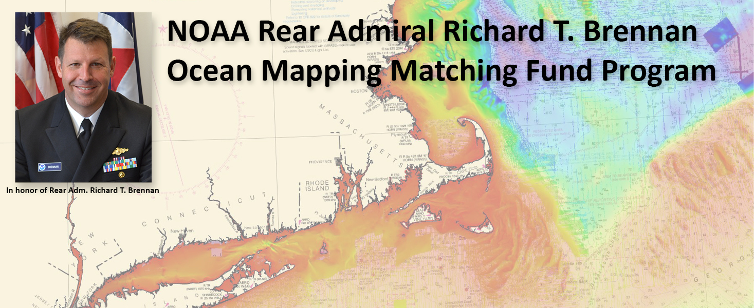
A decorative banner advertising the Brennan Matching Fund.

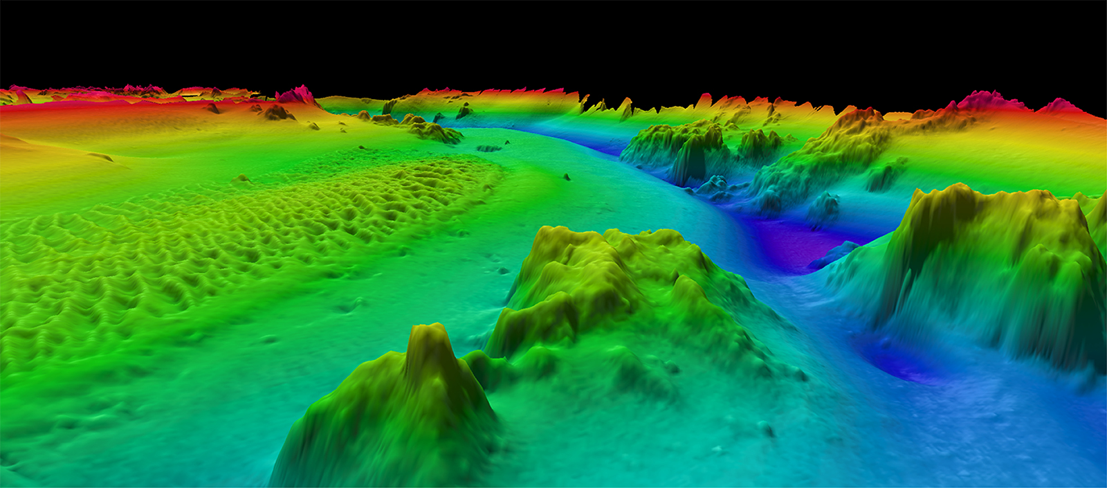
Meet our FY2024 Brennan Matching Fund partner at the upcoming August 10 webinar for the 2025 Rear Admiral Richard T. Brennan Ocean Mapping Fund program! The National Oceanic and Atmospheric Administration (NOAA) is pleased to announce our partnership with the State of Connecticut’s Department of Energy and Environmental Protection (CTDEEP) on behalf of the Steering Committee for the Long Island Sound Cable Fund (LISCF) for a hydrographic surveying project in Long Island Sound. The LISCF Steering Committee project was selected for the Brennan Matching Fund from last year’s round of applicants. Register for the August 10 informational webinar to learn about the new 2025 funding opportunity and to hear from a CTDEEP representative about their experience with the mapping matching fund process!

Continue reading “NOAA Announces 2024 Brennan Matching Fund Selection and Webinar for 2025 Funding Opportunity”

United Nations Ocean Decade endorses Seascape Alaska

A graphic showing the Seascape Alaska and United Nations Decade of Ocean Science for Sustainable Development logos on a blue background.

Congratulations to Seascape Alaska! The Intergovernmental Oceanographic Commission of the United Nations Educational, Scientific and Cultural Organization recently endorsed this important regional mapping campaign as part of the UN Decade of Ocean Science for Sustainable Development 2021-2030 (Ocean Decade), in part for its contributions to The Nippon Foundation-GEBCO Seabed 2030 Project.

Continue reading “United Nations Ocean Decade endorses Seascape Alaska”

NOAA helps develop undergraduate course in lakebed mapping

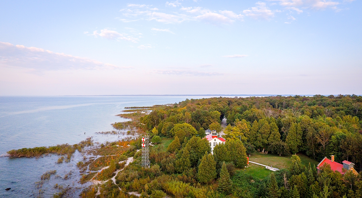
Grand Traverse Light aerial of Northport Michigan.

As the New Blue Economy grows along with demands for a climate-ready workforce, NOAA is connecting the dots between climate resilience and the need for a workforce skilled in science and technology supporting ocean and coastal mapping. Exposure to key disciplines, from geodesy, oceanography, and science data management to modeling, hydrography and GIS-based cartography, is critical to building robust interest, opportunities and expertise in the government and industry geospatial careers supporting climate resilience. NOAA works with a variety of partners to advance workforce development in these foundational geospatial areas. In particular, hydrography – measuring water depths, locating hazards, and describing the seafloor – is a challenging but exciting field dependent on skilled technicians, surveyors, and scientists to acquire mapping data using state-of-the-art technologies. With only 50% of U.S. coastal, ocean and Great Lakes waters mapped, there is a lot of work to do! Read on to learn about a hydrographic surveying project NOAA is supporting with Northwestern Michigan College in the Great Lakes.

Continue reading “NOAA helps develop undergraduate course in lakebed mapping”

NOAA releases 2023 hydrographic survey season plans

An image showing all NOAA hydrographic survey vessels.

NOAA hydrographic survey ships, navigation response teams, and contractors are preparing for the 2023 hydrographic survey season. The ships and survey vessels collect bathymetric data (i.e. map the seafloor) to support nautical charting, modeling, and research, but also collect other environmental data to support a variety of ecosystem sciences. NOAA considers hydrographic survey requests from stakeholders such as marine pilots, local port authorities, the Coast Guard, and the boating community, and also considers other hydrographic and NOAA science priorities in determining where to survey and when. Visit our “living” ArcGIS StoryMap to find out more about our mapping projects and if a hydrographic vessel will be in your area this year!

Continue reading “NOAA releases 2023 hydrographic survey season plans”

3D Nation Study report, website, and StoryMap now available

The 3D Nation Elevation Requirements and Benefits Study focuses on 3D elevation data on land and under water.

A new StoryMap on the 3D Nation Elevation Requirements and Benefits Study, which was published in September 2022, is now available. Sponsored by the National Oceanic and Atmospheric Administration (NOAA) and the U.S. Geological Survey (USGS), and conducted by Dewberry, the 3D Nation Study documents nationwide requirements and benefits of 3D elevation data both on land and under water. The study also estimates the costs associated with meeting these requirements and evaluates multiple scenarios for enhancing national elevation mapping programs.

Continue reading “3D Nation Study report, website, and StoryMap now available”

NOAA-NSF collaboration – evaluating coastal models utilizing Texas Advanced Computing Center services

The Unified Forecast System (UFS) is a proposed community-based earth modeling system that is designed to incorporate oceanographic forecast model core(s) into a simplified NOAA modeling suite. This simplification is intended to reduce the footprint of the number of NOAA models and thus reduce development, operations, and maintenance.

Continue reading “NOAA-NSF collaboration – evaluating coastal models utilizing Texas Advanced Computing Center services”

Ocean and coastal mapping matching fund opportunity

A graphic showing Rear Admiral Richard Brennan over a background of bathymetry

The Office of Coast Survey invites non-federal entities to partner with NOAA National Ocean Service’s ocean and coastal mapping programs on jointly funded projects of mutual interest using NOAA’s geospatial contracting vehicles. Known as the Brennan Matching Fund, the opportunity relies on NOAA’s mapping, charting, and geodesy expertise, appropriated funds, and its authority to receive and expend matching funds contributed by partners to conduct surveying and mapping activities. Partners benefit from this opportunity by leveraging NOAA’s contracting expertise, including its pool of pre-qualified technical experts in surveying and mapping as well as data management to ensure that the mapping data are fit for purpose and are usable for a broad set of purposes, including, for example, safe navigation, integrated ocean and coastal mapping, coastal zone management, renewable energy development, coastal and ocean science, climate preparedness, infrastructure investments, and other activities.

Continue reading “Ocean and coastal mapping matching fund opportunity”

Conducting survey operations with Coast Survey’s navigation response teams

An image showing the navigation response team retrieving the survey vessel from the water.

Strategically placed around the country, NOAA’s navigation response teams―30-foot survey vessels with a three-person survey team―maintain emergency readiness while checking chart accuracy in changing ports and harbors. Navigation response teams work day-to-day in ports and harbors, collecting data to update the nation’s nautical charts. They measure depths, locate obstructions, report dangers to navigation, and update features for safe navigation. Whether there is a need to investigate wrecks, check for suspected shoals, conduct surveys for coastal management, or work with other federal agencies to support homeland security, Coast Survey’s navigation response teams have the expertise to get the job done safely and efficiently.

Continue reading “Conducting survey operations with Coast Survey’s navigation response teams”

NOAA ocean mapping and reef surveys in the Mariana Islands

NOAA Ship Rainier alongside Ford Island in Pearl Harbor, Hawaii. on a sunny day with white clouds in the sky.

On March 26, NOAA Ship Rainier  set sail from Honolulu, Hawaii on a 3,307-nautical mile expedition to the Western Pacific. Originally planned for 2020, this will be the ship’s first multidisciplinary expedition to Guam and the Commonwealth of the Northern Mariana Islands. This collaborative mission between NOAA’s National Ocean Service and National Marine Fisheries Service will deliver high‐quality data, data products, and tools to the region including a seamless map linking hilltops to underwater depths and integrated data on the surrounding coral reef ecosystems. These data can provide information for countless users to make critical management decisions within disciplines such as habitat management and restoration, tsunami modeling, monitoring, and marine resource management.

Continue reading “NOAA ocean mapping and reef surveys in the Mariana Islands”

NOAA releases 2022 hydrographic survey season plans

NOAA Ship Fairweather in College Fiord, Alaska

NOAA hydrographic survey ships and contractors are preparing for the 2022 hydrographic survey season in U.S. coastal waters and beyond. The ships collect bathymetric data (i.e. map the seafloor) to support nautical charting, modeling, and research, but also collect other environmental data to support a variety of ecosystem sciences. NOAA considers hydrographic survey requests from stakeholders such as marine pilots, local port authorities, the Coast Guard, and the boating community, and also considers other hydrographic and NOAA science priorities in determining where to survey and when. Visit our “living” story map to find out more about our mapping projects and if a hydrographic vessel will be in your area this year!

Continue reading “NOAA releases 2022 hydrographic survey season plans”