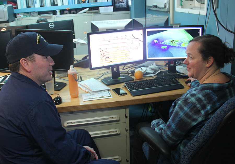
The field of hydrography, like most sciences, is comprised of experts honing their craft, improving their tools, building upon the successes of previous years, and learning from their mistakes. Hydrographers typically accomplish this iterative process in the field, publishing papers, presenting at industry conferences, and often through discussions over the phone or via email. However, once a year, the NOAA hydrographic community — those who measure and describe the features of the seafloor to update nautical charts and support a variety of sciences — meets at the Field Procedures Workshop to not only share information, but have frank discussions about their challenges and the path forward in preparation for the upcoming hydrographic field season.
Continue reading “NOAA hydrographic community prepares for field season at annual workshop”S-100 sea trials: working toward harmonized navigation products
By Julia Powell, deputy division chief of the Coast Survey Development Lab
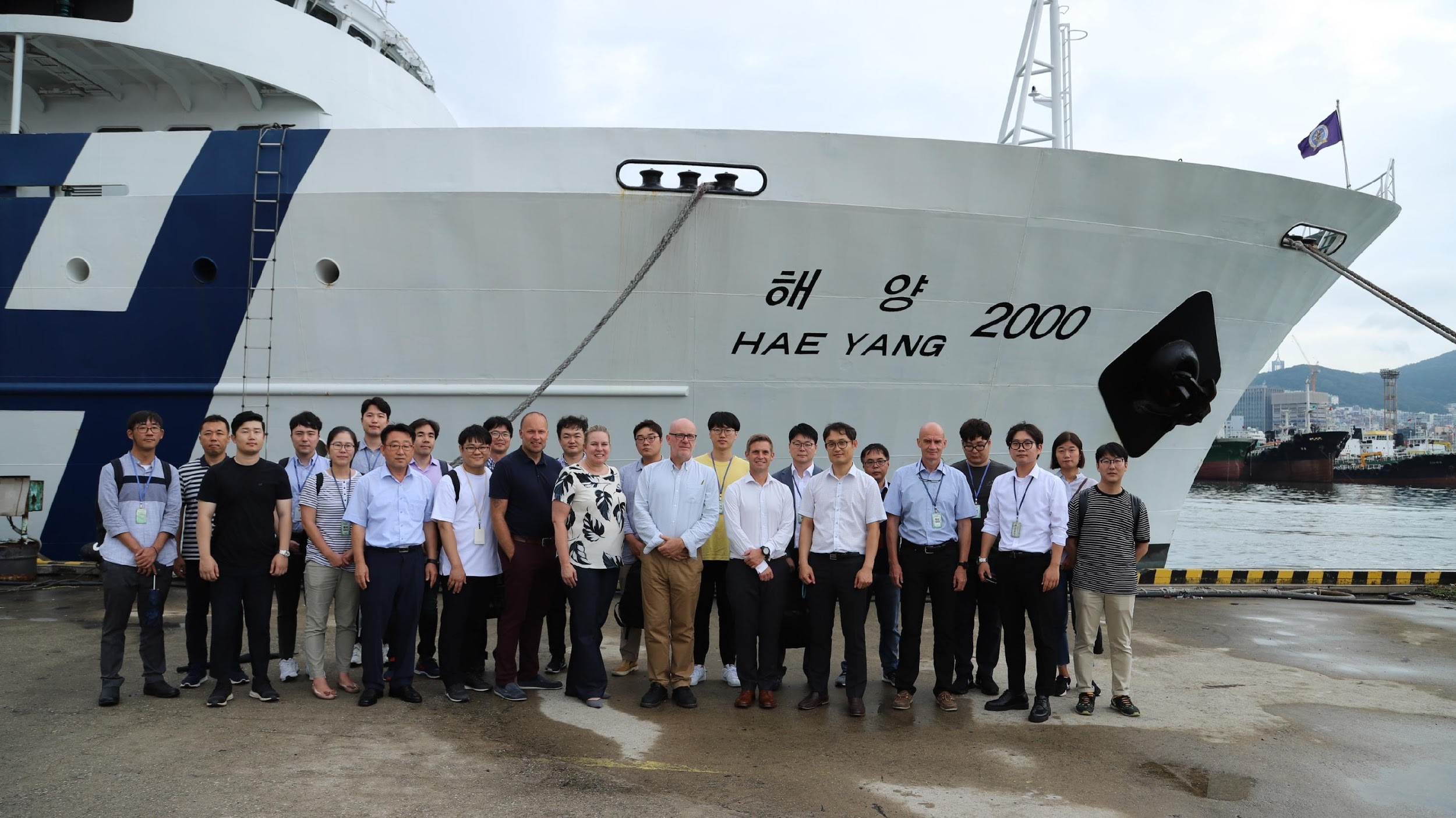
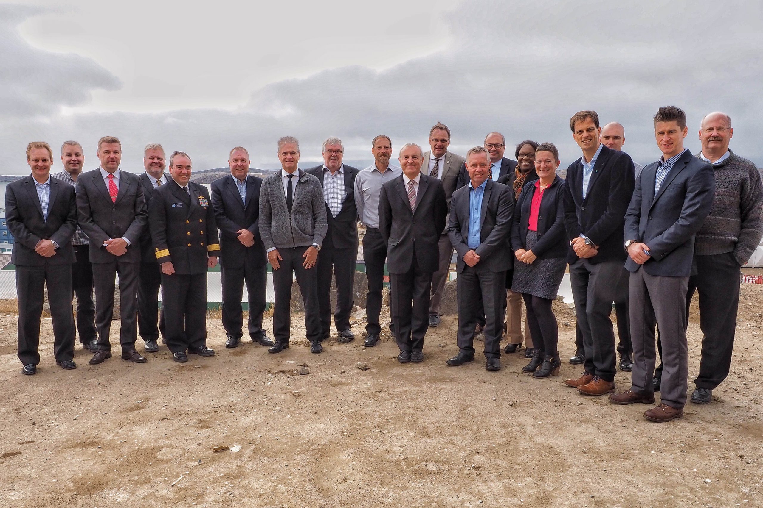
On August 27, an international contingent from the United States (NOAA), the United Kingdom Hydrographic Office, and the Canadian Hydrographic Service participated in the S-100 sea trial in Busan, Republic of Korea.
S-100 is the International Hydrographic Organization’s (IHO) Universal Hydrographic Data Model’s framework standard from which a variety of product specifications can be developed for use within navigation systems and marine spatial data infrastructure. For many years, NOAA and the Ministry of Fisheries of the Republic of Korea have had a Joint Project Agreement and one of the projects is to develop and promote and S-100 test bed. This test bed is designed to help further the development of S-100 infrastructure used to develop S-100 related products and further the testing of S-100 interoperability within navigation systems.
Continue reading “S-100 sea trials: working toward harmonized navigation products”NOAA hosts 2019 Nautical Cartography Open House and Chart Adequacy Workshop
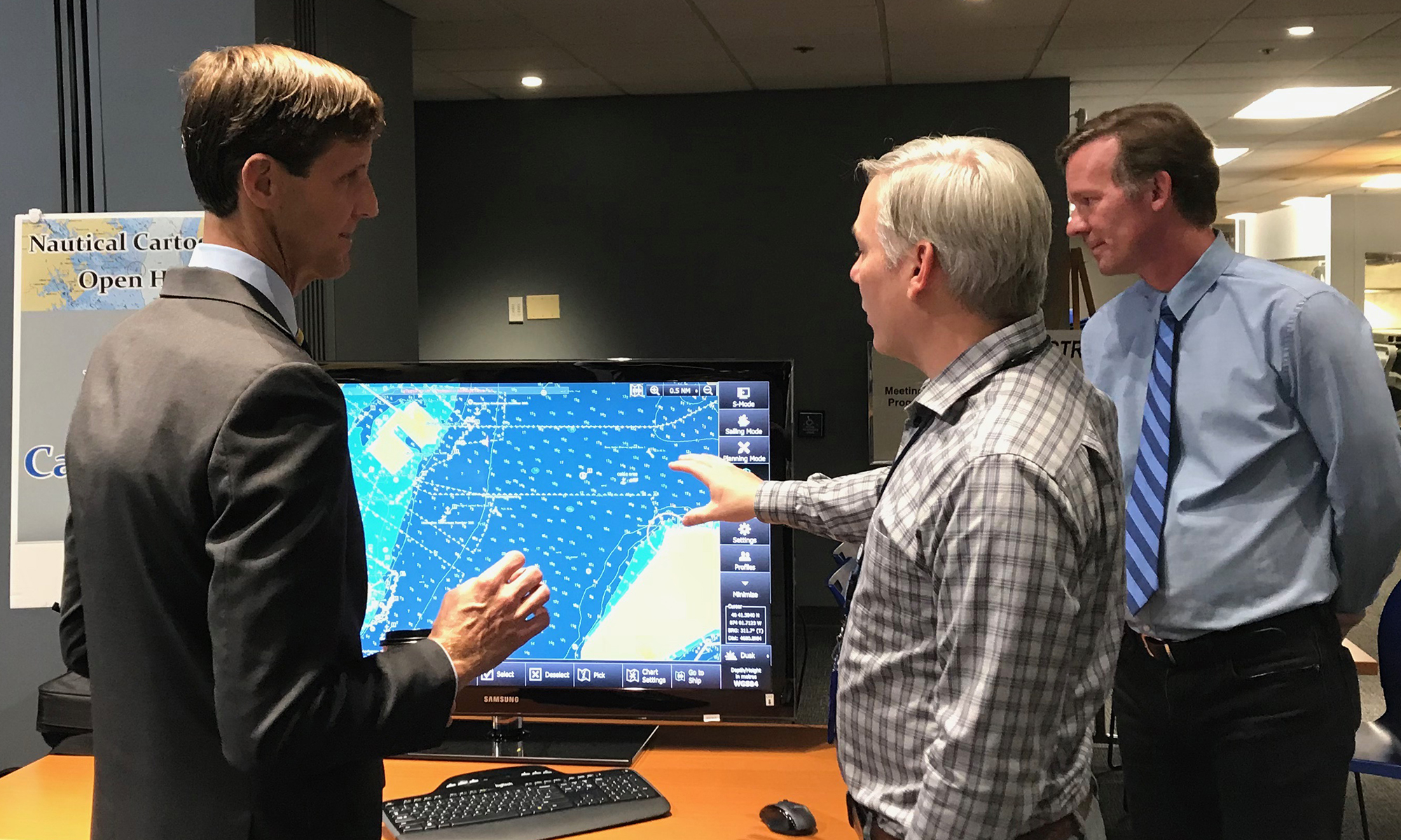
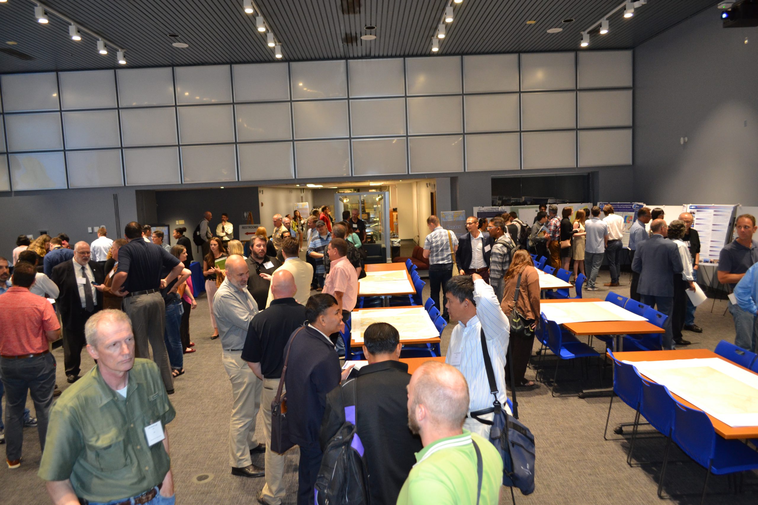
Last week, NOAA’s Office of Coast Survey held its third annual Nautical Cartography Open House welcoming over 250 attendees from the U.S. and abroad. Government agencies, industry and academic partners, and members of the public attended. The open house featured posters, presentations, tours, and exhibits centered around four themes: Bathymetric Databases, Custom Charting, Innovative Cartography, and Precision Navigation. Dr. Shachak Pe’eri, organizer of the event and chief of the Cartographic Support Branch in the Marine Chart Division, welcomed attendees in the morning and John Nyberg, chief of the Marine Chart Division, gave the keynote speech.
Continue reading “NOAA hosts 2019 Nautical Cartography Open House and Chart Adequacy Workshop”NOAA welcomes local and international attendees at 2018 Nautical Cartography Open House
Last week NOAA Coast Survey welcomed approximately 170 attendees representing 17 countries to the 2018 Nautical Cartography Open House. Industry partners, members of the public, and other government agencies attended, including the Bureau of Ocean Energy Management, Naval Hydrographic and Oceanic Service (SHOM) from France, Canadian Hydrographic Service, Dalian Naval Academy, National Taiwan Ocean University, and the Joint Hydrographic Center/Center for Coastal and Ocean Mapping (JHC/CCOM).
Continue reading “NOAA welcomes local and international attendees at 2018 Nautical Cartography Open House”
NOAA hosts 2018 Chart Adequacy Workshop
On July 23, NOAA Coast Survey hosted a three-day Chart Adequacy Workshop that included participants from 13 countries. This is the fourth Chart Adequacy Workshop held at NOAA’s Silver Spring, Maryland campus.

The main goal of the workshop is to provide training for professional cartographers and hydrographers on techniques for assessing nautical chart adequacy using publicly-available information, such as satellite images and maritime automatic identification system (AIS) data. The participants received an overview on Coast Survey datasets, processes, and requirements for nautical charts. They also learned about preprocessing hydrographic data, such as loading charts, uploading imagery, and applying electronic navigation charts (ENCs) and AIS point data. Through a series of lab units, the attendees practiced performing the concepts they learned. Continue reading “NOAA hosts 2018 Chart Adequacy Workshop”
NOAA surveys Lake Champlain for improved flood modeling and mitigation strategies
At the request of the NOAA Great Lakes Environmental Research Lab (GLERL), NOAA’s Office of Coast Survey deployed a survey team and a new autonomous surface vehicle (ASV) to gather hydrographic data in and around the narrow causeway inlets that dot the Lake Champlain basin in Vermont. GLERL will use the data to improve flood forecast models and analyze flood mitigation strategies in the Lake Champlain-Richelieu River system as part of a U.S. and Canada study led by the International Joint Commission.
Continue reading “NOAA surveys Lake Champlain for improved flood modeling and mitigation strategies”
From seaports to the deep blue sea, bathymetry matters on many scales
By Rear Adm. Shep Smith, director of the Office of Coast Survey
On Thursday, June 21, we celebrate World Hydrography Day. This year’s theme—Bathymetry – the foundation for sustainable seas, oceans and waterways—is very timely as many hydrographic organizations worldwide are focusing on bathymetry at local and global scales. While we work to perfect real-time data and high-resolution bathymetry for ports, we are still working to build a foundational baseline dataset of the global seafloor. Our work at both scales have implications for the local and global economies.
Continue reading “From seaports to the deep blue sea, bathymetry matters on many scales”
The world of S-100: Updated framework of maritime data standards to be released in 2018
By Julia Powell, deputy chief of the Coast Survey Development Lab
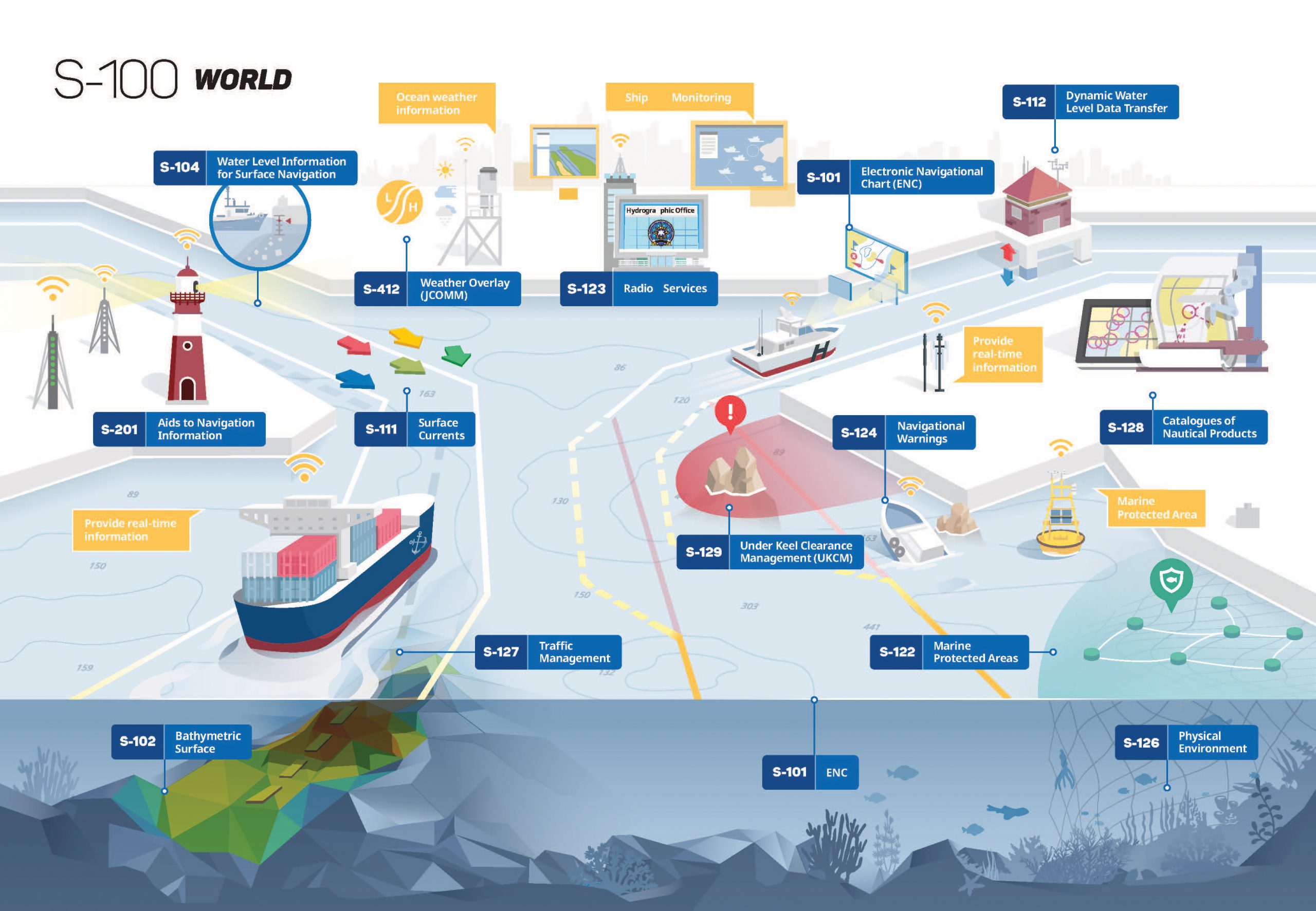
As e-Navigation becomes more popular, mariners are provided with streams of maritime data from multiple sources that allow them to more safely and efficiently navigate the seas. However, as the amount of information and number of sources grows, there is a need to standardize the data so it can be easily integrated and seamlessly displayed on navigation systems. Later this year, the International Hydrographic Organization (IHO) will publish edition 4.0.0 of S-100 – Universal Hydrographic Data Model. S-100 is the IHO’s framework for the standardization of maritime data products such as high resolution bathymetry, surface currents, marine protected areas, and the new standards for electronic navigational charts (ENCs).
Continue reading “The world of S-100: Updated framework of maritime data standards to be released in 2018”
Rear Adm. Shepard M. Smith elected to chair the International Hydrographic Organization Council
Rear Adm. Shepard M. Smith, director of NOAA’s Office of Coast Survey and the U.S. national representative to the International Hydrographic Organization (IHO), was elected as the chair of the newly established IHO Council.
The council was established in November 2016 as a result of the adoption of amendments to the Convention on the International Hydrographic Organization. It is composed of 30 leading hydrographic nations from the membership of the IHO, and functions much like a corporate board of directors, overseeing performance management and the business side of the IHO. Continue reading “Rear Adm. Shepard M. Smith elected to chair the International Hydrographic Organization Council”
NOAA hosts first open house on nautical cartography
NOAA’s Office of Coast Survey hosted the first NOAA open house on nautical cartography on Friday, July 7th. The event featured posters, presentations, and tours focusing on nautical cartography, highlighting the field of charting and GIS. Industry partners such as ESRI, CARIS, Fugro Palegos, Inc., and IIC Technologies, international mapping groups such as Cartography and Geographic Information Society (CaGIS) and General Bathymetric Chart of the Oceans (GEBCO), government agencies such as U.S. Army Corps of Engineers and the Navy, and many international charting offices were in attendance. The open house welcomed a total of 200 visitors, representing 24 countries. Continue reading “NOAA hosts first open house on nautical cartography”


