Collecting aerial images on the Chesapeake’s Western Shore

U.S. Naval Academy bridge crossing the Severn River

By Tom Loeper

Early in the morning of June 15, John Doroba and Tom Loeper met with Anne Arundel Park Ranger Adam Smith to collect aerial oblique images of several rivers on the Western Shore of the Chesapeake Bay. These images will be used to update existing content in the United States Coast Pilot 3, Atlantic Coast: Sandy Hook, New Jersey to Cape Henry, Virginia. In addition to acquiring images, experience gained during the field exercise will be used to update aerial photography specifications in the Coast Pilot manual.

Continue reading “Collecting aerial images on the Chesapeake’s Western Shore”

United States Coast Pilot® covering the Pacific now in two volumes

Coast Pilot 10 cover

What is currently known as United States Coast Pilot® 7 was first published in 1903. The official published name was United States Coast Pilot—Pacific Coast California, Oregon and Washington. Content and information was inclusive of those three states. After Hawaii became a state in 1959, information on the Hawaiian Islands—including the long string of islands and atolls out to Midway Island—was incorporated into the newly titled United States Coast Pilot 7—Pacific Coast California, Oregon, Washington and Hawaii. In 1988, information originally maintained by the National Geospatial-Intelligence Agency under Publication 126 on the remote Pacific Islands (American Samoa, Guam and the Marianas) was added as a new chapter.

Continue reading “United States Coast Pilot® covering the Pacific now in two volumes”

The Great Lakes are getting a digital upgrade

Screenshot of an ENC for the Pelee Passage Southeast Shoal.

NOAA’s Office of Coast Survey collaborated with U.S. and Canadian mariners, the Lake Carriers’ Association (LCA), and the Canadian Chamber of Marine Commerce (CMC) to update the Recommend Courses in Lake Erie and transfer them from paper charts to NOAA electronic navigational charts (NOAA ENC®). This bi-national effort involved compiling and updating information for Lake Erie’s 75 routes which span both U.S. and Canadian waters. These routes cover 20 NOAA and five Canadian ENCs.

Continue reading “The Great Lakes are getting a digital upgrade”

Coast Survey Spotlight: Meet Rick Powell


Ever wonder what it’s like to be a member of the NOAA Coast Survey team? We use the Coast Survey spotlight blog series as a way to periodically share the experiences of Coast Survey employees as they discuss their work, background, and advice.


Rick Powell, cartographer

“The Coast Pilot is a supplement to the chart, and eventually the electronic navigational chart… This helps ensure that our knowledge of the subject is transferred to the navigator/mariners with little effort.”

Continue reading “Coast Survey Spotlight: Meet Rick Powell”

NOAA releases new edition of nautical chart symbol guide

U.S. Chart No. 1 booklet covers

Edition 13 of U.S. Chart No. 1 is now available to download for free on Coast Survey’s website. Paper copies may also be purchased from any of four NOAA Chart No. 1 publishing agents.

This 130-page book describes the symbols, abbreviations, and terms used on paper  NOAA nautical charts and for displaying NOAA electronic navigational chart (NOAA ENC®) data on Electronic Chart Display and Information Systems (ECDIS). The document also shows paper chart symbols used by the National Geospatial-Intelligence Agency and symbols specified by the International Hydrographic Organization.

Continue reading “NOAA releases new edition of nautical chart symbol guide”

U.S. Coast Pilot® now contains Navigation Rules

NOAA recently announced that all nine United States Coast Pilot®  volumes now contain the U.S. Coast Guard International Regulations for the Prevention of Collisions at Sea (72 COLREGS) and the Inland Navigation Rules — commonly known as the “Rules of the Road.” The navigation rules are similar to rules on the highway as they present a consistent way to navigate safely and avoid collisions. Having the newly published Coast Pilot now fulfills the legal requirement for mariners to maintain a copy of these regulations on board.

Continue reading “U.S. Coast Pilot® now contains Navigation Rules”

NOAA and USGS collaborate to fulfill important agency missions in offshore areas along the West Coast

This summer, the Coastal and Marine Geology Program of the U.S. Geological Survey (USGS) and NOAA’s Office of Coast Survey together ran an interagency ocean mapping project across several large portions of the Cascadia Margin, offshore of California, Oregon, and Washington states.
This collaboration,  conducted aboard the NOAA Ship Rainier, used hydrographic surveying equipment to collect swath bathymetry, backscatter intensity data, and full water column data within the project areas. The high-resolution geospatial data acquired will provide key baseline data for targeted USGS studies to improve hazard assessment and forecasting for marine geohazards offshore of northern California, Oregon, and Washington.  NOAA will also use the data to update nautical charts for safe navigation in the region. Continue reading “NOAA and USGS collaborate to fulfill important agency missions in offshore areas along the West Coast”

U.S. Coast Pilot goes interactive

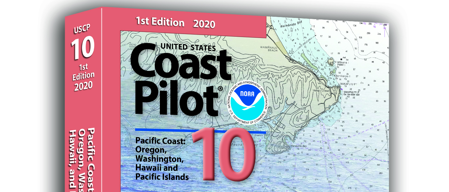
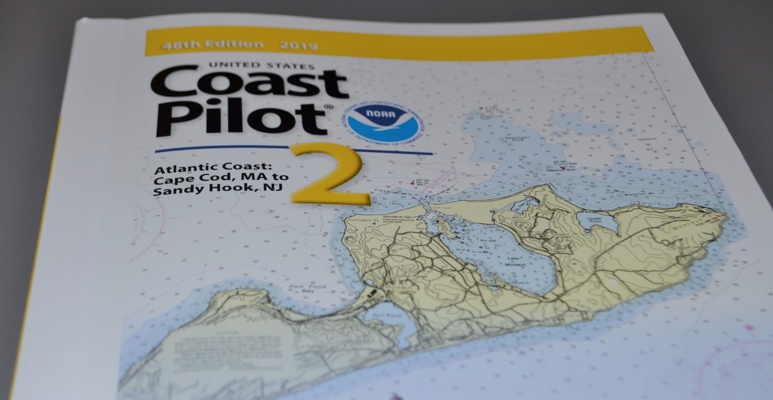
Coast Survey published its earliest version of the United States Coast Pilot in 1858, as Appendix No. 44 in Coast Survey’s Annual Report. The publication, organized into nine regional volumes, provides navigational information that can’t fit on nautical charts.
The U.S. Coast Pilot has gone through many iterations over the last 158 years. In the last century, we’ve added more information and added color to the historically black and white copy. More recently, we began posting book files on the web for easy download. We have now taken the next major step, enabled by interactive digital technology, to give boaters an enhanced and more accessible product. (Please note, the improved version is not mobile-friendly. You should use a tablet or larger screen.)
Breakthroughs in digital editing and publishing have allowed us to produce the U.S. Coast Pilot in a digital format called extensible markup language (XML). People won’t notice a difference from the original format — it looks the same as the paper copy — but the online version has some neat interactive features. To find them, go to the U.S. Coast Pilot, select your volume, and then click on a chapter in the left hand HTML column.
Continue reading “U.S. Coast Pilot goes interactive”