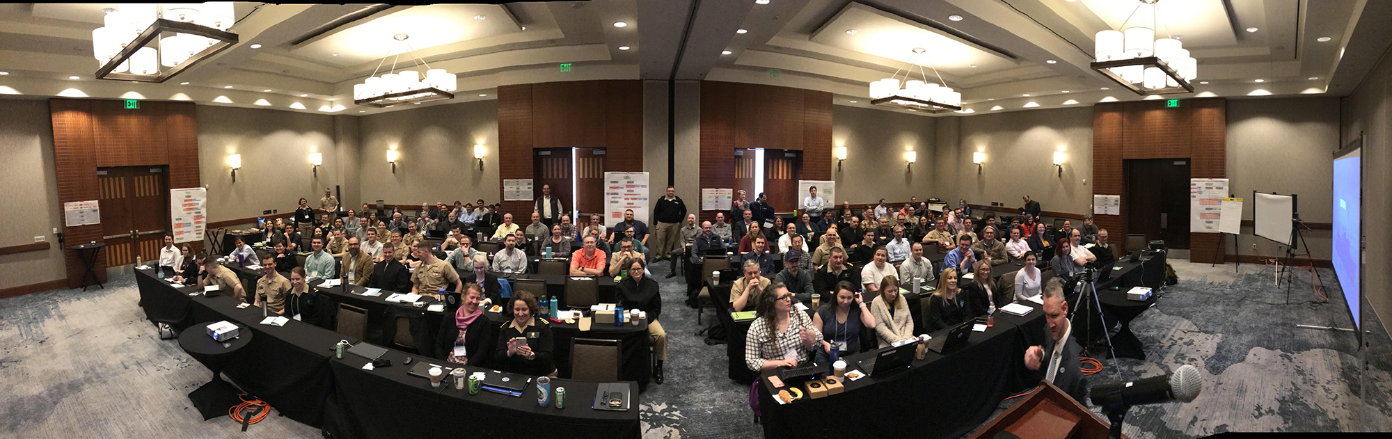
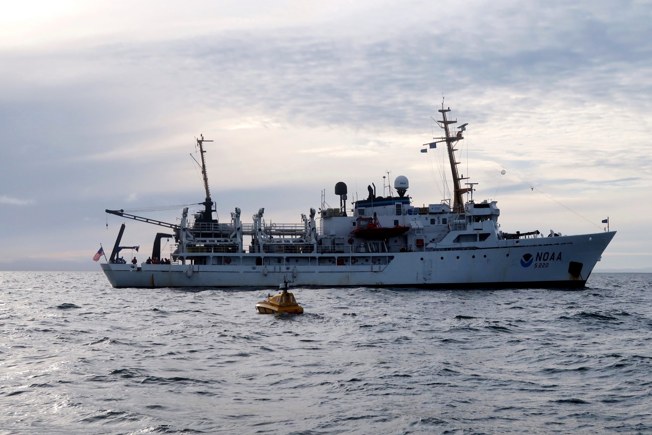
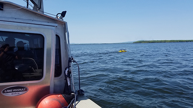
The field of hydrography, like most sciences, is comprised of experts honing their craft, improving their tools, building upon the successes of previous years, and learning from their mistakes. Hydrographers typically accomplish this iterative process in the field, publishing papers, presenting at industry conferences, and often through discussions over the phone or via email. However, once a year, the NOAA hydrographic community — those who measure and describe the features of the seafloor to update nautical charts and support a variety of sciences — meets at the Field Procedures Workshop to not only share information, but have frank discussions about their challenges and the path forward in preparation for the upcoming hydrographic field season.
Continue reading “NOAA hydrographic community prepares for field season at annual workshop”Change of command for NOAA Ship Rainier
On November 15, 2019, the crew of NOAA Ship Rainier hosted a change of command in Valejo, California. Cmdr. Sam Greenaway accepted command of Rainier, relieving Capt. Ben Evans in a ceremony led by Capt. Michael Hopkins, commanding officer of NOAA’s Office of Marine and Aviation Operations (OMAO) Marine Operations Center-Pacific.
Continue reading “Change of command for NOAA Ship Rainier”NOAA Ship Thomas Jefferson tests innovative DriX unmanned surface vehicle
By Ens. Taylor Krabiel
During the month of October, NOAA Ship Thomas Jefferson integrated and operated a DriX, an Unmanned Surface Vessel (USV) created by the French technology company iXblue. The primary goal of the project was to test iXblue’s unique deployment and recovery solution specifically designed for Thomas Jefferson’s on board survey launch davit. Survey launches are limited to daylight operations and deployment and recovery are the most challenging operations the ship undertakes. Utilizing a DriX for continuous survey operations without having to recover and/or service it for up to four days straight would significantly increase the ship’s efficiency.
Continue reading “NOAA Ship Thomas Jefferson tests innovative DriX unmanned surface vehicle”NOAA Ship Rainier successfully field tests autonomous hydrographic survey launch
By Lt. j.g. Airlie Picket
NOAA Ship Rainier field tested a new hydrographic survey platform this season. Last winter, one of the ship’s hydrographic survey launches was converted into a semi-autonomous vessel, allowing it to be operated remotely. Hydrographic surveying is, by nature, dangerous. Autonomous systems have the potential to augment traditional surveying methods, improving efficiency and decreasing (or eliminating) risk to the surveyors themselves. As such, this technology is an exciting step toward fully-autonomous hydrographic survey systems.
Continue reading “NOAA Ship Rainier successfully field tests autonomous hydrographic survey launch”Saildrone launched with seafloor mapping capabilities in the Gulf of Mexico shows promise for remote Arctic mapping
NOAA’s Office of Coast Survey, the University of Southern Mississippi (USM), and Saildrone accomplished a key milestone in the research and testing of unmanned technology that can lead to enhanced seafloor mapping capabilities with the launch of the first Saildrone — a wind-driven and solar-powered unmanned surface vehicle (USV) — equipped with multibeam echo sounder technology in the Gulf of Mexico. NOAA anticipates the success of this mission and technical achievement will lead to mapping projects in the Arctic.
Continue reading “Saildrone launched with seafloor mapping capabilities in the Gulf of Mexico shows promise for remote Arctic mapping”NOAA releases 2019 hydrographic survey plans
NOAA’s Office of Coast Survey is the nation’s nautical chartmaker, and maintains a suite of more than a thousand nautical charts. Coast Survey is responsible for charting U.S. waters and Great Lakes covering 3.4 million square nautical miles (SNM) of water and 95,000 miles of coastline.
NOAA’s hydrographic survey ships along with hydrographic contractor vessels, recently kicked off the 2019 hydrographic survey season. These surveys not only update the suite of nautical charts, but also help to maintain the safety of maritime commerce, recreational boaters, natural ecosystems, and much more. Operations are scheduled for maritime priority areas around the country and are outlined in Coast Survey’s “living” story map. Here is a list of where they are headed this year:
Continue reading “NOAA releases 2019 hydrographic survey plans”NOAA Ship Thomas Jefferson tests drone use for shoreline mapping
By, Lt. j.g. Matt Sharr, NOAA, and Lt. Charles Wisotzkey, NOAA
NOAA’s Office of Coast Survey and the National Geodetic Survey (NGS) recently conducted operational tests of small unmanned aerial systems — or drones — on board NOAA Ship Thomas Jefferson in support of survey operations conducted along the south coast of Puerto Rico. The tests show the potential of imagery from low-cost off-the-shelf drones to meet NOAA survey specifications for near-shore and shoreline feature mapping. This could replace traditional shoreline verification and mapping techniques used by NOAA hydrographic survey field units. Potential benefits of using drones for shoreline mapping include: improved data collection efficiency compared to data collection from small skiffs; more accurate feature investigation than traditional techniques; and, most importantly, removal of personnel from potentially dangerous situations (i.e. survey in close proximity to features being mapped).
Continue reading “NOAA Ship Thomas Jefferson tests drone use for shoreline mapping”NOAA Ship Thomas Jefferson successfully tests new wireless system that aids remote vessel operation
By Lt. Charles Wisotzkey, NOAA
NOAA Ship Thomas Jefferson successfully tested a new wireless networking system while working in the Approaches to Houston/Galveston and around Puerto Rico during the 2018 field season. This new system connects the ship and its two hydrographic survey launches, providing a level of wireless connectivity previously unobtainable with traditional wireless communications systems. NOAA anticipates this will increase unmanned system productivity while conducting hydrographic surveys.
Continue reading “NOAA Ship Thomas Jefferson successfully tests new wireless system that aids remote vessel operation”NOAA researches autonomous survey system in the Arctic
By Rob Downs, Office of Coast Survey unmanned systems projects lead
A team composed of research engineers and a graduate student from the University of New Hampshire Center for Coastal and Ocean Mapping/Joint Hydrographic Center (UNH CCOM/JHC) and personnel from NOAA’s Office of Coast Survey are aboard the NOAA Ship Fairweather to test UNH’s BEN (Bathymetric Explorer and Navigator) unmanned surface vehicle (USV). On Saturday, July 28, the Fairweather made the first successful launch of a USV for an operational hydrographic survey from a NOAA vessel in the Arctic. The team conducted four additional deployments, including an extended overnight survey made in coordination with the ship.
Continue reading “NOAA researches autonomous survey system in the Arctic”NOAA surveys Lake Champlain for improved flood modeling and mitigation strategies
At the request of the NOAA Great Lakes Environmental Research Lab (GLERL), NOAA’s Office of Coast Survey deployed a survey team and a new autonomous surface vehicle (ASV) to gather hydrographic data in and around the narrow causeway inlets that dot the Lake Champlain basin in Vermont. GLERL will use the data to improve flood forecast models and analyze flood mitigation strategies in the Lake Champlain-Richelieu River system as part of a U.S. and Canada study led by the International Joint Commission.
Continue reading “NOAA surveys Lake Champlain for improved flood modeling and mitigation strategies”
