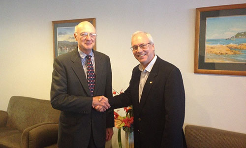
The International Board on Standards and Competence for Hydrographic Surveyors and Nautical Cartographers (IBSC) recognized and approved Coast Survey’s new certification program in cartography (CAT-B) at their 40th meeting in Willington, New Zealand. Capt. Andy Armstrong (NOAA, ret.), co-director of the Center for Coastal & Ocean Mapping/Joint Hydrographic Center at the University of New Hampshire, presented the program at the meeting.

The new program will grant certificates to up to 13 cartographers per year, through a combination of lectures, hands-on chart production experience, work details to various branches within the Coast Survey, and field trips to working hydrographic survey vessels. The first class (which is already full), will begin in fall 2017 at Coast Survey headquarters in Silver Spring, Maryland. The duration of the program is 51 weeks and comprises six courses:
A refresher course will review basic math, computer and communication technology, marine geography, hydrography, and geodetic topics.
Introduction to cartography course (provided by Montgomery College) will review elements of cartography; specifically scale, design, and data manipulation techniques.
GIS and spatial analysis course (provided by University of Maryland, College Park) will provide a comprehensive understanding of spatial analysis methods and practical experience using GIS.
Map design course (provided by Montgomery College) will offer hands-on experience using various styles and techniques associated with cartographic design, including analysis of chart design parameters and compilation of thematic cartographic projects.
GIS and spatial modeling course (provided by University of Maryland, College Park) will give the student a foundation and understanding of various issues related to modeling and simulation in GIS, including concepts, tools, and techniques of GIS modeling (vector- and raster‐based modeling).
NOAA training project and 12-week internship program will include: 1) a detailed review of many of the activities conducted by the branches in Coast Survey’s Marine Chart Division; and 2) a training project that demonstrates the student’s ability to implement the knowledge gained during the certification.
Coast Survey plans to offer this program on annual basis. Registration for the 2018 session will be announced next January.

News and Updates

Hi!, where is the link in order to apply to this training in Silver Spring
thanks,
Please contact: shachak.peeri@noaa.gov