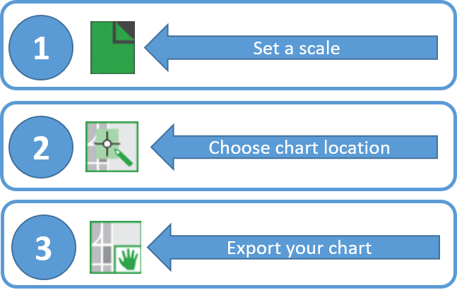
A prototype version of a powerful new online tool, NOAA Custom Chart, is now available for boaters and other nautical chart users. The application enables users to define the scale and paper size of custom-made nautical charts centered on a position of their choosing. Once the functionality of this prototype is fully developed, NOAA Custom Chart will be an easy way for boaters to create a paper or digital back-up for the electronic chart system or other GPS-enabled chart display that they are using on board.
NOAA Custom Chart creates a geospatially referenced PDF (GeoPDF) from the NOAA electronic navigational chart (NOAA ENC®) database. In the final operational version of the application, chart notes and other margin notes will be placed at the bottom, below the chart neatline, similar to USGS topographic (US Topo) maps. The user may download, view, and print the output.

There are several options for customizing the appearance of the chart data. The prototype creates charts with either the “traditional” or “simplified” symbology of the Electronic Chart Display and Information Systems (ECDIS) used by professional mariners. Future versions of NOAA Custom Chart will add a full paper chart symbology option.

If you are interested in customizing your own nautical charts, visit NOAA Custom Chart. Then tell us your ideas for improving it through NOAA’s Nautical Inquiry & Comment System.

News and Updates

As a clammer in the North River, nc area, it would be a great help to us if we had a detailed map that was NOT dated in the ’70,s for depth of water, rocks, hazards, etc.
Hi, thanks for sharing this informative article. Looking forward to more. Keep sharing!
Nice post! Thanks for sharing it 🙂
Thanks for sharing such great information… It is really helpful to me.