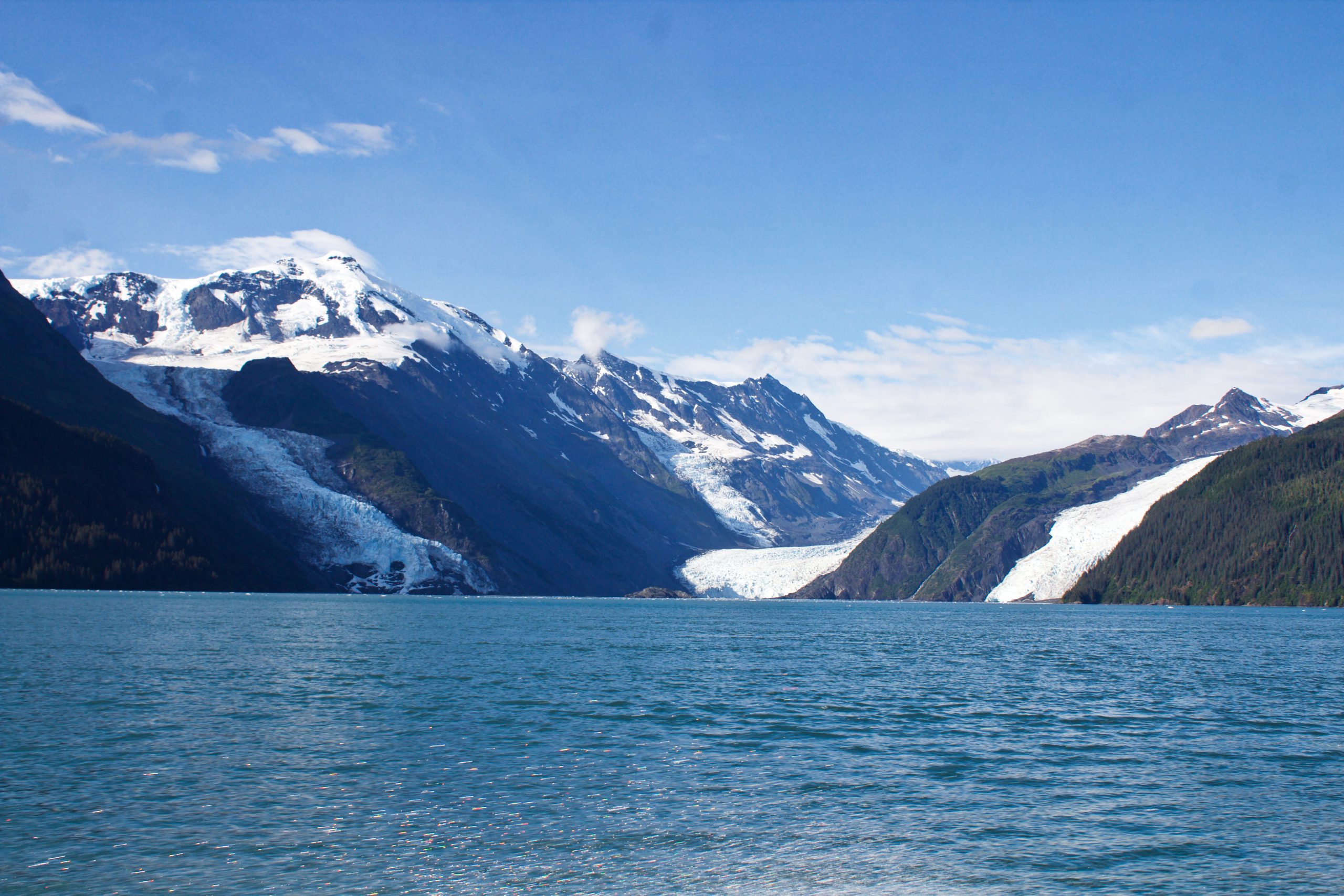
In May of 2020, local geologists identified a steep, unstable slope that has the potential to become a tsunami-generating landslide in Barry Arm, a glacial fjord 60 miles east of Anchorage, Alaska. With documented cases of tsunami-generating landslides in Alaska including Lituya Bay in 1958 and Taan Fjord in 2015, this new hazard immediately caught the attention of state and federal partners who quickly joined forces to quantify the risk to those living and boating in Alaska’s Prince William Sound, specifically the communities of Whittier, Valdez, Cordova, Tatitlek, and Chenega.
Continue reading “NOAA bathymetric data helps scientists more accurately model tsunami risk within Barry Arm”United States Coast Pilot® covering the Pacific now in two volumes
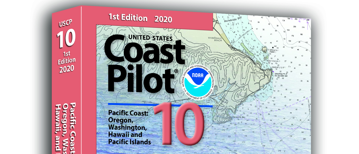
What is currently known as United States Coast Pilot® 7 was first published in 1903. The official published name was United States Coast Pilot—Pacific Coast California, Oregon and Washington. Content and information was inclusive of those three states. After Hawaii became a state in 1959, information on the Hawaiian Islands—including the long string of islands and atolls out to Midway Island—was incorporated into the newly titled United States Coast Pilot 7—Pacific Coast California, Oregon, Washington and Hawaii. In 1988, information originally maintained by the National Geospatial-Intelligence Agency under Publication 126 on the remote Pacific Islands (American Samoa, Guam and the Marianas) was added as a new chapter.
Continue reading “United States Coast Pilot® covering the Pacific now in two volumes”Register for NOAA Nav-cast webinar: How to obtain NOAA ENC-based paper nautical charts
Join us for our next NOAA Nav-cast, a quarterly webinar series that highlights the tools and trends of NOAA navigation services.
How to obtain NOAA ENC-based paper nautical charts after NOAA ends production of traditional paper charts
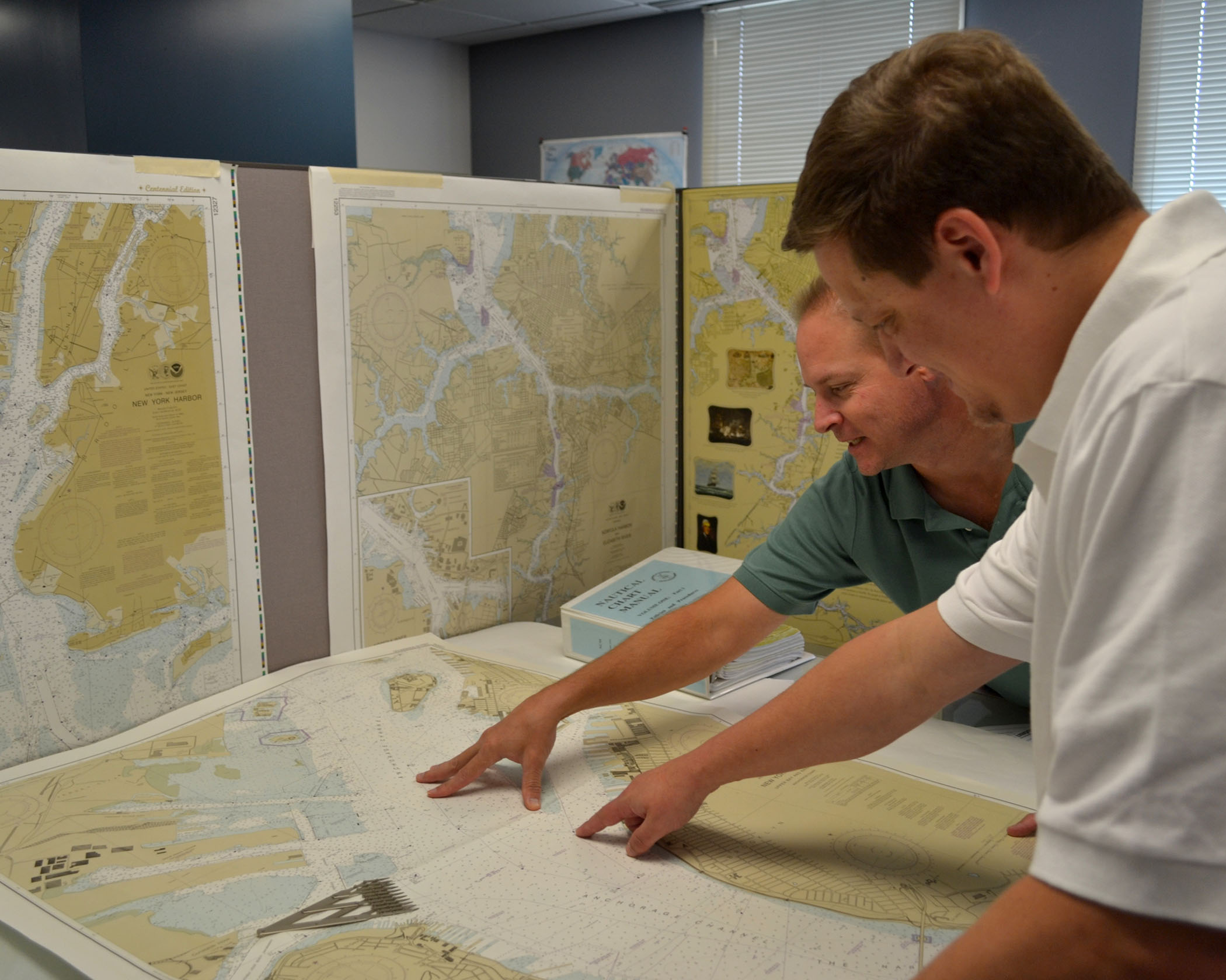
Recently, NOAA announced the start of a five-year process to end traditional paper nautical chart production. While NOAA is sunsetting its traditional nautical chart products, it is undertaking a major effort to improve the data consistency and provide larger scale coverage within its electronic navigational chart (NOAA ENC®) product suite. Over the next five years, NOAA will work to ease the transition to ENC-based products, such as providing access to paper chart products based on ENC data. The online NOAA Custom Chart prototype application enables users to create their own charts from the latest NOAA ENC data. Users may define the scale and paper size of custom-made nautical charts centered on a position of their choosing. Users may then download, view, and print the output. The application is an easy way to create a paper or digital backup for electronic chart systems.
This webcast will provide an overview of the sunsetting process and a live demonstration of the NOAA Custom Chart prototype, including a discussion of the improvements that are planned for the prototype.
Date and time: Thursday, January 9, 2020, at 2 p.m. (EST)
How to register: https://attendee.gotowebinar.com/register/7410207397804043779
NOAA seeks public comment on ending production of traditional paper nautical charts
NOAA is initiating a five-year process to end all traditional paper nautical chart production and is seeking the public’s feedback via a Federal Register Notice published on November 15, 2019. Chart users, companies that provide products and services based on NOAA raster and electronic navigational chart (NOAA ENC®) products, and other stakeholders can help shape the manner and timing in which the product sunsetting process will proceed. Comments may be submitted through NOAA’s online ASSIST feedback tool.
Continue reading “NOAA seeks public comment on ending production of traditional paper nautical charts”Hawaiian island surveys will update nautical charts and support habitat mapping efforts
By Ens. Lyle I. Robbins
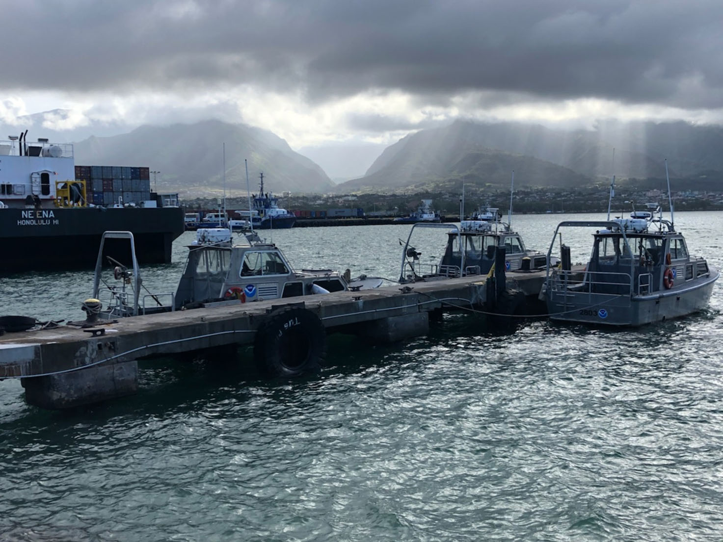
For more than 50 years, NOAA Ship Rainier and its hydrographic survey launches have surveyed the Pacific seafloor. During this time, Rainier sailed thousands of miles, including the entire U.S. west coast, Alaska, and Hawaii. This year, Rainier expands on its traditional role of hydrographic survey and is supporting dive operations in the Northwest Hawaiian Islands and in the Papahānaumokuākea Marine National Monument. While Rainier is sailing these remote coral atolls, the survey launches — that are usually in its davits and deployed directly from the ship — are tasked to their own surveys around the islands of Maui, Moloka’i, and O’ahu.
Continue reading “Hawaiian island surveys will update nautical charts and support habitat mapping efforts”NOAA releases new edition of nautical chart symbol guide
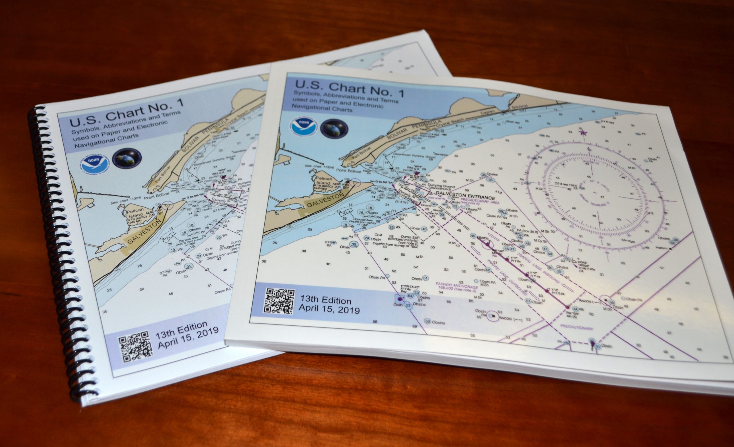
Edition 13 of U.S. Chart No. 1 is now available to download for free on Coast Survey’s website. Paper copies may also be purchased from any of four NOAA Chart No. 1 publishing agents.
This 130-page book describes the symbols, abbreviations, and terms used on paper NOAA nautical charts and for displaying NOAA electronic navigational chart (NOAA ENC®) data on Electronic Chart Display and Information Systems (ECDIS). The document also shows paper chart symbols used by the National Geospatial-Intelligence Agency and symbols specified by the International Hydrographic Organization.
Continue reading “NOAA releases new edition of nautical chart symbol guide”Tankers, Freighters, and….Kayaks?
It is not an exaggeration to say that ALL types of vessels use NOAA charts. We know that large commercial ships, such as tankers and freighters, rely on NOAA charts in U.S. waters, and for that matter, so do recreational boaters. But kayakers? Some of the most enthusiastic and appreciative comments we receive are sent to us by kayakers. The following are a few examples. Continue reading “Tankers, Freighters, and….Kayaks?”
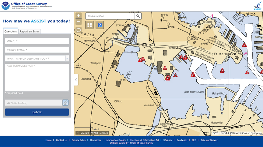
NOAA makes it easier to submit a comment or report a nautical chart error
On November 16, 2018, NOAA released ASSIST, a new system for submitting questions and reporting nautical chart errors to NOAA’s Office of Coast Survey. ASSIST has a mobile-friendly design and improved user interface that allows customers to access the system conveniently from any device. This new tool replaces Coast Survey’s Inquiry and Discrepancy Management System (IDMS), a database that collected nearly 20,000 comments, inquiries, and discrepancy reports since 2008. ASSIST is available from: https://www.nauticalcharts.noaa.gov/customer-service/assist/ Continue reading “NOAA makes it easier to submit a comment or report a nautical chart error”
NOAA hosts Navigation Industry Day 2018
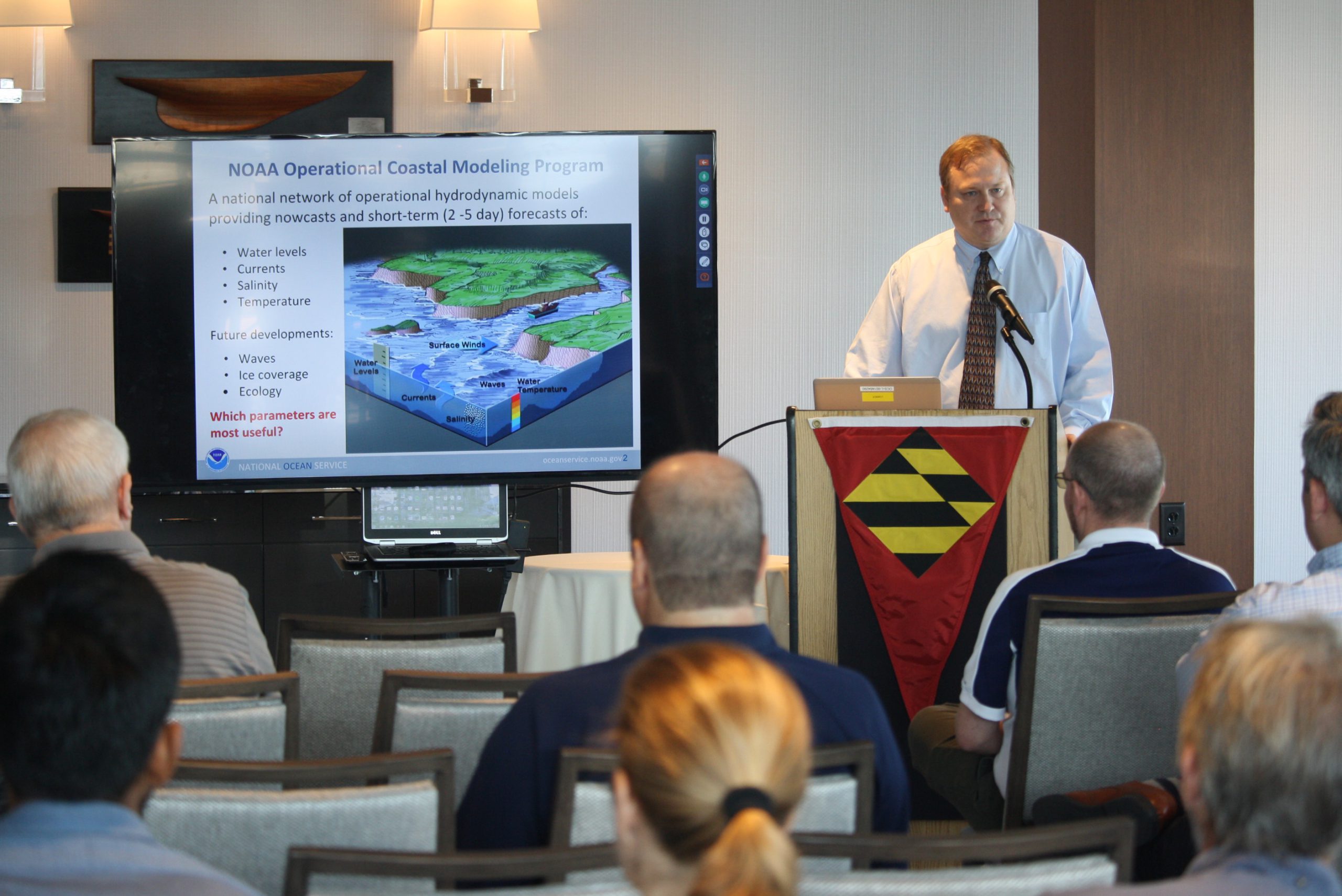
NOAA recently hosted its fourth NOAA Navigation Industry Day at the Annapolis Yacht Club adjacent to this year’s Annapolis Boat Show. This annual event welcomed maritime application and navigation system developers interested in learning about the latest freely-available navigation-related data streams, models, and products that NOAA offers. Continue reading “NOAA hosts Navigation Industry Day 2018”
NOAA announces launch of crowdsourced bathymetry database
By Lt. Cmdr. Adam Reed, Integrated Oceans and Coastal Mapping (IOCM) assistant coordinator
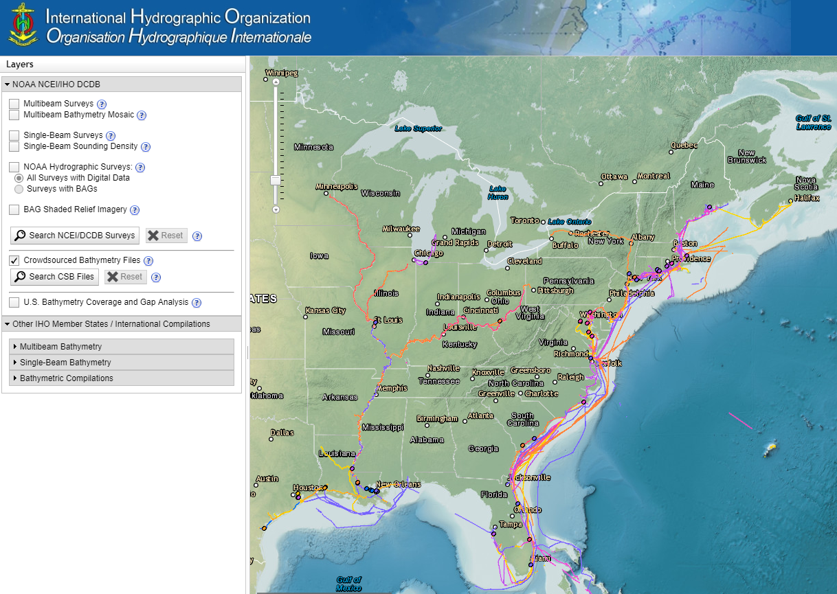
Today NOAA announces the end of a testing phase in the development of a new crowdsourced bathymetry database. Bathymetric observations and measurements from participants in citizen science and crowdsourced programs are now archived and made available to the public through the International Hydrographic Organization (IHO) Data Centre for Digital Bathymetry (DCDB) Data Viewer. The operationalized database allows free access to millions of ocean depth data points, and serves as a powerful source of information to improve navigational products.
Continue reading “NOAA announces launch of crowdsourced bathymetry database”

