By Ensign Max P. Andersen
Formed by retreating ice sheets over 14,000 years ago, the Great Lakes have long represented one of the most valuable fresh water resources in North America. They contain more than one-fifth of the world’s supply of fresh surface water, and the vast size is easily visible from space. From Native American hunting routes to French fur-trade exploration to influential battles in the War of 1812, the Lakes have proved a key platform for numerous historical events that shaped the development of the country.
Uniquely, these bodies of water served as the gateway to connect the booming production of an expanding population in the Midwest from 1825 to 1925. During this time, a broad range of wooden, sailing, and steam-powered ships trekked across the lakes, carrying coal, grain, and passengers. Due to unpredictable weather conditions, fire, ice, high-traffic areas, and an ever-increasing pressure to meet shipping quotas, hundreds of ships were lost in collisions and accidents. These incidents have earned this period the nickname “Shipwreck Century.” Today, the history of the “Shipwreck Century” is presented at Thunder Bay National Marine Sanctuary’s visitor’s center, the Great Lakes Maritime Heritage Center, in Alpena, Michigan.
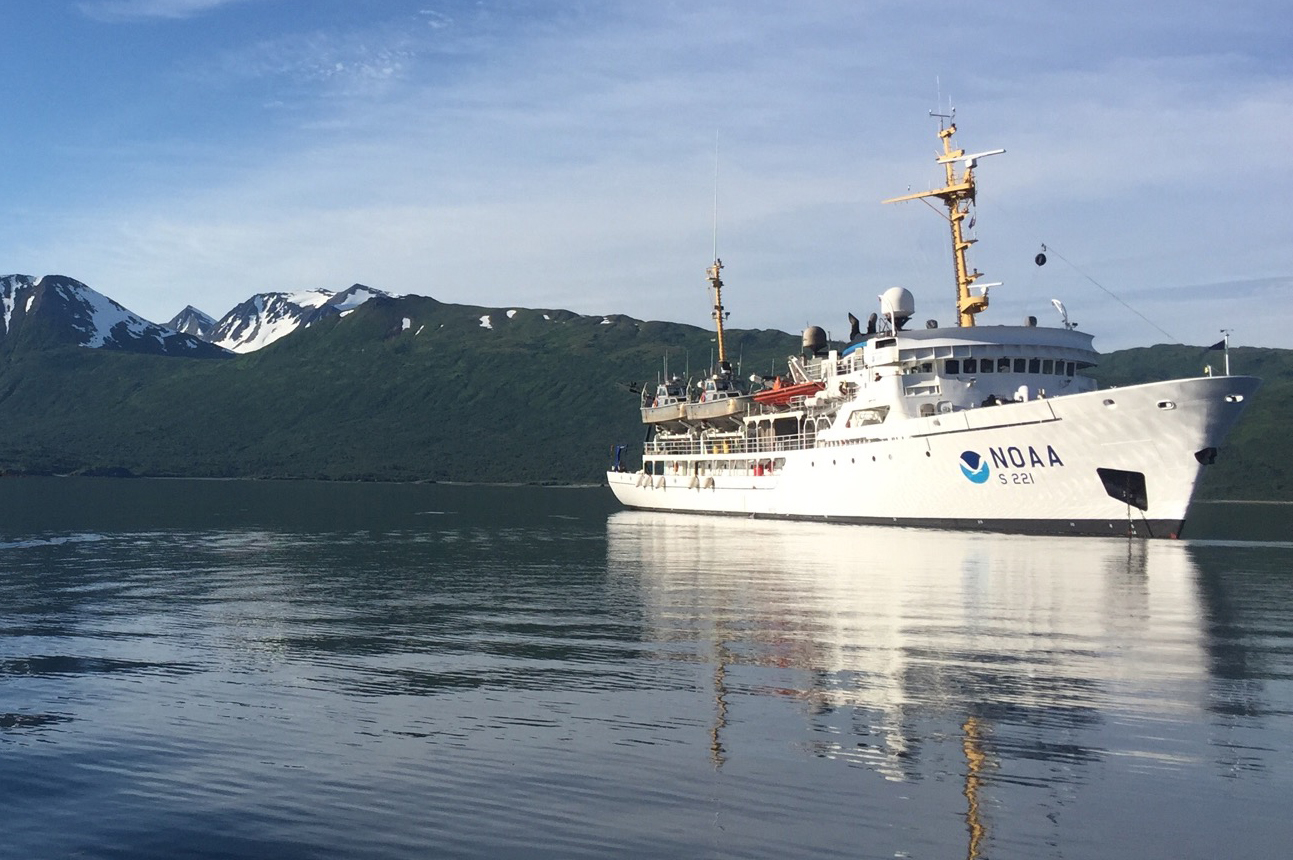
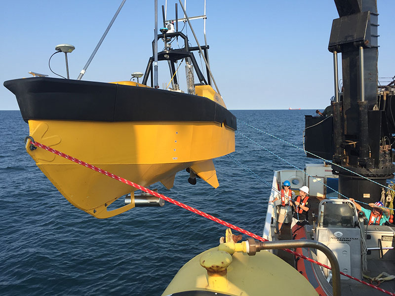
Thunder Bay is located in Lake Huron, near one of the most historically dangerous areas of navigation in the Great Lakes. The sanctuary covers 4,300 square miles. In this area, over 200 shipwrecks are known to exist, and 92 have been discovered and accurately charted. The staff provides continual archaeological monitoring to ensure the preservation of the sites.
Continue reading “Hydro on the Great Lakes: preserving American history”