By Lt. j.g. Michelle Levano

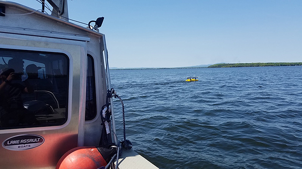
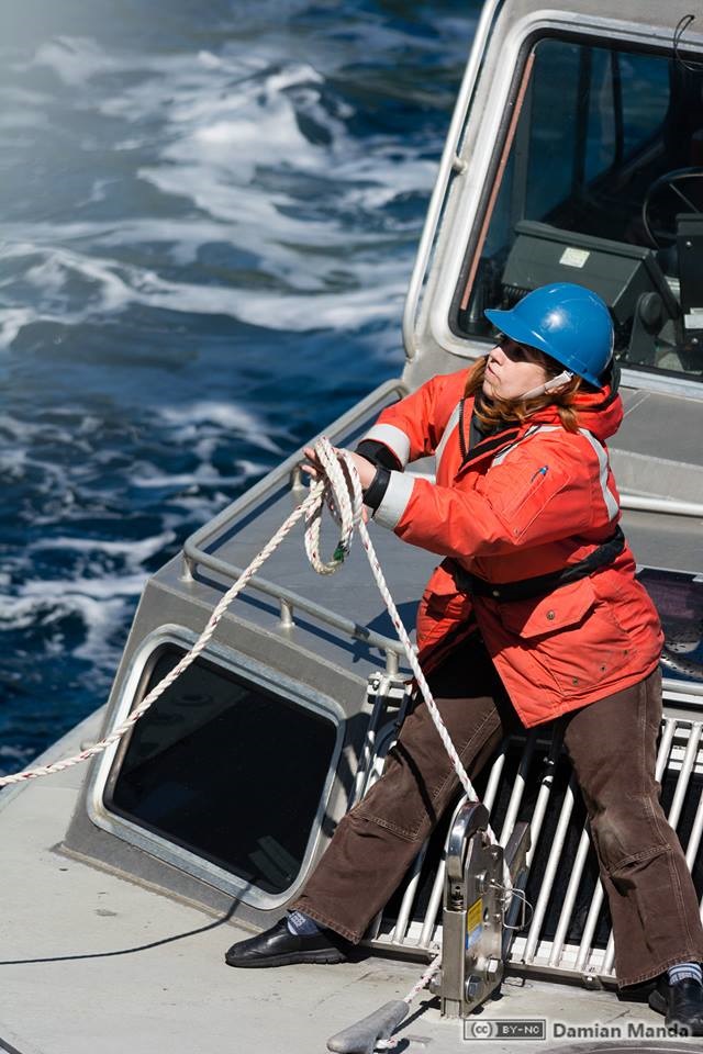
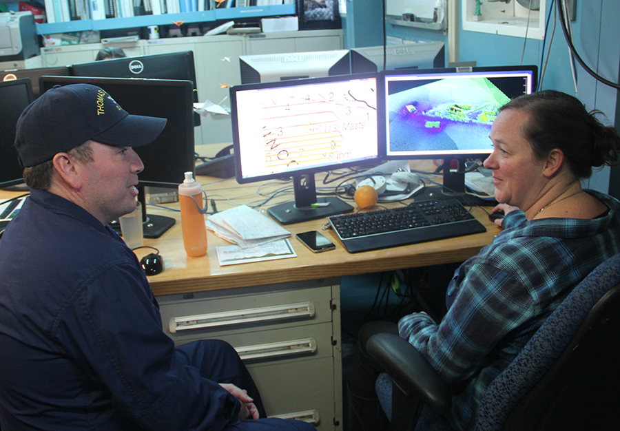
As NOAA Ship Rainier underwent repairs in South Seattle, the ship’s survey launches and their crews carried out a project to update nautical charts around the Port of Everett and its approaches in Possession Sound. The boats used state-of-the-art positioning and multibeam echo sounder systems to achieve full bottom coverage of the seafloor.
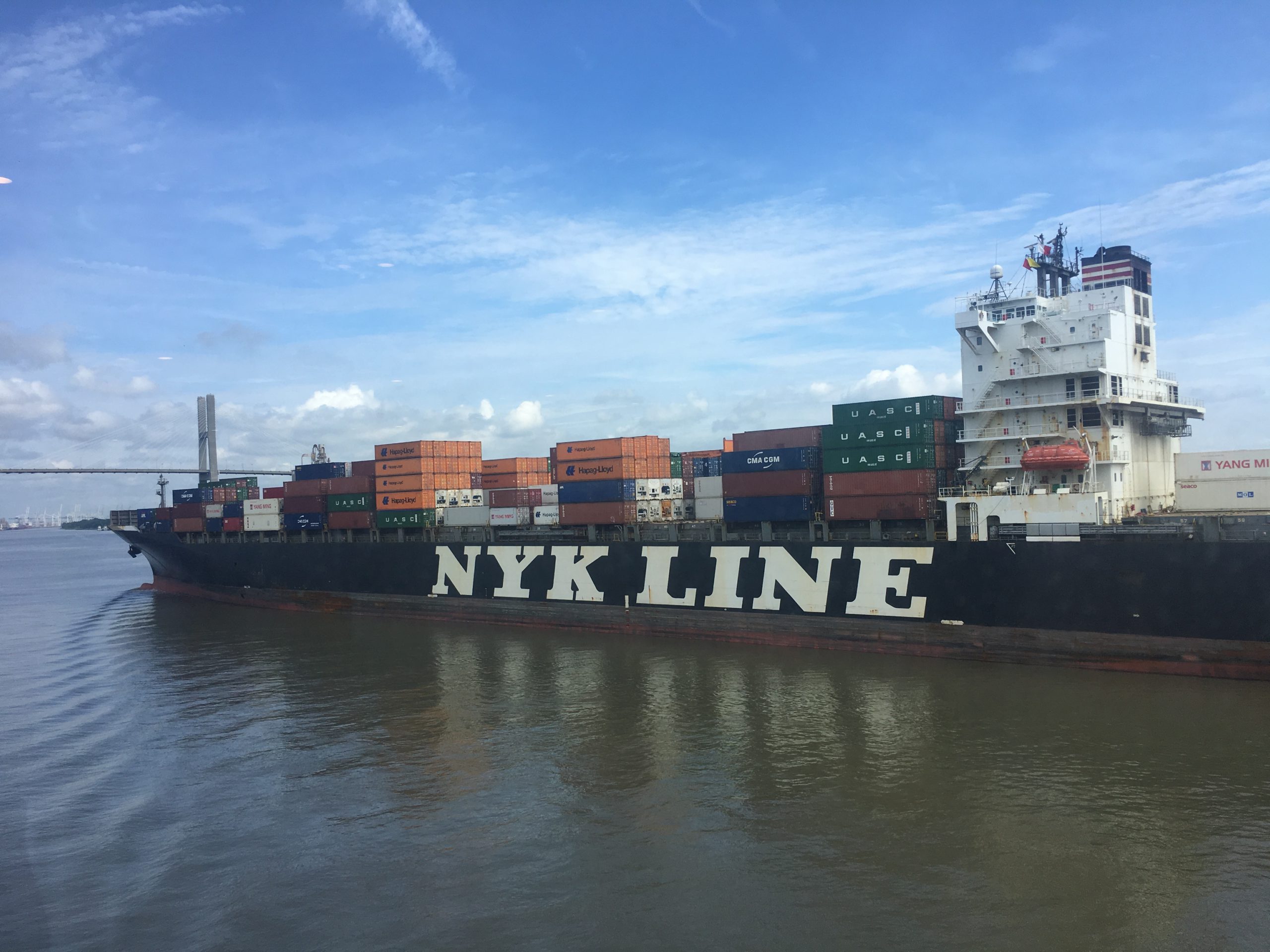
The ports of Seattle, Tacoma, and Everett have experienced an increase in vessel traffic and capacity within the last decade. The Port of Everett serves as an international shipping port bringing jobs, trade, and recreational opportunities to the city. Across Possession Sound, Naval Station Everett is the homeport for five guided-missile destroyers, and two U.S. Coast Guard cutters. The data collected from this project will support additional military traffic transiting to and from Naval Submarine Base Bangor in addition to the Washington State Ferries’ Mukilteo/Clinton ferry route, commercial and tribal fishing, and recreational boating in the area. Continue reading “Crew of NOAA Ship Rainier surveys Everett, Washington, to update charts”