“But, sir, what does the country want in the coast survey? They want a very useful work done, a very important work done, and they want it done in the best manner.” – U.S. Senator John Davis (MA), 1849, explaining the importance of the coast survey to safety and the U.S. economy during the 30th Congress, 2nd Session
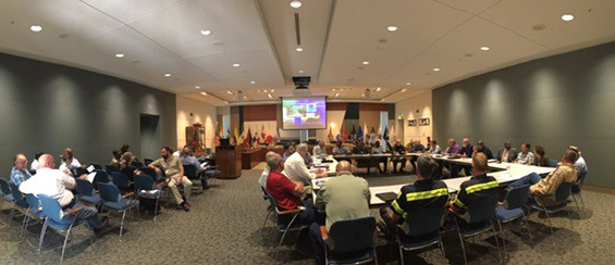
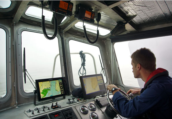
As the nation’s nautical chartmaker, NOAA Coast Survey provides critical emergency response information to coastal communities and waterways. Each year, Coast Survey prepares for hurricane season in order to perform the work in—as the late Senator Davis put it—“the best manner.” Last year’s string of powerful hurricanes underscored the importance of coordinated efforts for storm preparation, response, and recovery. With the official start of the 2018 hurricane season just around the corner, Coast Survey’s regional navigation managers spent the large part of April and May meeting with U.S. Coast Guard (USCG), port authorities, NOAA National Weather Service, and communities to prepare emergency response capabilities. Continue reading “Coast Survey prepares to serve nation during 2018 hurricane season”
Poster symposium marks milestone for inaugural class of the NOAA certification program in nautical cartography

Students of NOAA’s certification program in nautical cartography completed their final projects and presented them along with other Master of Professional Studies in GIS students during a poster symposium at the University of Maryland’s Department of Geographical Sciences. At the event, NOAA students explained their capstone projects and described how their research benefits nautical charting at NOAA. Project topics included:
- Improving Shoreline Application to NOAA Electronic Navigational Charts, Megan Bartlet
- An Automated Approach to Generate Nautical Vector Features from Raster Bathymetric Attributed Grid Data, Noel Dyer
- Developing a Rasterization Procedure for Vector Chart Data, Christie Ence
- NOAA Chart Discrepancies: A Temporal and Spatial Analysis for Navigation Response Teams, Lt. Cmdr. Matt Forney
- Airborne Lidar Bathymetry’s Impact on NOAA Charts, Andres Garrido
- Validating and Refining the Proposed Rescheming of NOAA Electronic Navigational Charts, Colby Harmon
- High Resolution Bathymetry as an Alternative to Charting Controlling Depths in U.S. Army Corps of Engineers Channels, Craig Winn
- Satellite Derived Bathymetry: An Alternative Analysis to Nautical Chart Updates, Aleah Worthem
NOAA makes forecast data easier to display in marine navigation systems
By Neil Weston, Office of Coast Survey Technical Director
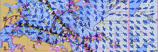
Have you ever been on the water when weather and sea conditions suddenly change? As mariners can attest, decisions need to be made quickly. Many rely on NOAA operational forecast system (OFS) data—a national network of nowcast and forecast models—to make decisions about their situation on the water. NOAA OFS are available to the mariner as data streams through a variety of websites, including nowCOAST™. However, only recently has OFS data been viewable on marine navigation systems, making it even more convenient for those needing to make critical decisions on the water.
Continue reading “NOAA makes forecast data easier to display in marine navigation systems”
NOAA adds grid overlay to chart anchorage areas in Port of New York and New Jersey
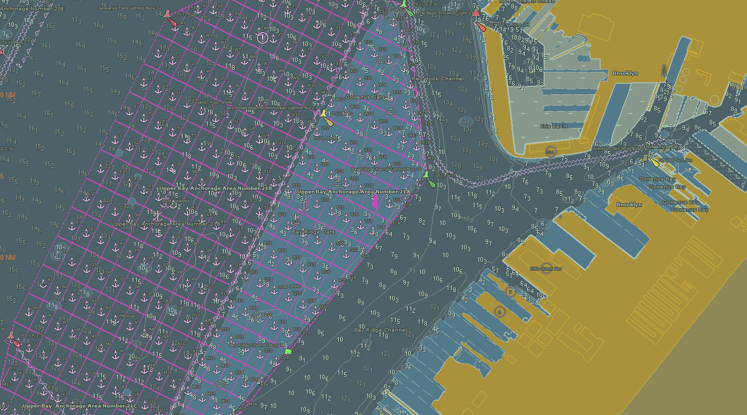
NOAA Coast Survey recently released updates for two NOAA electronic navigational charts (NOAA ENC®) in the Port of New York and New Jersey, which added a permanent grid system overlay to anchorages in Bay Ridge, Graves End, and Stapleton. Coast Survey performed the update at the request of the Harbor Operations Steering Committee and collaborated with the Sandy Hook Pilots Association and U.S. Coast Guard (USCG) Sector New York’s Vessel Traffic Services (VTS).
Continue reading “NOAA adds grid overlay to chart anchorage areas in Port of New York and New Jersey”
NOAA mobile integrated survey team prepares for hurricane season
NOAA’s Office of Coast Survey is the federal leader in emergency hydrographic response. Consecutive strong storms during the 2017 hurricane season made response efforts challenging, and emphasized the importance of having a well-trained and versatile staff. Coast Survey’s regional navigation managers, navigation response teams (NRTs), and mobile integrated survey team (MIST) worked with partners before and after the storms to quickly and safely reopen ports and waterways.
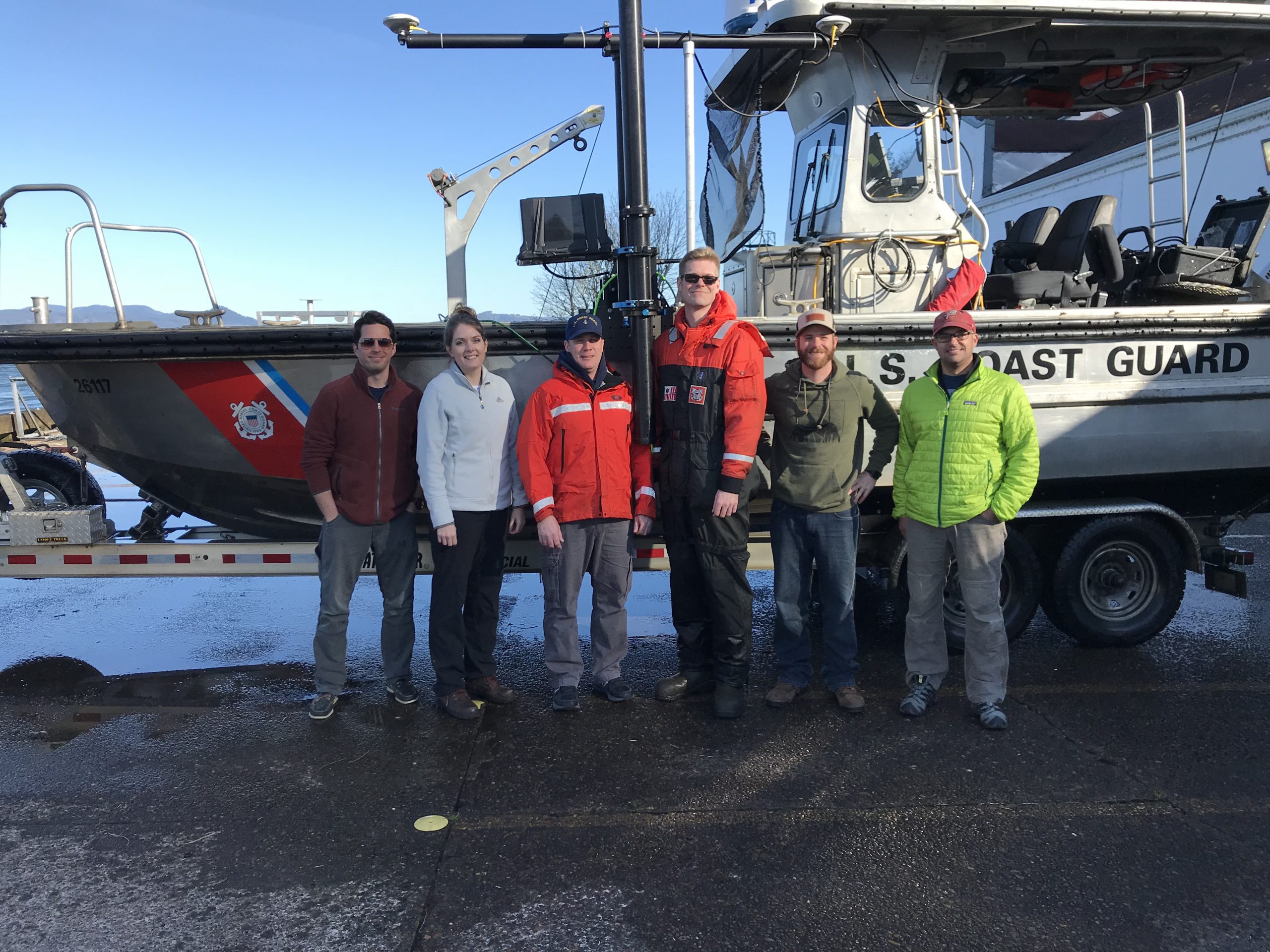
The MIST equipment is a mobile, quick-install side scan and single beam sonar kit that can be quickly set up on a vessel of opportunity. Recently, Coast Survey sent the MIST team to Astoria, Oregon to conduct a hydrographic survey of the Mott Basin area, which the U.S. Coast Guard (USCG) requested to confirm charted depth and obstruction data. Continue reading “NOAA mobile integrated survey team prepares for hurricane season”
NOAA releases documentary on women’s service in the NOAA Corps
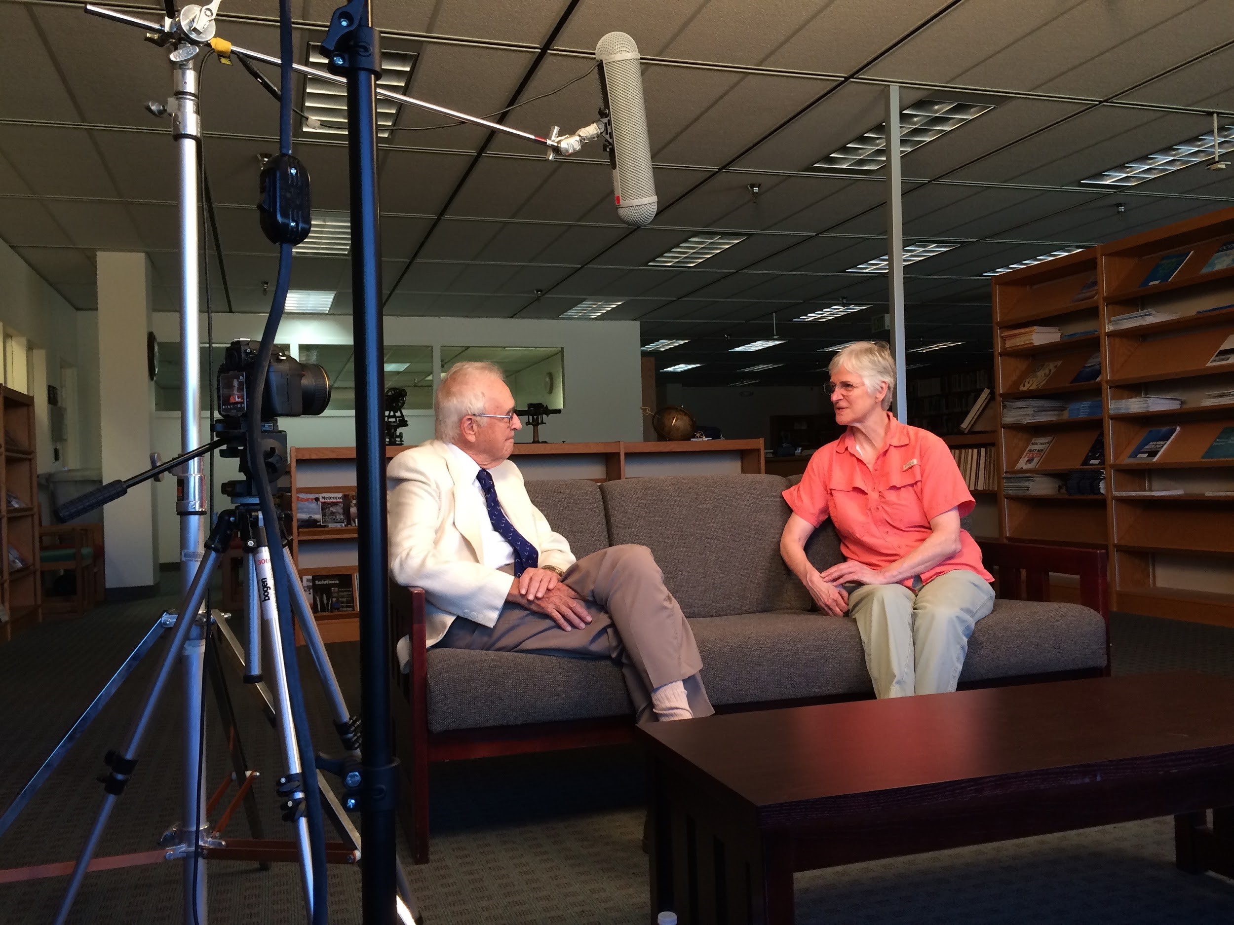
As Women’s History Month draws to a close, NOAA announces the release of Women of the NOAA Corps: Reflections from Sea and Sky, a documentary that highlights the important role women play in the NOAA Commissioned Officer Corps.
Continue reading “NOAA releases documentary on women’s service in the NOAA Corps”
NOAA navigation response team investigates hazardous shoal off Rockaway Point, NY
Recently, NOAA navigation response team 5 (NRT5), responded to a survey request from U.S. Coast Guard (USCG) Sector New York following several groundings near Rockaway Point in Queens, New York. Waves and currents often influence the size and shape of nearshore sandbars, and the USCG was concerned that a sandbar may have expanded beyond the area depicted on the nautical chart. Lt. j.g. Dylan Kosten, Eli Smith, and Michael Bloom traveled from New London, Connecticut, to Jersey City, New Jersey, to launch their vessel and start the survey of the area.
Continue reading “NOAA navigation response team investigates hazardous shoal off Rockaway Point, NY”
NOAA ships Fairweather and Rainier mark 50 years of service and survey
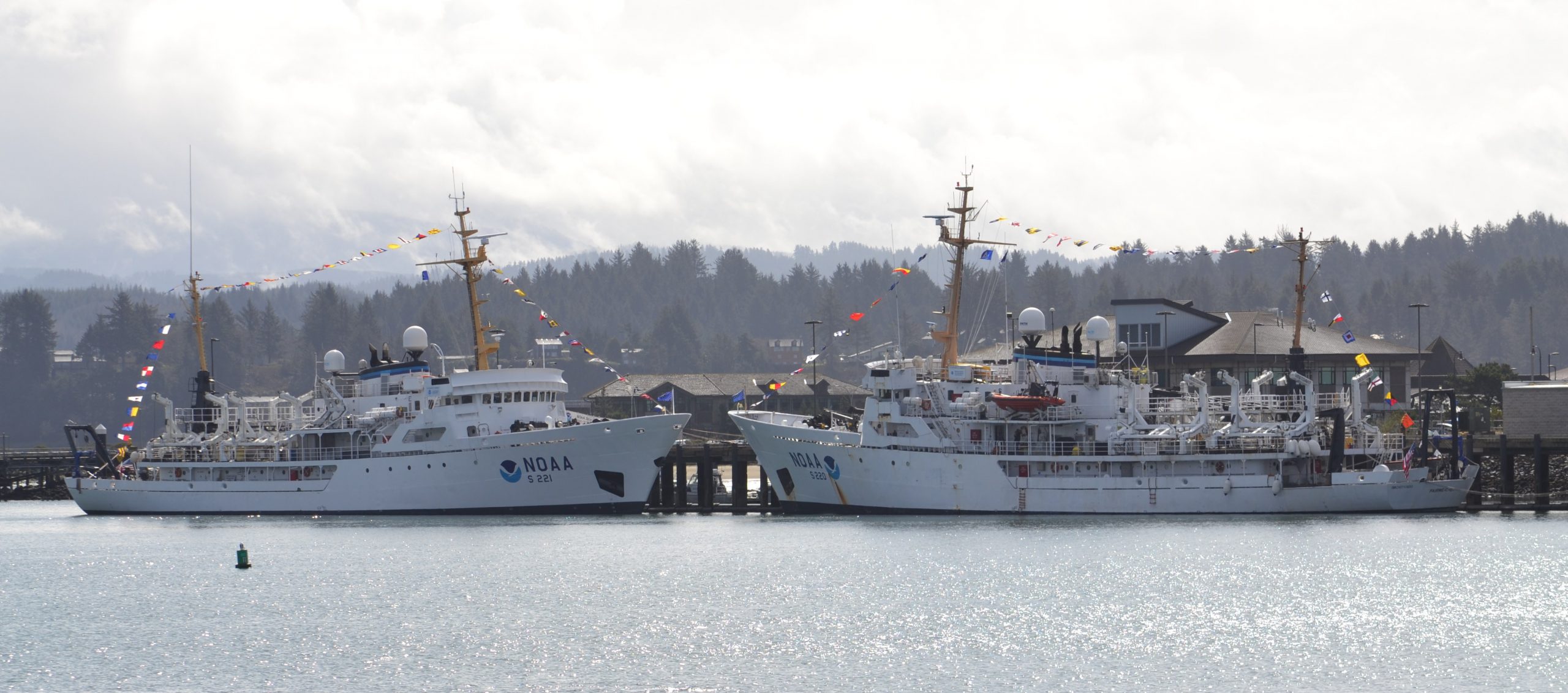
To recognize the successful history of NOAA ships Fairweather and Rainier, as well as the professional mariners, hydrographers, and commissioned officers who have served aboard these ships for the last 50 years, NOAA hosted a ceremony and public ship tours at the Marine Operations Center – Pacific (MOC-P) in Newport, Oregon. Continue reading “NOAA ships Fairweather and Rainier mark 50 years of service and survey”
NOAA quickly updates nautical chart, allowing large ships to dock with confidence in Port Everglades
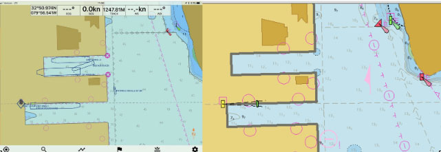
NOAA’s Office of Coast Survey quickly updated NOAA electronic navigational charts (NOAA ENC®) to accurately reflect the 225 foot expansion of a slip in Port Everglades, Florida. Now at a total length of 1,125 feet, the elongated slip allows larger ships to dock with confidence. The Port Everglades Pilots – maritime pilots who maneuver ships through crowded harbors and confined waters – requested the chart update. With ENCs that accurately reflect the slip expansion in their hands, pilots can easily communicate to vessel captains that it is safe to dock their vessels in the slip.
Port Everglades is one of the top three cruise ports in the world, and is among the most active cargo ports in the United States. Every slip is kept in high use, and Coast Survey used a new data process that allowed the most critical and valuable information to be applied quickly and made available to the end user. Continue reading “NOAA quickly updates nautical chart, allowing large ships to dock with confidence in Port Everglades”
Echo sounder encounter: NOAA Ship Rainier finds uncharted shipwreck
By Katy Pridgen
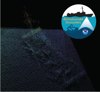
In late spring, while surveying off the coast of Long Island in Kodiak, Alaska, NOAA Ship Rainier found an uncharted shipwreck. Although rocks around the shipwreck were previously charted, this sunken vessel is a new feature. What made the find unique was how the top of wreck’s mast resembled a yellow light at the water’s surface. The Rainier crew fondly nicknamed it “ET’s finger.” Continue reading “Echo sounder encounter: NOAA Ship Rainier finds uncharted shipwreck”

