Register for NOAA Nav-cast webinar: How to obtain NOAA ENC-based paper nautical charts

Join us for our next NOAA Nav-cast, a quarterly webinar series that highlights the tools and trends of NOAA navigation services.

How to obtain NOAA ENC-based paper nautical charts after NOAA ends production of traditional paper charts

Recently, NOAA announced the start of a five-year process to end traditional paper nautical chart production.  While NOAA is sunsetting its traditional nautical chart products, it is undertaking a major effort to improve the data consistency and provide larger scale coverage within its electronic navigational chart (NOAA ENC®) product suite. Over the next five years, NOAA will work to ease the transition to ENC-based products, such as providing access to paper chart products based on ENC data. The online NOAA Custom Chart prototype application enables users to create their own charts from the latest NOAA ENC data. Users may define the scale and paper size of custom-made nautical charts centered on a position of their choosing. Users may then download, view, and print the output. The application is an easy way to create a paper or digital backup for electronic chart systems.

This webcast will provide an overview of the sunsetting process and a live demonstration of the NOAA Custom Chart prototype, including a discussion of the improvements that are planned for the prototype.

Date and time: Thursday, January 9, 2020, at 2 p.m. (EST)
How to register:  https://attendee.gotowebinar.com/register/7410207397804043779

NOAA seeks public comment on ending production of traditional paper nautical charts

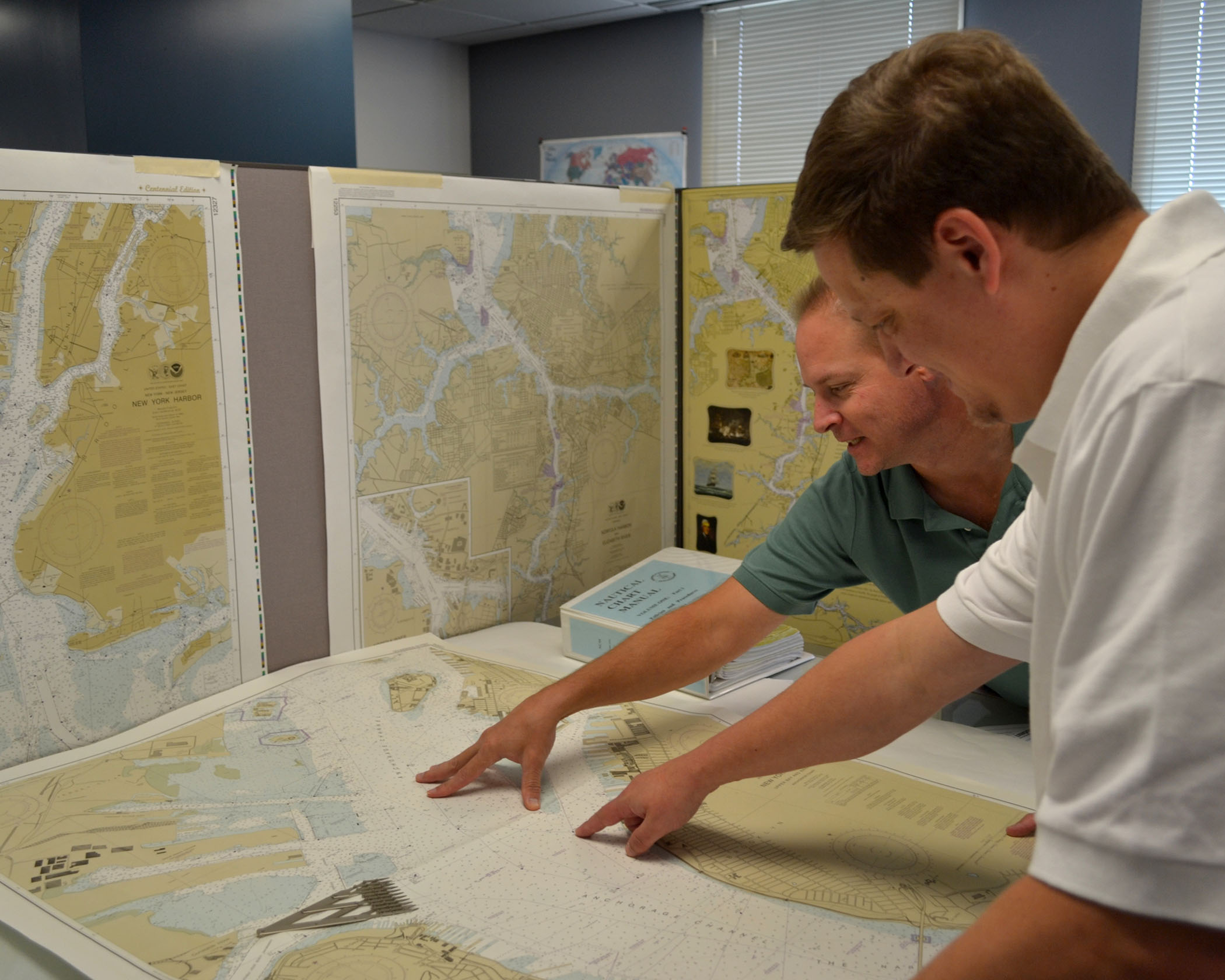
NOAA cartographers review a traditional printed nautical chart.

NOAA is initiating a five-year process to end all traditional paper nautical chart production and is seeking the public’s feedback via a Federal Register Notice published on November 15, 2019. Chart users, companies that provide products and services based on NOAA raster and electronic navigational chart (NOAA ENC®) products, and other stakeholders can help shape the manner and timing in which the product sunsetting process will proceed. Comments may be submitted through NOAA’s online ASSIST feedback tool.

Continue reading “NOAA seeks public comment on ending production of traditional paper nautical charts”

Register for NOAA Nav-cast webinar: NOAA’s nowCOAST

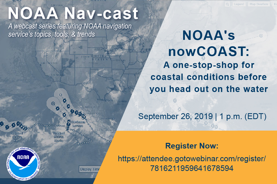
Image announcing Nav-cast webinar.

UPDATE: The Nav-cast scheduled for 9/26 at 1 p.m. (EDT) is cancelled and will be rescheduled at a later date. We apologize for the inconvenience.

Join us for our next NOAA Nav-cast, a quarterly webinar series that highlights the tools and trends of NOAA navigation services.

NOAA’s nowCOAST: A one-stop-shop for coastal conditions before you head out on the water

NOAA’s nowCOAST (nowcoast.noaa.gov) — a free online interactive map viewer —provides situational awareness on present and future weather and oceanographic conditions for mariners and other coastal users by integrating data from across NOAA and regional observing systems. Users can assess present conditions by creating maps of the latest in-situ weather/marine weather observations, weather radar mosaics, cloud images from GOES weather satellites, and surface wind and sea-surface temperature analyses for the last few hours. Users can also obtain maps of critical weather/marine weather advisories, watches, and warnings, weather forecasts, tropical cyclone track and intensity forecasts, and forecast guidance of water levels, water temperature, salinity, and currents from NOAA oceanographic forecast models.  Users can display these maps using the nowCOAST map viewer or by connecting to its map services. nowCOAST operates in a high-availability hosting facility and is monitored 24 x 7.

Continue reading “Register for NOAA Nav-cast webinar: NOAA’s nowCOAST”

S-100 sea trials: working toward harmonized navigation products

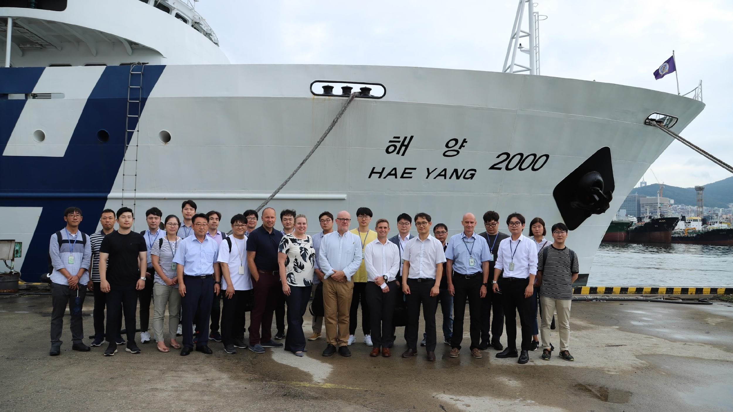
International team participating in the S-100 sea trial.

By Julia Powell, deputy division chief of the Coast Survey Development Lab

On August 27, an international contingent from the United States (NOAA), the United Kingdom Hydrographic Office, and the Canadian Hydrographic Service participated in the S-100 sea trial in Busan, Republic of Korea.

S-100 is the International Hydrographic Organization’s (IHO) Universal Hydrographic Data Model’s framework standard from which a variety of product specifications can be developed for use within navigation systems and marine spatial data infrastructure.  For many years, NOAA and the Ministry of Fisheries of the Republic of Korea have had a Joint Project Agreement and one of the projects is to develop and promote and S-100 test bed.  This test bed is designed to help further the development of S-100 infrastructure used to develop S-100 related products and further the testing of S-100 interoperability within navigation systems.

Continue reading “S-100 sea trials: working toward harmonized navigation products”

NOAA hosts 2019 Nautical Cartography Open House and Chart Adequacy Workshop

Sean Legeer shows a digital cartography display to visiting students.

Last week, NOAA’s Office of Coast Survey held its third annual Nautical Cartography Open House welcoming over 250 attendees from the U.S. and abroad. Government agencies, industry and academic partners, and members of the public attended. The open house featured posters, presentations, tours, and exhibits centered around four themes: Bathymetric Databases, Custom Charting, Innovative Cartography, and Precision Navigation. Dr. Shachak Pe’eri, organizer of the event and chief of the Cartographic Support Branch in the Marine Chart Division, welcomed attendees in the morning and John Nyberg, chief of the Marine Chart Division, gave the keynote speech.

Continue reading “NOAA hosts 2019 Nautical Cartography Open House and Chart Adequacy Workshop”

NOAA releases 2019 hydrographic survey plans

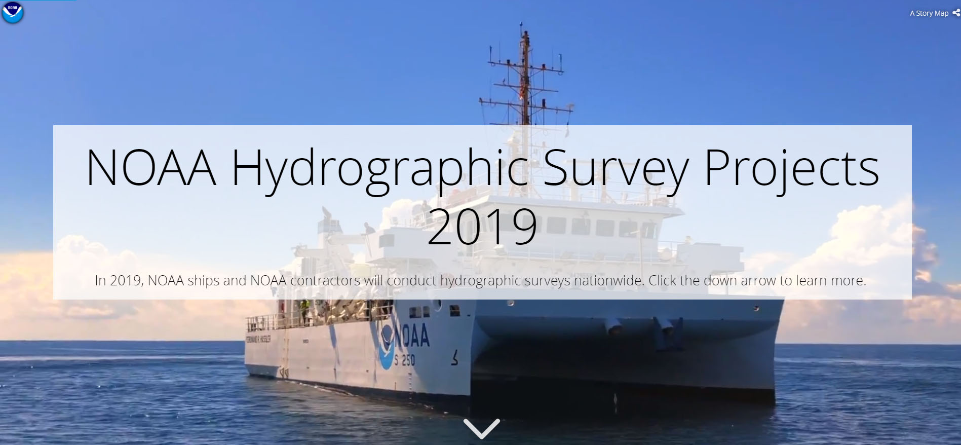
NOAA Hydrographic Survey Projects 2019 story map cover

NOAA’s Office of Coast Survey is the nation’s nautical chartmaker, and maintains a suite of more than a thousand nautical charts. Coast Survey is responsible for charting U.S. waters and Great Lakes covering 3.4 million square nautical miles (SNM) of water and 95,000 miles of coastline.

NOAA’s hydrographic survey ships along with hydrographic contractor vessels, recently kicked off the 2019 hydrographic survey season. These surveys not only update the suite of nautical charts, but also help to maintain the safety of maritime commerce, recreational boaters, natural ecosystems, and much more. Operations are scheduled for maritime priority areas around the country and are outlined in Coast Survey’s “living” story map. Here is a list of where they are headed this year:

Continue reading “NOAA releases 2019 hydrographic survey plans”

NOAA releases new edition of nautical chart symbol guide

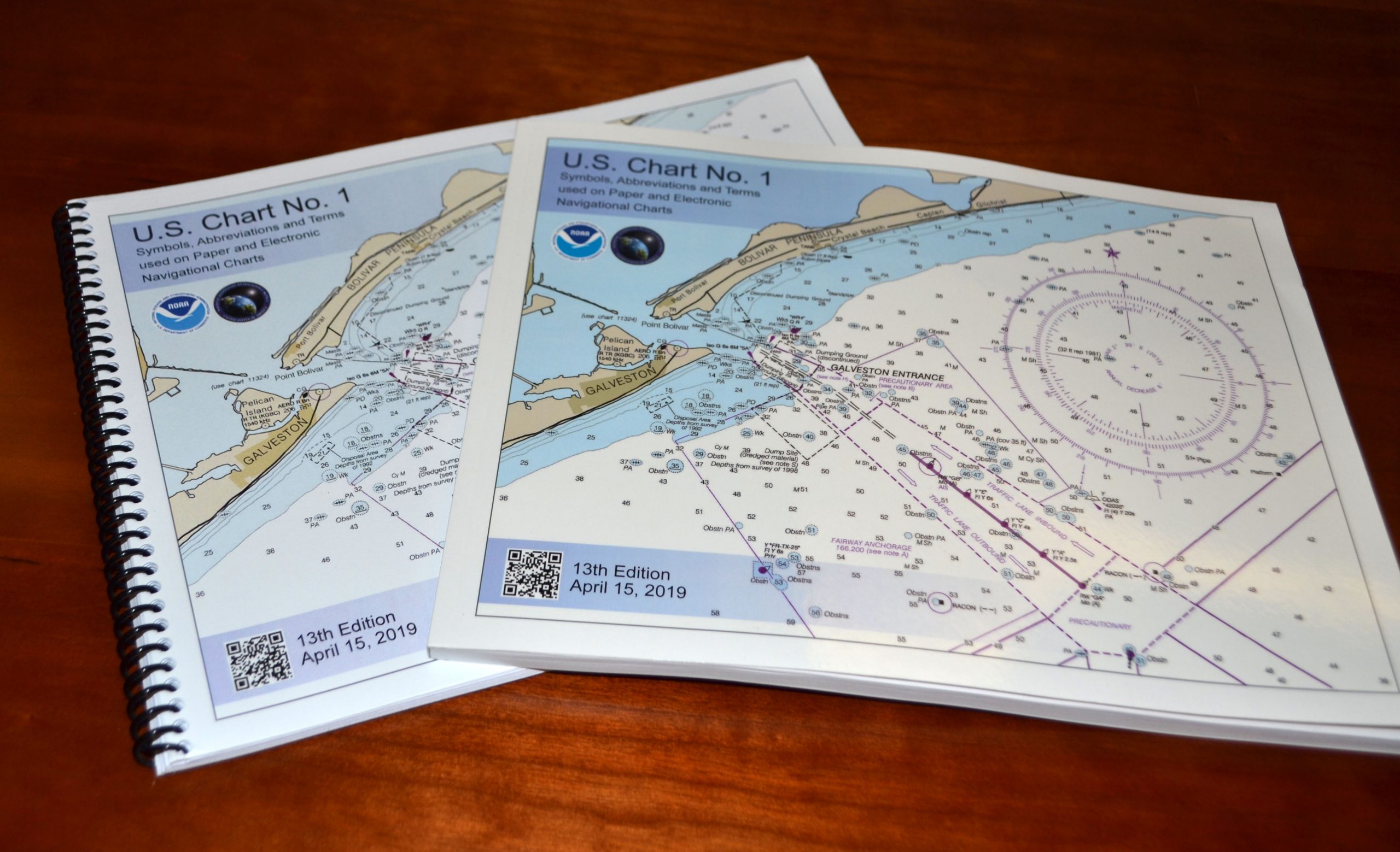
U.S. Chart No. 1 booklet covers

Edition 13 of U.S. Chart No. 1 is now available to download for free on Coast Survey’s website. Paper copies may also be purchased from any of four NOAA Chart No. 1 publishing agents.

This 130-page book describes the symbols, abbreviations, and terms used on paper  NOAA nautical charts and for displaying NOAA electronic navigational chart (NOAA ENC®) data on Electronic Chart Display and Information Systems (ECDIS). The document also shows paper chart symbols used by the National Geospatial-Intelligence Agency and symbols specified by the International Hydrographic Organization.

Continue reading “NOAA releases new edition of nautical chart symbol guide”

NOAA encourages all mariners to use NOAA ENC® for latest updates and other advantages

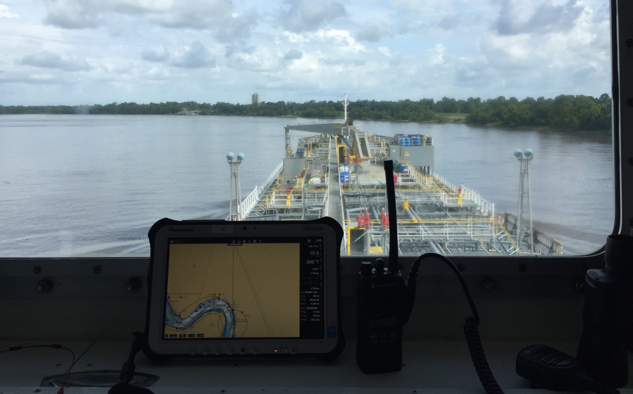
ECDIS display on the bridge of a tanker ship.

NOAA’s Office of Coast Survey maintains a suite of over 1,000 NOAA electronic navigational charts (ENC) and paper nautical charts, and like many other chart producing nations, maintains an ENC focused production process called “ENC-first.” That is, ENCs are the “first” or primary nautical product, and new data is compiled onto ENCs before all other products.

Continue reading “NOAA encourages all mariners to use NOAA ENC® for latest updates and other advantages”

U.S. Coast Pilot® now contains Navigation Rules

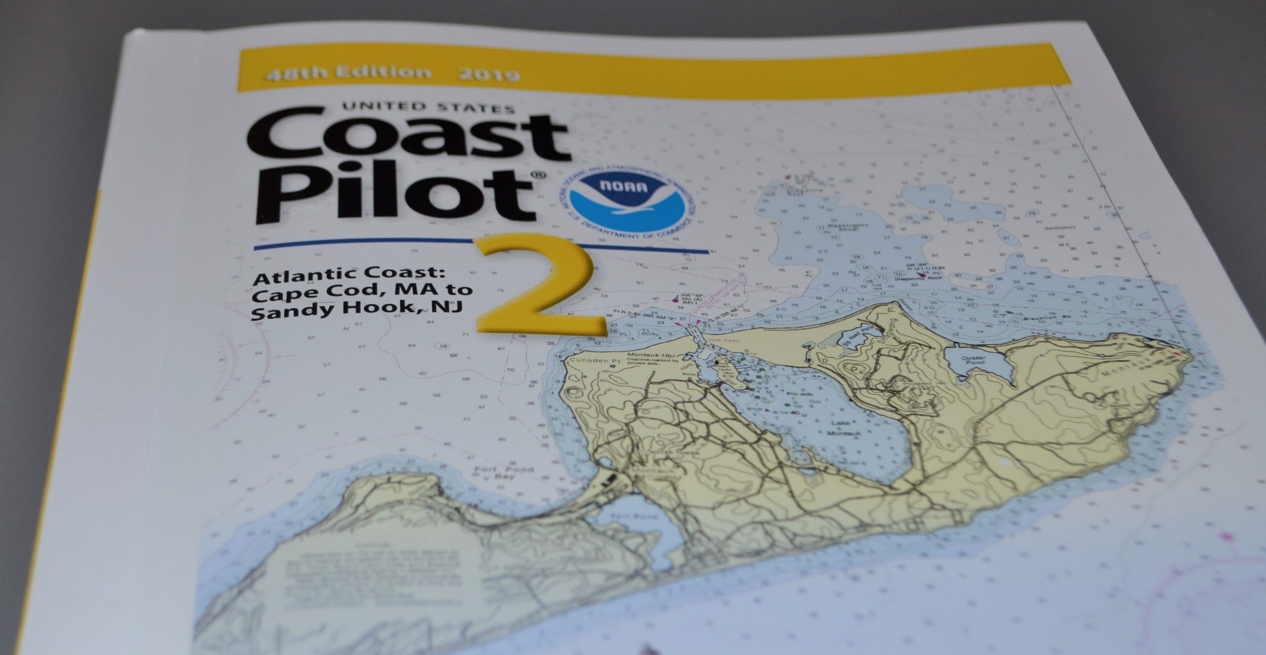
NOAA recently announced that all nine United States Coast Pilot®  volumes now contain the U.S. Coast Guard International Regulations for the Prevention of Collisions at Sea (72 COLREGS) and the Inland Navigation Rules — commonly known as the “Rules of the Road.” The navigation rules are similar to rules on the highway as they present a consistent way to navigate safely and avoid collisions. Having the newly published Coast Pilot now fulfills the legal requirement for mariners to maintain a copy of these regulations on board.

Continue reading “U.S. Coast Pilot® now contains Navigation Rules”