NOAA Coast Survey’s new strategy supports charting mandates and broader seafloor mapping

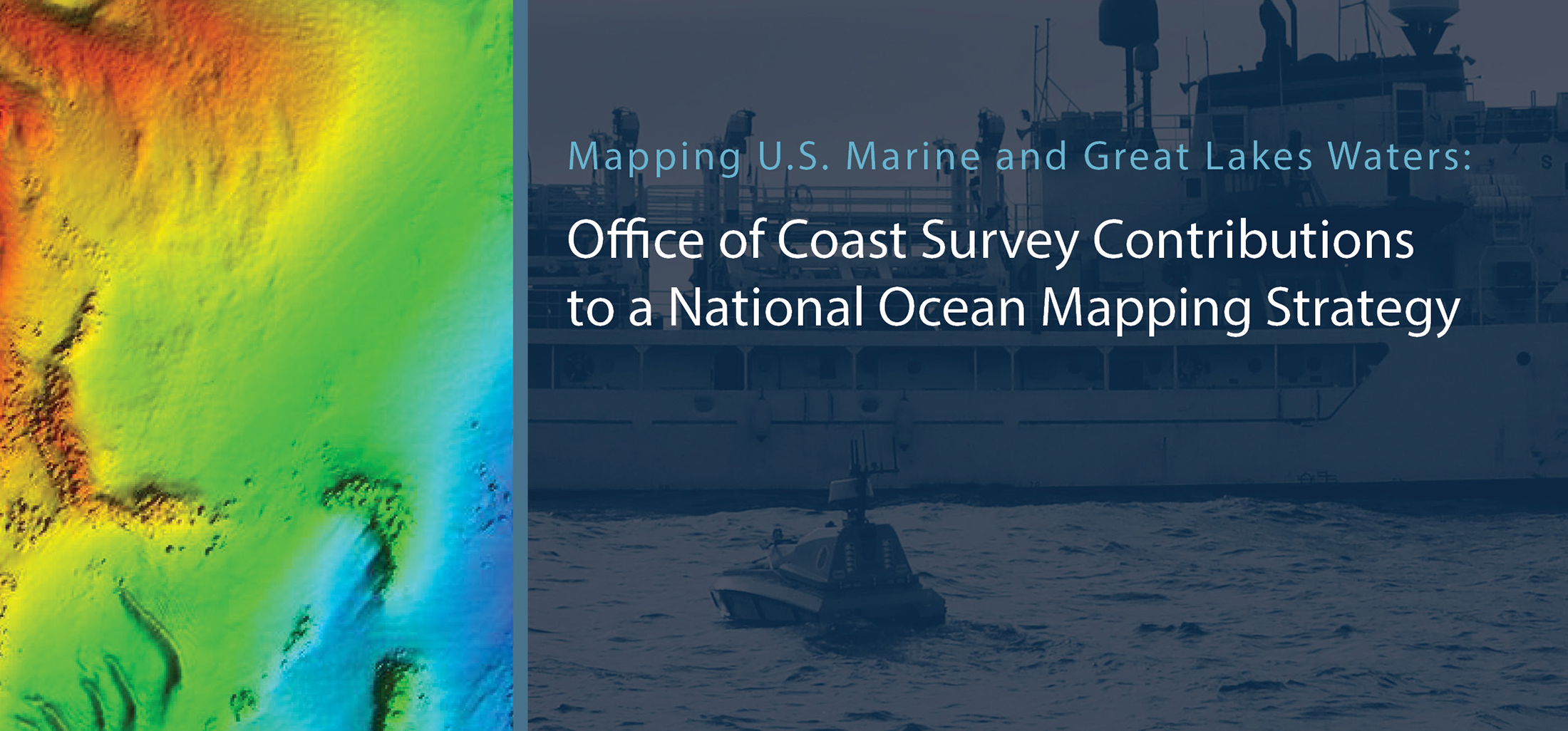
This week, NOAA’s Office of Coast Survey released the Mapping U.S. Marine and Great Lakes Waters: Office of Coast Survey Contributions to a National Ocean Mapping Strategy. This report is part of NOAA’s ongoing commitment to meet core surveying and nautical charting mandates while supporting broader needs to fill gaps in seafloor mapping and environmental sciences.

Continue reading “NOAA Coast Survey’s new strategy supports charting mandates and broader seafloor mapping”

NOAA releases prototype surface current forecast data for industry testing

portable pilot unit on the bridge of a ship

Prototype data for surface current forecasts in the International Hydrographic Organization (IHO) S-111 format is now available for testing through the NOAA Big Data Program. In June, NOAA announced that we were preparing surface current forecast data for dissemination trials. Now that these data are available, industry can integrate these prototype data into different types of navigation software systems such as portable pilot units and under keel clearance systems. By making these data more accessible, more machine-to-machine readable, and more integrated, NOAA aims to amplify the power of our navigation data for users across the maritime industry.    

Continue reading “NOAA releases prototype surface current forecast data for industry testing”

High-definition charts advance precision marine navigation

Vessel entering the port of Long Beach, California.

By Craig Winn, HD charting portfolio manager

For large vessels entering port where there is next to zero margin for error, pilots and shipmasters are looking for the highest resolution data available to help them navigate these tight spaces safely and efficiently. NOAA’s Office of Coast Survey recently constructed and released 16 high-definition (HD), band 6 (or berthing scale) electronic navigational charts for Los Angeles/Long Beach Harbor, providing mariners with the best charts available to do their job.

Continue reading “High-definition charts advance precision marine navigation”

A message to hydrographers: Your time is now

A global view of mapped and unmapped portions of the world ocean.

By Rear Adm. Shep Smith, Director of NOAA’s Office of Coast Survey

There has never been a better time to be a hydrographer. Our skills, data, and technology are in high demand globally, driven by an increased emphasis both on supporting the blue economy and of protecting the ocean upon which all life on earth depends. The UN declared this decade the “Decade of Ocean Science for Sustainable Development,” and that vision specifically calls out the need to map the world’s oceans. The Nippon Foundation has breathed new energy into the century-long project to create a General Bathymetric Chart of the Oceans (GEBCO) with a supporting campaign called Seabed 2030. Hydrography is now invaluable for habitat mapping, for mineral and energy exploration, for offshore wind development, and for ocean modeling supporting everything from predicting local harmful algal blooms to understanding the earth system itself at a global scale.

Continue reading “A message to hydrographers: Your time is now”

NOAA seeks industry feedback as it begins testing the Precision Navigation Data Dissemination prototype

By Julia Powell, Precision Navigation Program Manager, Chief of the Navigation Services Division

NOAA’s Precision Navigation program is building a prototype data gateway for users to discover, visualize, and disseminate NOAA marine navigation products and services. The backbone of this dissemination system is to provide for machine-to-machine dissemination that allows the mariners’ existing navigation software to automatically discover if NOAA has made new data available and ingest it directly into the system. NOAA’s integrated marine navigation services through this site will help ship operators optimize their routes, save fuel, reduce lightering and reduce port wait times based on environmental conditions.

Continue reading “NOAA seeks industry feedback as it begins testing the Precision Navigation Data Dissemination prototype”

NOAA supports arrival of USNS Comfort to New York City

USNS Comfort

For more than 200 years, nautical cartographers have methodically charted our nation’s coastline, adding new features or hazards and updating meandering shorelines, all in an effort to aid safe navigation. However, occasions do arise that require immediate charting, particularly in response to national emergencies. Notable examples include charting the projected oil spill zone during the Deepwater Horizon oil spill disaster, as well as hazards during hurricane response efforts. Most recently, NOAA’s Office of Coast Survey was called upon to support the arrival of USNS Comfort to New York City.

Continue reading “NOAA supports arrival of USNS Comfort to New York City”

Follow the status of electronic navigational chart improvements with NOAA’s new map viewer

New Jersey and surrounding area displayed in the new web map service.

NOAA’s Office of Coast Survey released a new and improved map viewer featuring the status of NOAA electronic navigational charts (NOAA ENC®) as they undergo major improvements. The data is also available as a GIS map service. The public can now view ENC project status from the planning and creation stages all the way to completion, keeping them better informed when these enhanced navigational charts become available.

Continue reading “Follow the status of electronic navigational chart improvements with NOAA’s new map viewer”

Nautical Charts: Marine Navigation Joins the Geospatial Revolution

Electronic navigational chart displayed on an Electronic Chart Display and Information System (ECDIS) on NOAA Ship Thomas Jefferson.

By Rear Adm. Shepard M. Smith

When I traveled around Europe as a young man, my first stop upon leaving the train station in a new city was at the tourist bureau kiosk for a paper city map. On a recent trip to Malaysia, I used my phone to find walking instructions to a street market across town. When I arrived, I described my route to my host, who said that the pedestrian bridge I had used only opened the week before.

Continue reading “Nautical Charts: Marine Navigation Joins the Geospatial Revolution”

The Great Lakes are getting a digital upgrade

Screenshot of an ENC for the Pelee Passage Southeast Shoal.

NOAA’s Office of Coast Survey collaborated with U.S. and Canadian mariners, the Lake Carriers’ Association (LCA), and the Canadian Chamber of Marine Commerce (CMC) to update the Recommend Courses in Lake Erie and transfer them from paper charts to NOAA electronic navigational charts (NOAA ENC®). This bi-national effort involved compiling and updating information for Lake Erie’s 75 routes which span both U.S. and Canadian waters. These routes cover 20 NOAA and five Canadian ENCs.

Continue reading “The Great Lakes are getting a digital upgrade”