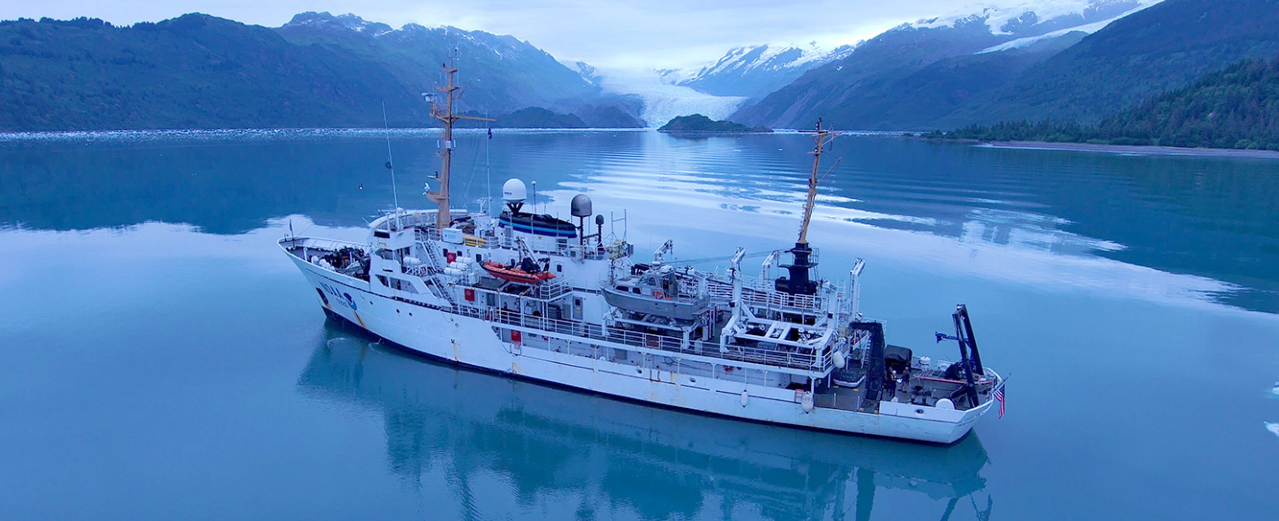
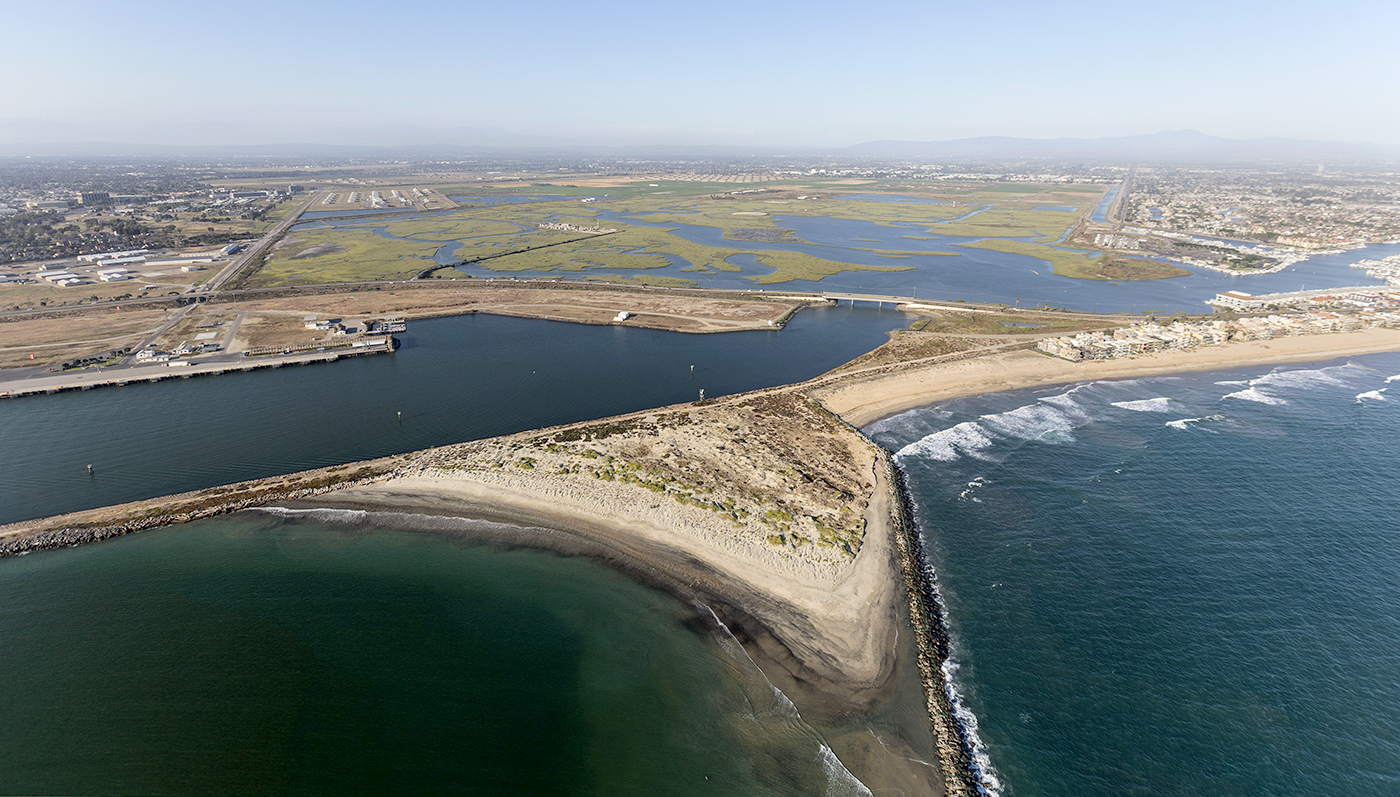
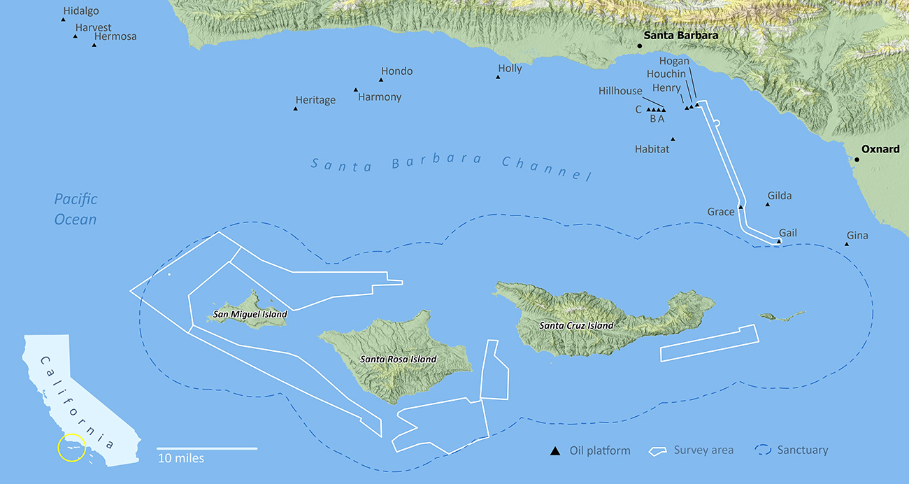
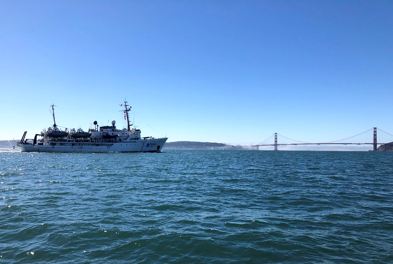
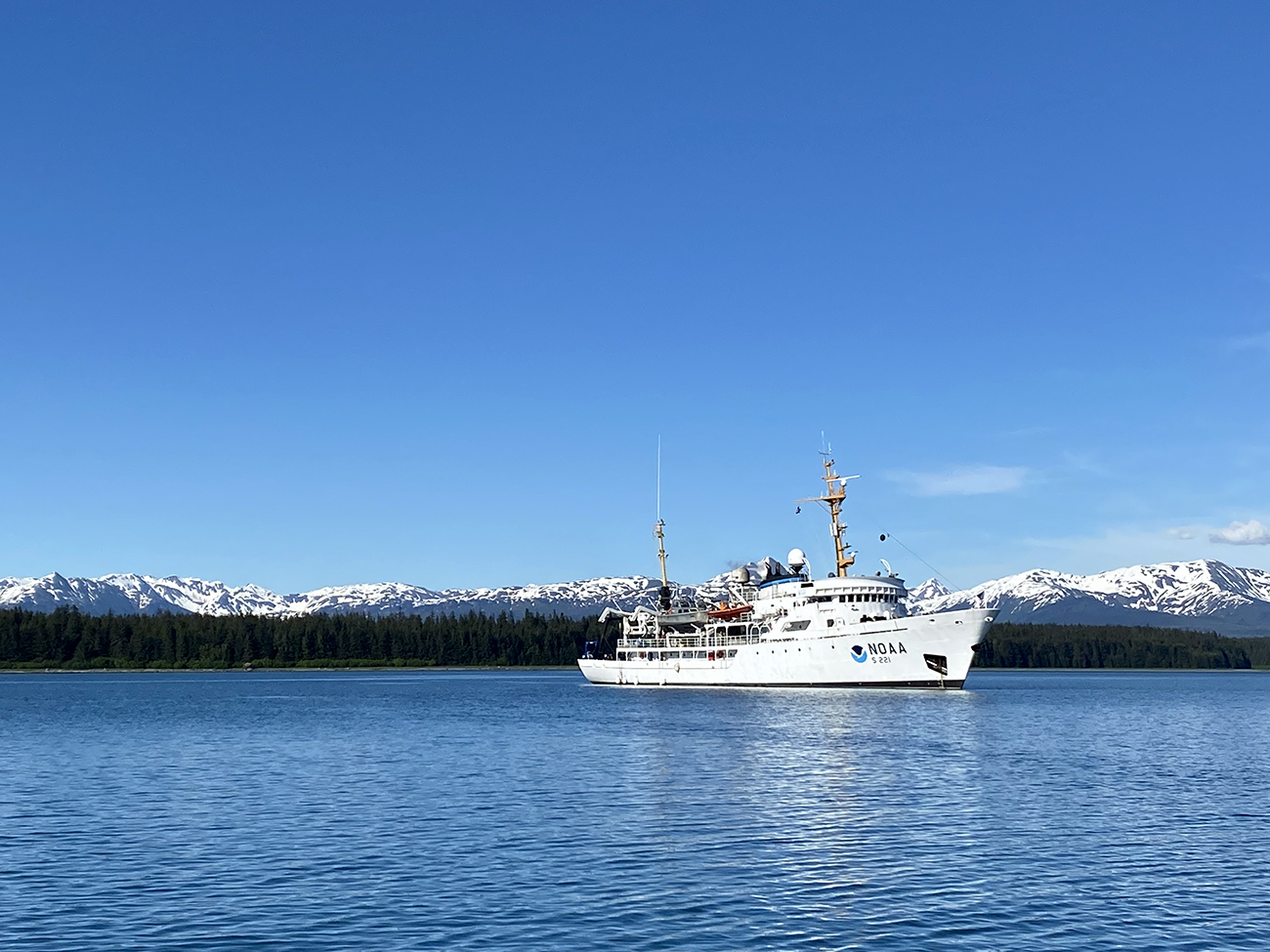
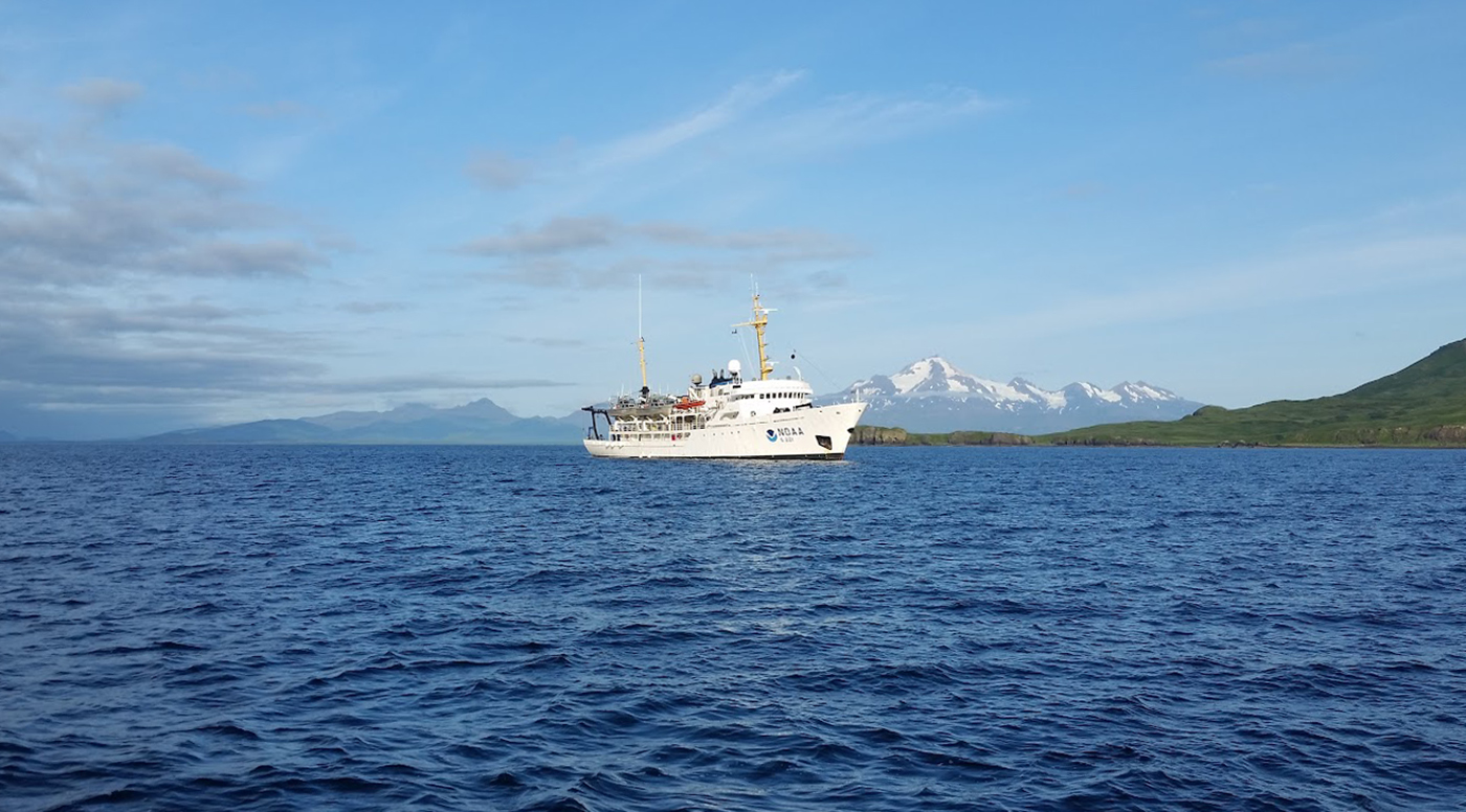
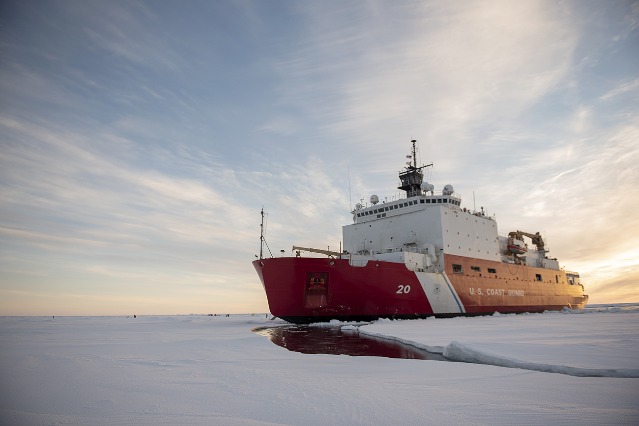
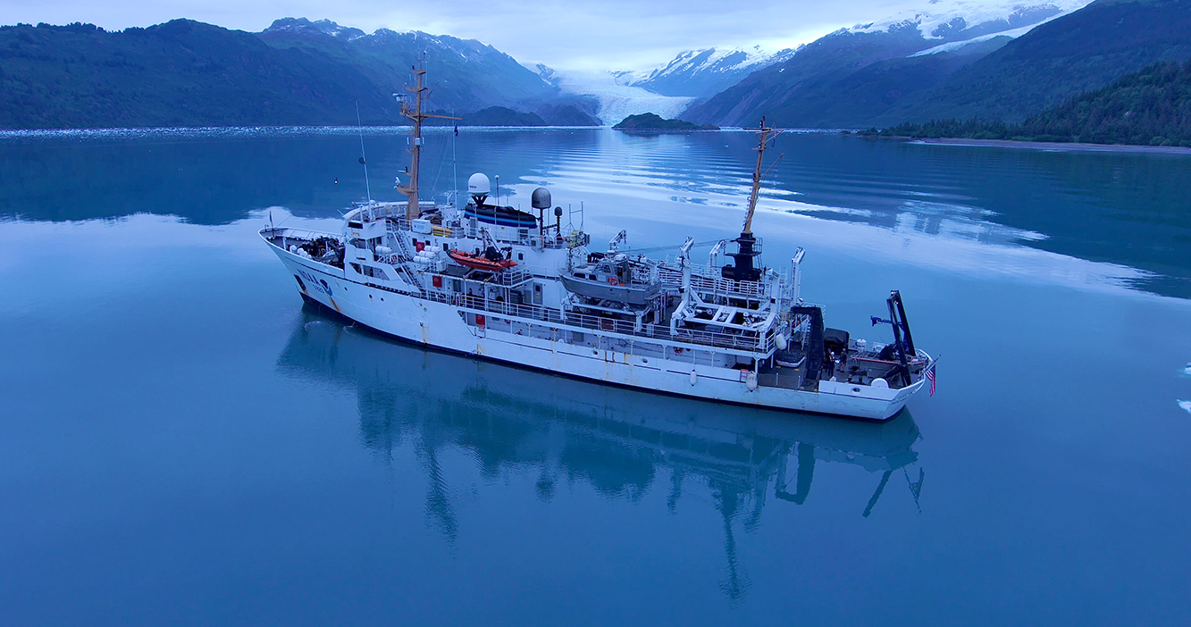
NOAA hydrographic survey ships and contractors are preparing for the 2022 hydrographic survey season in U.S. coastal waters and beyond. The ships collect bathymetric data (i.e. map the seafloor) to support nautical charting, modeling, and research, but also collect other environmental data to support a variety of ecosystem sciences. NOAA considers hydrographic survey requests from stakeholders such as marine pilots, local port authorities, the Coast Guard, and the boating community, and also considers other hydrographic and NOAA science priorities in determining where to survey and when. Visit our “living” story map to find out more about our mapping projects and if a hydrographic vessel will be in your area this year!
Continue reading “NOAA releases 2022 hydrographic survey season plans”The nautical chart update process – build it and we will chart it
Nautical charts are updated with the most current information available through several processes and workflows within NOAA’s Office of Coast Survey. The large majority of these updates consist of revisions to water depth information. The bottom of a water body is changeable by nature, thus hydrographic surveys are constantly necessary to show contemporary depths in a given body of water. What doesn’t happen quite as often are changes to land along the coast, altering the way inlets, harbor entrances, and river mouths appear from a bird’s eye view. Unless there has been a catastrophic event, these changes in land are usually the result of human interaction.
Continue reading “The nautical chart update process – build it and we will chart it”Backscatter and oil platforms – a Channel Islands adventure
By HAST Bailey Schrader, Operations Officer Lt. Shelley Devereaux and HST Adriana Varchetta
After enjoying the California sunshine in San Francisco Bay, NOAA Ship Fairweather began its transit down the coast towards Santa Barbara, California. The ship would not anchor for the next sixteen days, leaving all crew on 24-hour rotations. Thankfully, the already attenuated crew was visited by augmenting scientists and hydrographers – Physical Scientist Devereaux from the Pacific Hydrographic Branch, HHST Arboleda from NOAA Ship Thomas Jefferson, and HAST Schrader from NOAA Ship Rainier. Together, they traveled south to complete one of the last projects of the season, the area in and around Channel Islands National Marine Sanctuary.
Continue reading “Backscatter and oil platforms – a Channel Islands adventure”Underway from Alaska to California encountering a new phenomenon, cellular service
By ACHST Simon Swart, Operations Officer Lt. Shelley Devereaux, and HST Adriana Varchetta
After six months of surveying in Alaska, NOAA Ship Fairweather was ready to point the bow south and set sail for San Francisco Bay. However, an unforeseen circumstance stymied the planned underway date. Although we eagerly anticipated the warmer waters of San Francisco Bay, this delay was well received by the hydrographers in the survey department and amongst the NOAA Corps officers. Our work had begun stacking up due to an extremely busy season, coupled with the fact that for most of us, this was our first time working on hydrographic project sheets. Therefore, we happily used this week of “down-time” to complete previous project sheets and plan for the upcoming survey. Those of us as sheet managers focused on cleaning multibeam data, processing backscatter mosaics, attributing features, conducting quality control checks, and writing descriptive reports. This process was greatly assisted with the help of augmenting physical scientists Pete Holmberg and Janet Hsiao. In the end, we were able to finish processing a number of sheets and reach a comfortable place on all the others. After a week of long hours, we were finally ready to toss lines and say “see you next year Alaska.”
Continue reading “Underway from Alaska to California encountering a new phenomenon, cellular service”Deep fiords and hydrographic history in Glacier Bay National Park
By Ensign Alice Beittel and Ensign Karl Wagner
Throughout the spring and summer of 2021, NOAA Ship Rainier surveyed numerous bays and inlets of Alaska’s Glacier Bay National Park and Preserve. As one of the largest national wilderness systems and a United Nations designated World Heritage Site, Glacier Bay National Park includes over 2.7 million acres of marine, terrestrial, and freshwater ecosystems. This dynamic landscape is a living example of a never-ending cycle of geological and ecological change and adaptation. With up to 20-foot tide ranges, seasonal migrations of humpback whales and salmon, and glaciers in flux, the resilient ecosystem attracts millions of visitors each year. This year, Rainier surveyed the Beardslee Islands, Geikie Inlet, Berg Bay, Muir Inlet, Bartlett Cove, Pleasant Island, Taylor Bay, and Dundas Bay. Each survey area revealing several changes in seafloor bathymetry and bottom type. High-resolution seafloor bathymetry will be used to update nautical charts for safe navigation and serve as baseline data to support further research of this culturally and ecologically significant marine environment.
Continue reading “Deep fiords and hydrographic history in Glacier Bay National Park”Captain Benjamin Evans selected as next Coast Survey Director

We are pleased to announce that Capt. Benjamin Evans has been selected to serve as the next Director of the Office of Coast Survey. In this capacity, Capt. Evans will lead NOAA’s ocean mapping and nautical charting program, continuing the transformation of the agency’s navigation services to meet the needs of twenty first century mariners and apply Coast Survey’s technical expertise to meet a broad range of requirements for authoritative ocean mapping data. The Director of the Office of Coast Survey also represents NOAA and the United States as the “National Hydrographer” on interagency and international engagements.
The Kodiak archipelago – whales, foxes, and bears, oh my!
By Simon Swart and Adriana Varchetta
Between April and August of 2021, NOAA Ship Fairweather visited the southern part of the Kodiak archipelago to survey and provide updated bathymetry for a remote, yet important area that sorely needed new chart data. Early in the year, abundant wildlife and the sparse population meant the ship’s crew only had to contend with spritely weather patterns. But as spring turned to summer and the weather improved, the village of Akhiok became a hive of activity. Many types of fishing vessels began plying the waters around Alitak Bay, dropping crab pots and casting nets as they went. The increase in sunlight also transformed the landscape from brown, barren hills into a lush green canvas. Quick waves hello and calls from locals to not run over their crab pots, kept the importance of the mission at the forefront of the crews mind, with an occasional aircraft sighting jolting them back to the 21st century.
Continue reading “The Kodiak archipelago – whales, foxes, and bears, oh my!”Alaska to Greenland via the Northwest Passage
By Lt. Patrick Debroisse
In August and September 2021, the U.S. Coast Guard Cutter Healy transited through the Northwest Passage, from Alaska to Greenland. This voyage provided members of the University of New Hampshire’s Center for Coastal and Ocean Mapping/Joint Hydrographic Center (CCOM/JHC) the opportunity to collect data, helping to fill gaps in current hydrographic coverage in the passage and in the U.S. Exclusive Economic Zone (EEZ). Data in the Arctic where sea ice impedes ships is sparse. This is concerning as the Arctic nations, especially the United States, Canada, and Greenland evaluate both extended continental shelf claims and the potential for shipping routes through the Northwest Passage.
Continue reading “Alaska to Greenland via the Northwest Passage”New NOAA website provides marine navigation resources in a central location
A recently launched website from NOAA’s Precision Marine Navigation (PMN) program will improve the use and accessibility of NOAA’s marine navigation products and services. The website, Marine Navigation, includes links and short descriptions to NOAA’s various navigation resources, providing a one-stop shop that mariners can visit to get the data they need. Designed for shipping professionals and recreational boaters alike, the PMN program hopes the website will become a valuable tool to support all mariners in their navigation planning and decision making processes.
Continue reading “New NOAA website provides marine navigation resources in a central location”Surveying the waters of Prince William Sound, Alaska
By Matt Canning and Ensign Carly Robbins, NOAA Ship Fairweather
Sheets of ice stretch for miles and miles. Mountains and peaks reach with jagged arms straight for the heavens. Snowmounds inoffensively deafening visitors in the winter months with a quiet like no other. Glacier walls and their child icebergs bobbing in the deep, cold water at every turn. Wildlife of the sky and sea of every shape and size, from Tufted Puffins and Kittlitz’s Murrelets to harbor seals and orcas – this is Prince William Sound.
Continue reading “Surveying the waters of Prince William Sound, Alaska”