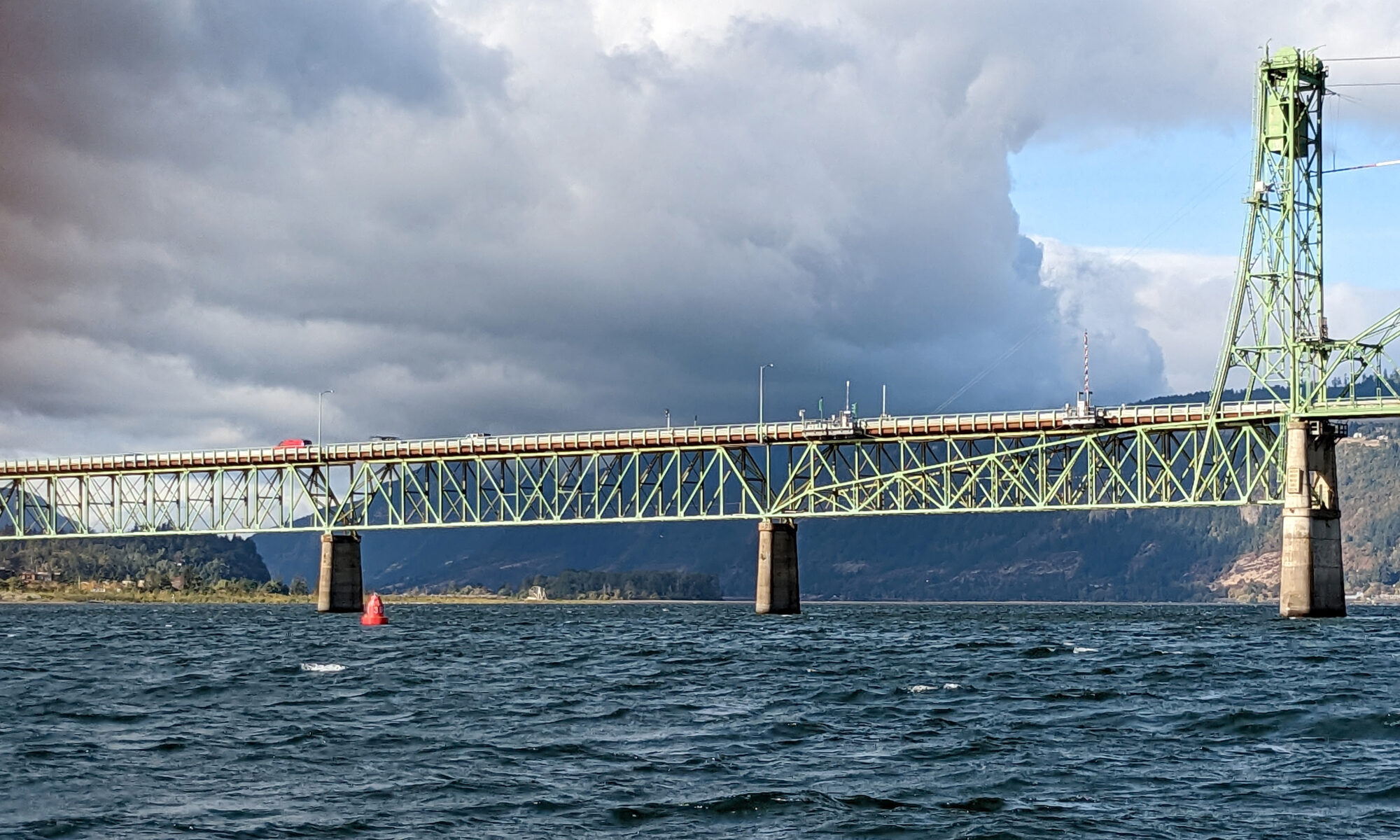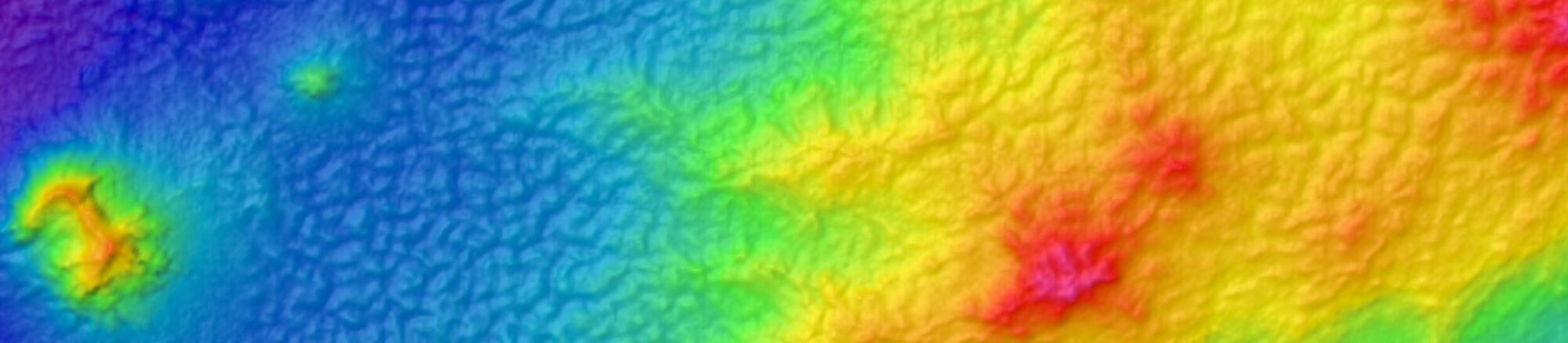
The Columbia River and its tributaries comprise one of the largest river systems in North America, flowing from British Columbia, Canada and through the United States to its final destination, the Pacific Ocean. The river is used extensively for transporting various cargoes into and out of the United States including forest products, grain, containerized cargo and bulk products like salt and cement. Upstream of Portland, barge and recreational traffic navigate the river to Kennewick, Washington or Lewiston, Idaho on the Snake River. For the people that use this river for its resources, this traffic almost assuredly has some type of ecological impact.
Continue reading “Supporting the mighty Columbia River through strong partnerships”Geospatial information in the Southwestern Pacific
By Dr. John Nyberg

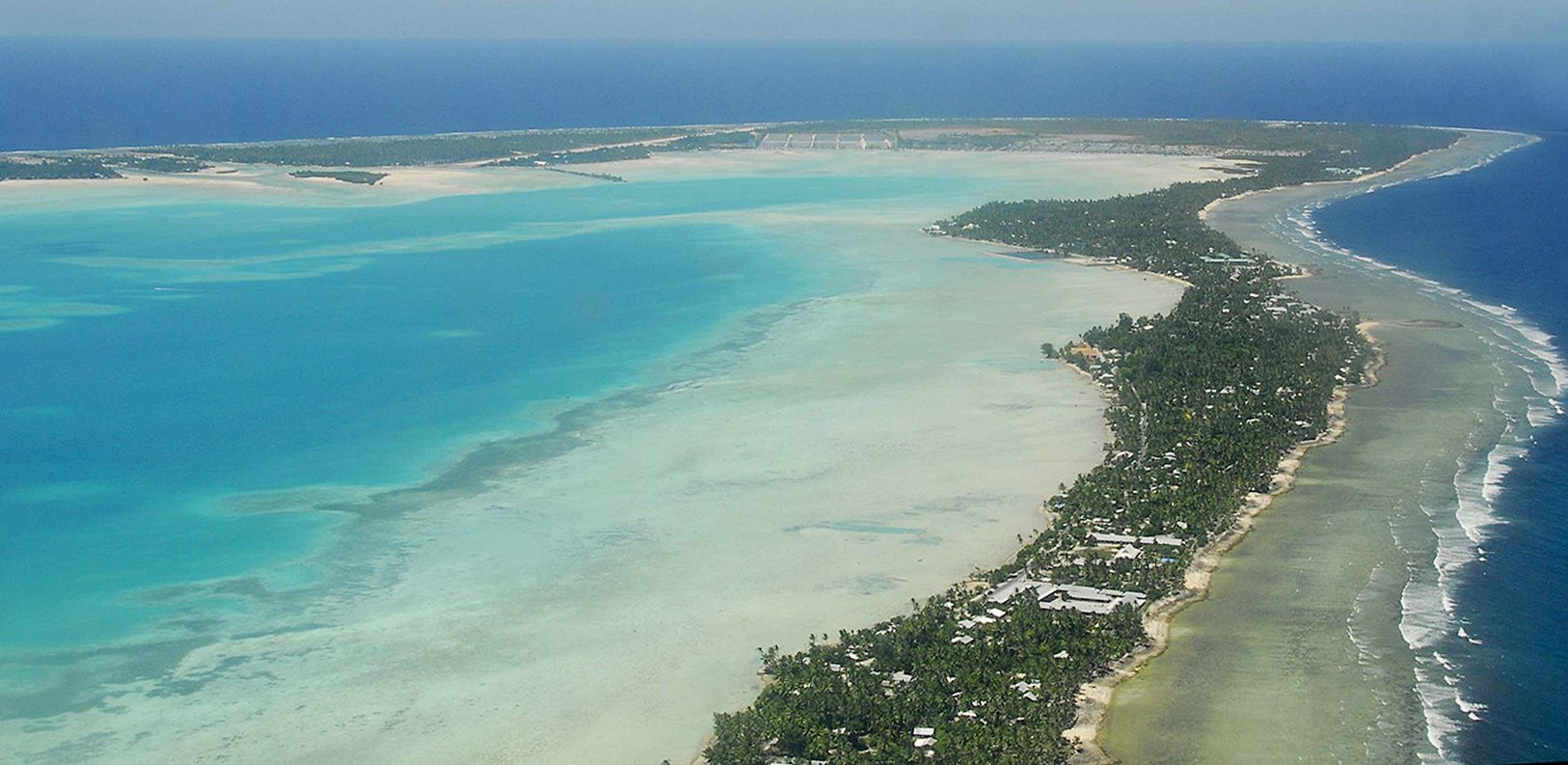
NOAA’s Office of Coast Survey Deputy Hydrographer Dr. John Nyberg participated in a State Department Science Fellowship through the U.S. Embassy in Suva, Fiji this past summer. The fellowship’s main goal for the region is to assist in accelerating the use of coastal and marine spatial planning for marine conservation and to deliver a curriculum to support it. Dr. Nyberg was asked to pay particular attention to engaging Kiribati (pronounced Kiribas), home to the Phoenix Islands Protected Area, one of the world’s largest and most important protected areas. The government of Kiribati is in the process of re-evaluating their approach toward managing the area, and one of the primary goals is to encourage the use of marine spatial planning in that process.
NOAA Ship Thomas Jefferson completes productive field season in the Great Lakes
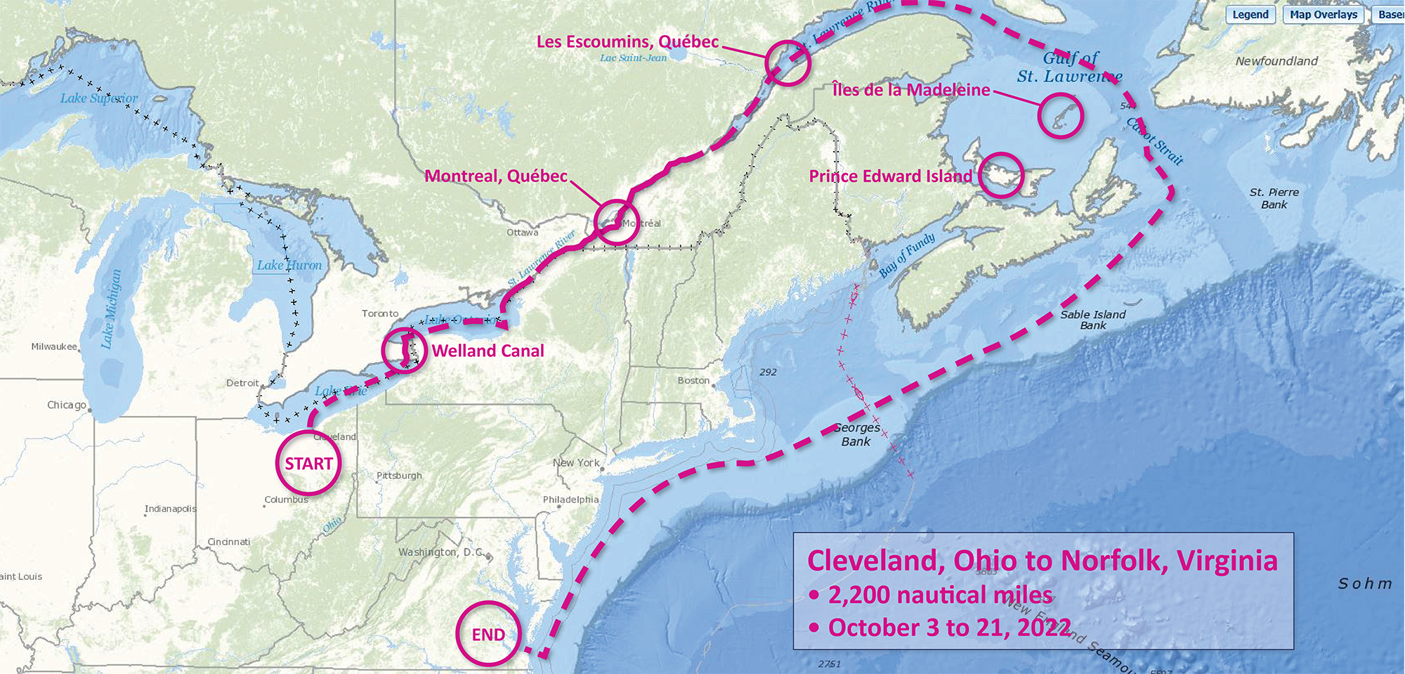
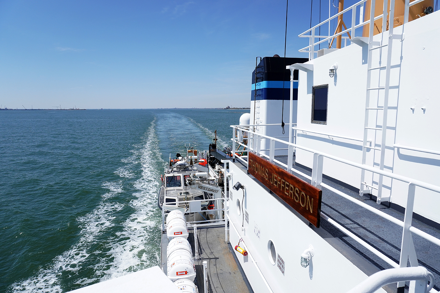
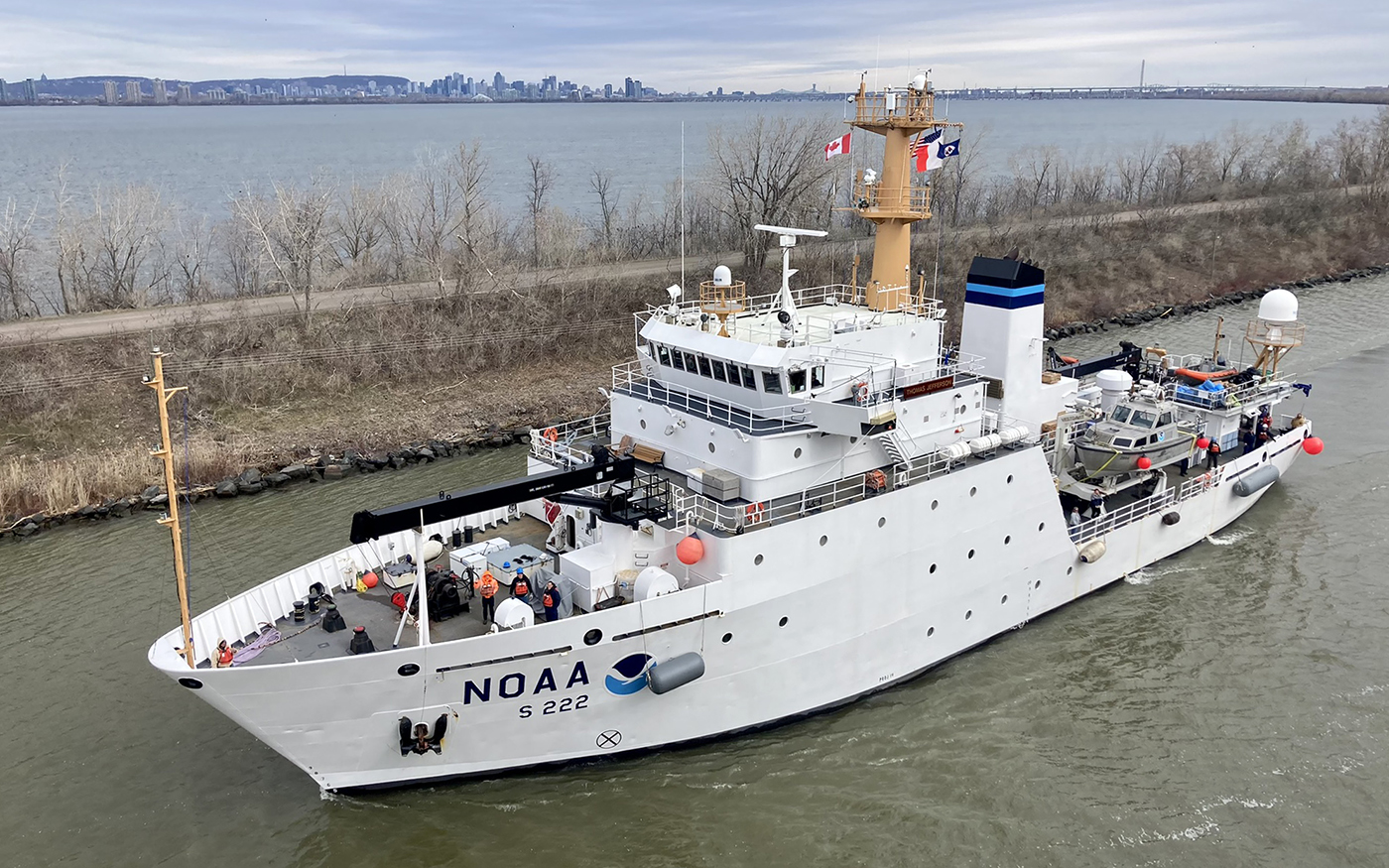
Although NOAA has a significant presence in the Great Lakes, this is the first time a white-hulled NOAA hydrographic ship has deployed there since the early 1990s. As a result of survey work in the Great Lakes, NOAA Ship Thomas Jefferson surveyed 450 square nautical miles of lake bottom in Lake Erie – an economically important and ecologically sensitive region. The ship also surveyed 274 square nautical miles in Lake Ontario in October. In both lakes, there were 42 confirmed and new shipwrecks identified along with 22 additional features!
Continue reading “NOAA Ship Thomas Jefferson completes productive field season in the Great Lakes”Help keep nautical charts up to date through citizen science
NOAA maintains a suite of nearly 2000 electronic navigational charts (NOAA ENC®), as well as the ten volume United States Coast Pilot®. The seafloor and coastline are dynamic environments, which means that our products are constantly scrutinized for possible changes. Each year we make thousands of updates to ENCs, ensuring we are providing the most accurate products possible. The source data for most of these updates comes from NOAA or contractor surveys or from our federal partners, such as the U.S. Army Corps of Engineers and the U.S. Coast Guard. However, we also rely on many other data sources to help keep our ENCs up-to-date.
Continue reading “Help keep nautical charts up to date through citizen science”NOAA-NSF collaboration – evaluating coastal models utilizing Texas Advanced Computing Center services
The Unified Forecast System (UFS) is a proposed community-based earth modeling system that is designed to incorporate oceanographic forecast model core(s) into a simplified NOAA modeling suite. This simplification is intended to reduce the footprint of the number of NOAA models and thus reduce development, operations, and maintenance.
Continue reading “NOAA-NSF collaboration – evaluating coastal models utilizing Texas Advanced Computing Center services”Surveying south of Cape Cod, Massachusetts in transit to the Great Lakes
By Hydrographic Assistant Survey Technician Sarah Thompson
April 10, 2022 marked the beginning of NOAA Ship Thomas Jefferson and her crew’s field season and transit up through the St. Lawrence River, Lake Ontario, and into Lake Erie. This field season, Thomas Jefferson’s base of operations will be in Cleveland, Ohio and has the distinction of being the first NOAA ship to survey the Great Lakes in over 30 years. On the way, Thomas Jefferson had the opportunity to respond to a U.S. Coast Guard request to survey and obtain modern bathymetry on Pollock Rip Channel off the Massachusetts coast.
Continue reading “Surveying south of Cape Cod, Massachusetts in transit to the Great Lakes”Ocean and coastal mapping matching fund opportunity
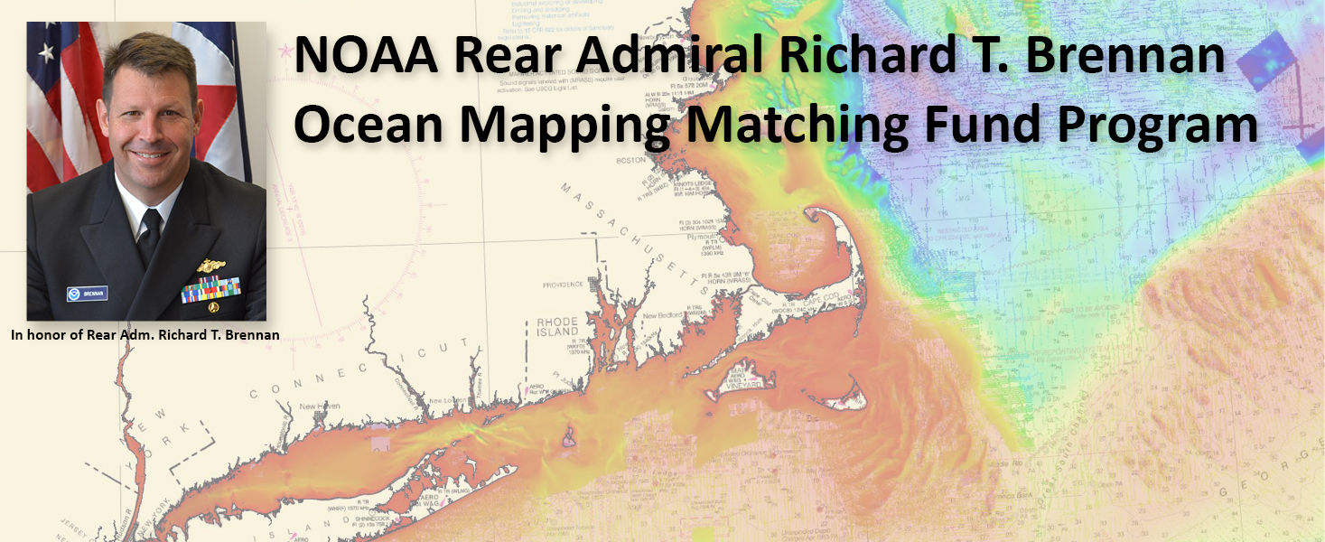
The Office of Coast Survey invites non-federal entities to partner with NOAA National Ocean Service’s ocean and coastal mapping programs on jointly funded projects of mutual interest using NOAA’s geospatial contracting vehicles. Known as the Brennan Matching Fund, the opportunity relies on NOAA’s mapping, charting, and geodesy expertise, appropriated funds, and its authority to receive and expend matching funds contributed by partners to conduct surveying and mapping activities. Partners benefit from this opportunity by leveraging NOAA’s contracting expertise, including its pool of pre-qualified technical experts in surveying and mapping as well as data management to ensure that the mapping data are fit for purpose and are usable for a broad set of purposes, including, for example, safe navigation, integrated ocean and coastal mapping, coastal zone management, renewable energy development, coastal and ocean science, climate preparedness, infrastructure investments, and other activities.
Continue reading “Ocean and coastal mapping matching fund opportunity”Conducting survey operations with Coast Survey’s navigation response teams
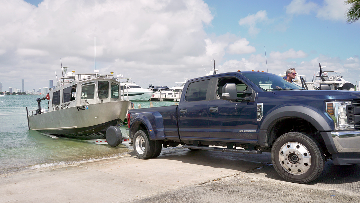
Strategically placed around the country, NOAA’s navigation response teams―30-foot survey vessels with a three-person survey team―maintain emergency readiness while checking chart accuracy in changing ports and harbors. Navigation response teams work day-to-day in ports and harbors, collecting data to update the nation’s nautical charts. They measure depths, locate obstructions, report dangers to navigation, and update features for safe navigation. Whether there is a need to investigate wrecks, check for suspected shoals, conduct surveys for coastal management, or work with other federal agencies to support homeland security, Coast Survey’s navigation response teams have the expertise to get the job done safely and efficiently.
Continue reading “Conducting survey operations with Coast Survey’s navigation response teams”Have it your way – creating customized nautical charts using the latest data
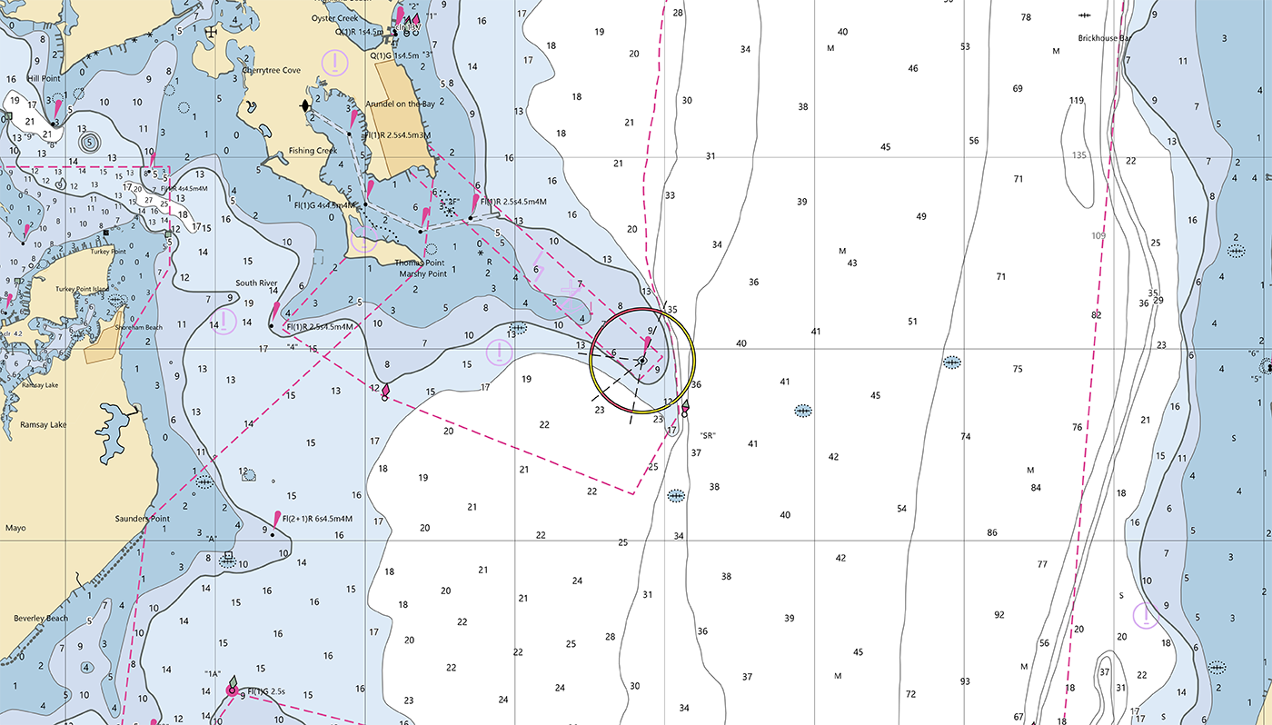
Nautical charts have always contained a great amount of information – even more so with electronic navigational charts. This information is constantly being updated, necessitating the need to keep your nautical chart suite as current as possible. The Office of Coast Survey’s online NOAA Custom Chart application enables users to create nautical charts directly from the latest official NOAA electronic navigational chart (NOAA ENC®) data. Users now have the ability to create their own nautical charts using individually set parameters, and then save this custom nautical chart as a file that can be viewed or printed.
Continue reading “Have it your way – creating customized nautical charts using the latest data”NOAA focuses on the Great Lakes for the 2022 field season
In 2022, NOAA and NOAA contractors will survey U.S. coastal waters and beyond, including multiple missions in the Great Lakes. As the volume, value and size of marine vessels in U.S. waters continues to grow, it is essential that NOAA increase the accuracy and frequency of surveys. A great amount of data on nautical charts of the Great Lakes is more than 50 years old, and only about 5 to 15 percent of the Great Lakes are mapped to modern standards using remote sensing methods such as light detection and ranging and sound navigation and ranging.
Continue reading “NOAA focuses on the Great Lakes for the 2022 field season”