Collecting aerial images on the Chesapeake’s Western Shore

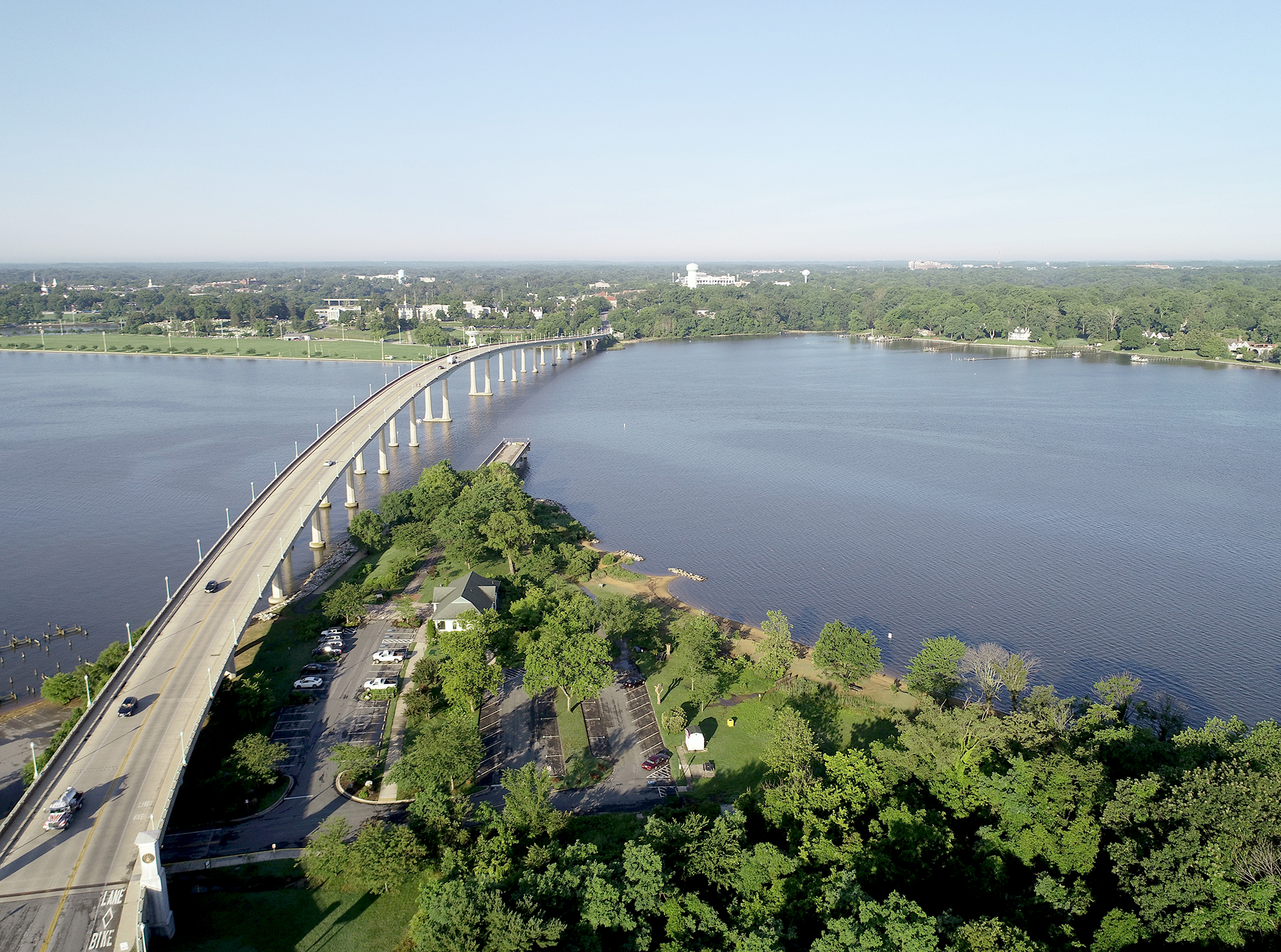
U.S. Naval Academy bridge crossing the Severn River

By Tom Loeper

Early in the morning of June 15, John Doroba and Tom Loeper met with Anne Arundel Park Ranger Adam Smith to collect aerial oblique images of several rivers on the Western Shore of the Chesapeake Bay. These images will be used to update existing content in the United States Coast Pilot 3, Atlantic Coast: Sandy Hook, New Jersey to Cape Henry, Virginia. In addition to acquiring images, experience gained during the field exercise will be used to update aerial photography specifications in the Coast Pilot manual.

Continue reading “Collecting aerial images on the Chesapeake’s Western Shore”

Coast Survey to shut down the Raster Navigational Chart Tile Service and other related services

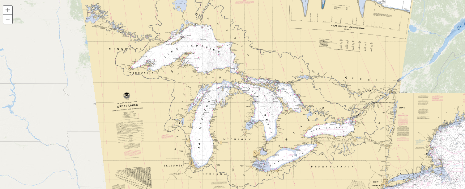
NOAA will shut down its Raster Navigational Chart (RNC) Tile Service and the online RNC Viewer on October 1, 2021. The NOAA Seamless Raster Navigational Chart Services will be shut down on January 1, 2022. This is part of a larger NOAA program to end production and maintenance of all NOAA traditional paper and raster nautical charts that was announced in the Federal Register in November 2019.

Continue reading “Coast Survey to shut down the Raster Navigational Chart Tile Service and other related services”

NOAA’s Precision Marine Navigation data service receives first major update

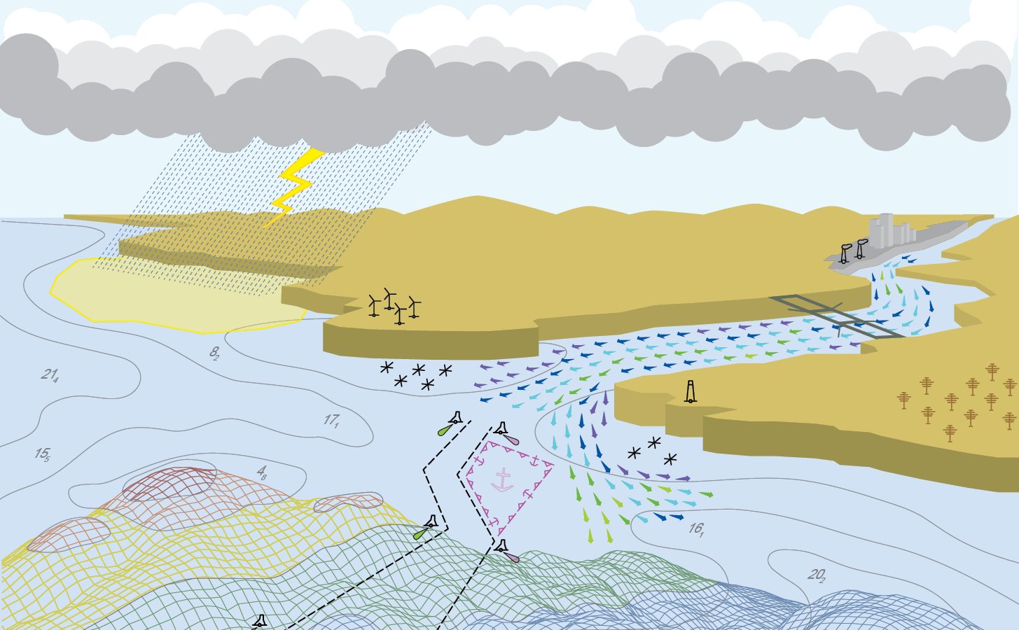
The Precision Marine Navigation (PMN) program has completed the first update of its prototype navigation data service – the PMN data processing and dissemination system and PMN Data Gateway viewer. The data processing and dissemination system provides surface current forecast guidance from NOAA’s forecast systems, in a prototype marine navigation data format. The viewer allows users to visualize the predictions and discover where they are. Both the system and the viewer were updated to include data from the recently upgraded Northern Gulf of Mexico Operational Forecast System (NGOFS2).

Continue reading “NOAA’s Precision Marine Navigation data service receives first major update”

By the Numbers: Coast Survey’s 2020 Atlantic Hurricane Season

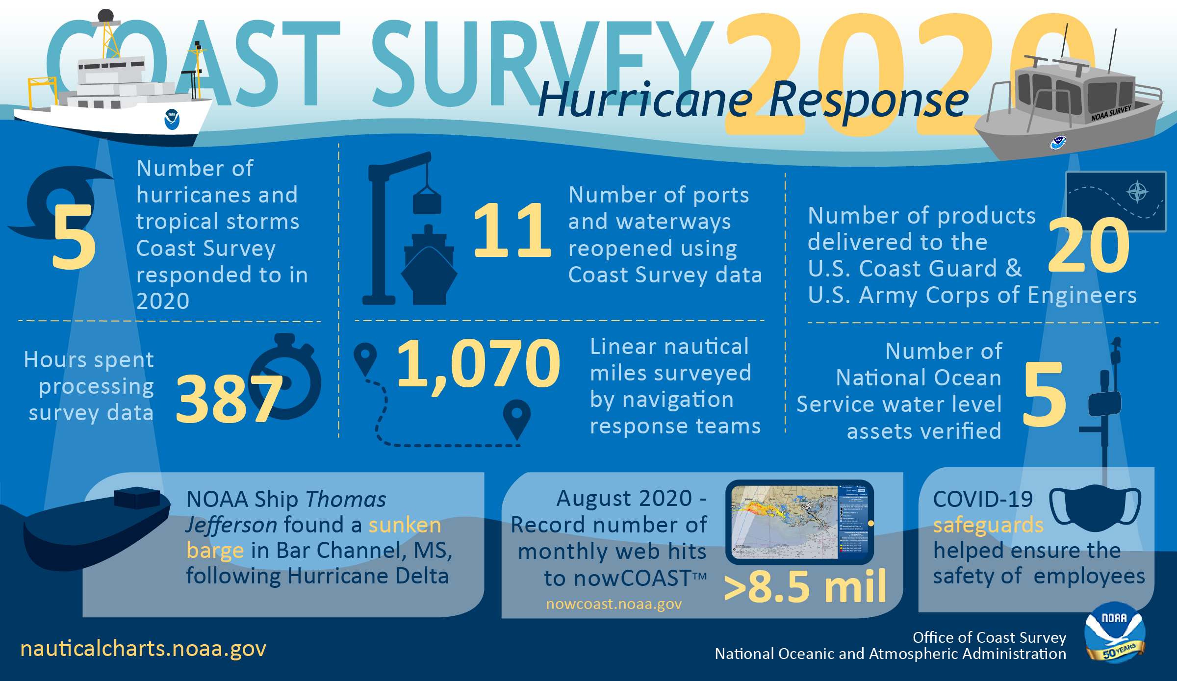
NOAA Office of Coast Survey 2020 hurricane season infographic

As the 2020 Atlantic hurricane season came to a close on November 30, NOAA’s Office of Coast Survey tallied a few numbers to see what the combined response effort of the navigation response teams, NOAA Ship Thomas Jefferson, and hydrographic survey contractor David Evans & Associates, Inc., looked like.  

Continue reading “By the Numbers: Coast Survey’s 2020 Atlantic Hurricane Season”

NOAA Ship Thomas Jefferson returns to survey approaches to Chesapeake Bay during the 2020 field season

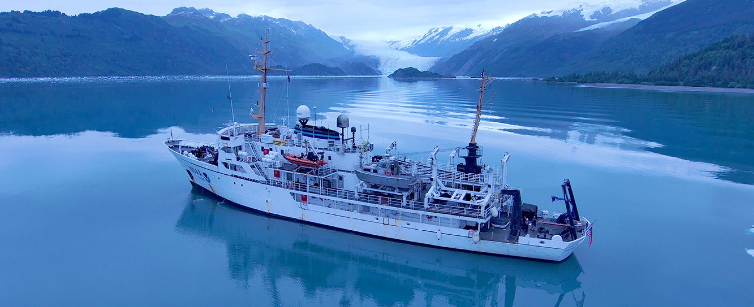
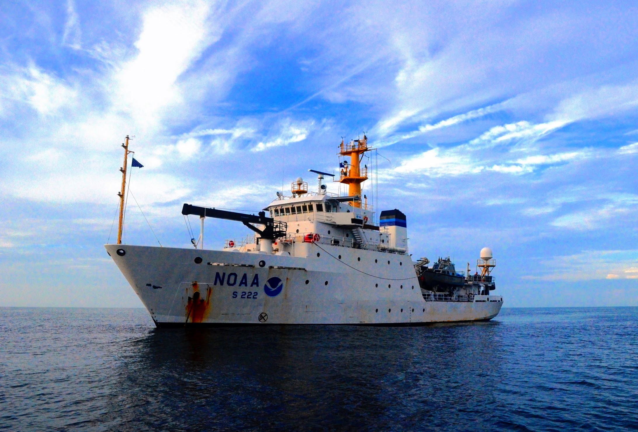
NOAA Ship Thomas Jefferson

By Hydrographic Assistant Survey Technician Sophia Tigges

For the first portion of the 2020 field season, NOAA Ship Thomas Jefferson surveyed approaches to Chesapeake Bay. Thomas Jefferson’s 2020 field season consisted of two 45-day “bubble” periods. A “bubble period” is the time a ship closes to personnel transfer while they shelter in place for seven days and undergo COVID-19 testing per NOAA’s Office of Marine and Aviation Operation’s COVID-19 protocol to mitigate exposure. The ship spent the entire first bubble working off the coast of North Carolina and Virginia for this project. These surveys served as a continuation of the ship’s work in the area in the 2019 season.  (To learn more about Thomas Jefferson’s work in this area last year, read the 2019 post titled, “NOAA Ship Thomas Jefferson tests innovative DriX unmanned surface vehicle.”

Continue reading “NOAA Ship Thomas Jefferson returns to survey approaches to Chesapeake Bay during the 2020 field season”

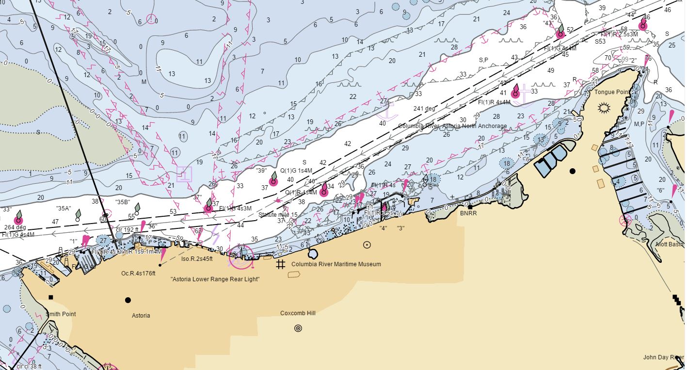
Nautical charts reflect alternate route along Gulf Intracoastal Waterway

Portion of Chandeleur Sound Gulf Intracoastal Waterway alternate route.

In anticipation of the temporary closure of the Gulf Intracoastal Waterway (GIWW)’s Inner Harbor Canal Lock, the Office of Coast Survey released three updated NOAA electronic navigational charts (NOAA ENC®) reflecting the Chandeleur Sound Alternate Route and the addition of 97 Aids to Navigation (ATON). The updated charts include US5LA24M, US4LA34M, and US4MS12M and can be viewed in NOAA’s ENC Viewer or downloaded from NOAA’s Chart Locator.

Continue reading “Nautical charts reflect alternate route along Gulf Intracoastal Waterway”

NOAA Coast Survey’s new strategy supports charting mandates and broader seafloor mapping

This week, NOAA’s Office of Coast Survey released the Mapping U.S. Marine and Great Lakes Waters: Office of Coast Survey Contributions to a National Ocean Mapping Strategy. This report is part of NOAA’s ongoing commitment to meet core surveying and nautical charting mandates while supporting broader needs to fill gaps in seafloor mapping and environmental sciences.

Continue reading “NOAA Coast Survey’s new strategy supports charting mandates and broader seafloor mapping”

NOAA releases prototype surface current forecast data for industry testing

portable pilot unit on the bridge of a ship

Prototype data for surface current forecasts in the International Hydrographic Organization (IHO) S-111 format is now available for testing through the NOAA Big Data Program. In June, NOAA announced that we were preparing surface current forecast data for dissemination trials. Now that these data are available, industry can integrate these prototype data into different types of navigation software systems such as portable pilot units and under keel clearance systems. By making these data more accessible, more machine-to-machine readable, and more integrated, NOAA aims to amplify the power of our navigation data for users across the maritime industry.    

Continue reading “NOAA releases prototype surface current forecast data for industry testing”