
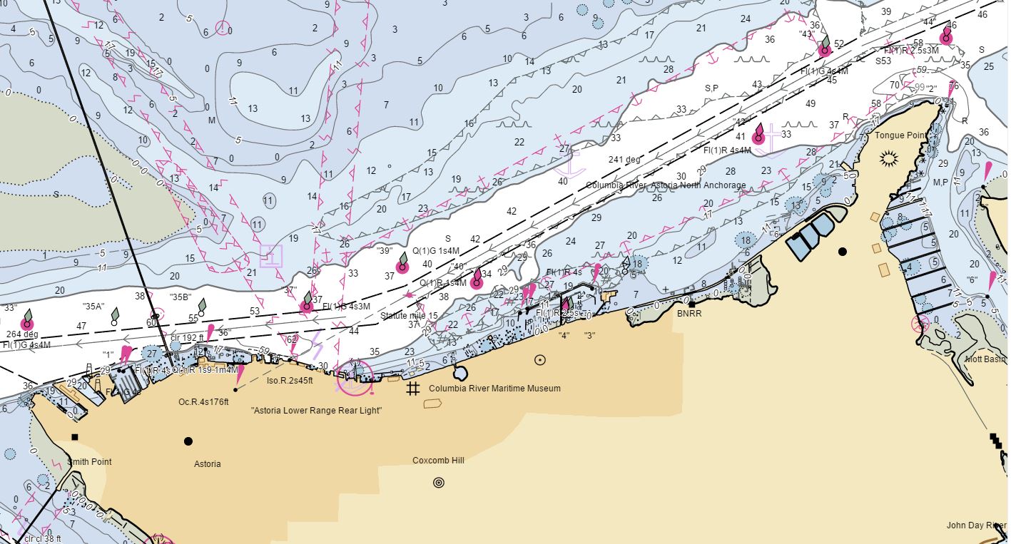
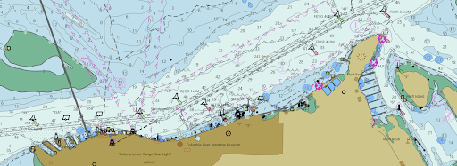
The new NOAA Chart Display Service (NCDS) renders NOAA electronic navigational chart (NOAA ENC®) data with “traditional paper chart” symbology in online and offline applications for which a basemap of nautical chart data is desired, including GIS, web-based, and mobile mapping applications. The new service uses symbols, labels, and color schemes familiar to those who have used NOAA paper nautical charts or the NOAA Custom Chart application. NCDS is available as Esri REST Map Service, OGC Web Map Service (WMS), and MBTiles formats.
NOAA is developing an online NCDS viewer that will enable users to easily pan and zoom through U.S. ENC data rendered by the NCDS. This preview of the viewer – available on the Coast Survey website soon – will give you an idea of what the NCDS rendered data looks like.
The NCDS replaces the Raster Navigational Chart (RNC) Tile Service and the Seamless RNC Service. These services are being shut down on March 15 as part of NOAA’s continuing transition away from traditional paper and raster nautical charts in order to focus on improving and modernizing ENC coverage. Production of all traditional paper and raster charts will end by January 2025, as described on Coast Survey’s Farewell to Traditional Nautical Charts web page.
The new chart display service joins the existing ECDIS Display Service that uses symbology specified by the International Hydrographic Organization (IHO) for the display of ENC data on Electronic Chart Display and Information Systems (ECDIS) that large ocean-going vessels and many smaller commercial ships use for navigation. This symbol set is commonly referred to by its IHO specification number, “S-52,” or as “ECDIS symbology.” This service is available in Esri REST Map Service and OGC Web Map Service (WMS) formats.
Links for all of these ENC-based display services are on Coast Survey’s ENC Display Services web page. Note that the links do not open viewers that can display the ENC data directly. The links provide access to the rendered ENC data that software and web map developers can use in their applications to display the data.
Coast Survey is interested in knowing how developers are implementing the new NOAA Chart Display Service in online and offline applications, and what users think about the way the ENC data is being portrayed. You can submit questions or comments, and report problems, through Coast Survey’s ASSIST stakeholder engagement and feedback tool.
I am attempting to use the new WMS, but as I am interested in knowing chart information (number, date, version, etc.), how do I find that information?
Hello,
Coast Survey has a system that you can use to ask a question called ASSIST. This is the best way to get the correct answer to your question. Questions usually get answered in a day or two. https://nauticalcharts.noaa.gov/customer-service/assist/
Esri REST Map Service, OGC Web Map Service (WMS)
using the links at the Coast Survey’s ENC Display Services web page
https://nauticalcharts.noaa.gov/data/gis-data-and-services.html
respond with
HTTP Error 503. The service is unavailable.
Is this just a temporary problem or did these services move to a new location?
When you get a moment, try the links again as it appears they are working now. This must have been a temporary error and I have been assured that the services have not moved. Thanks!
Hello,
I am attempting to use the new NOAA Chart Display Service WMTS as a map layer and it seems to be down, perhaps for some time as I was trying to use it on 5/27 to no avail as well.
Are both the WMS and WMTS down right now? I don’t get a useful response from either of these links:
https://gis.charttools.noaa.gov/arcgis/rest/services/MCS/NOAAChartDisplay/MapServer/exts/MaritimeChartService/WMSServer
https://gis.charttools.noaa.gov/arcgis/rest/services/MarineChart_Services/NOAACharts/MapServer/WMTS
I was going to fill out an Assist form but this link doesn’t bring me to anywhere to fill one out: https://nauticalcharts.noaa.gov/customer-service/assist/
In general is there a health check website or something where I can view the status of the tile server?
Thanks!
Are there any developer guides or examples on how to use the WMTS map server?
I have the same question … Did you ever find one? Thank you